
| Memorials | : | 2 |
| Location | : | Warsaw, Coshocton County, USA |
| Coordinate | : | 40.3615800, -82.0165150 |
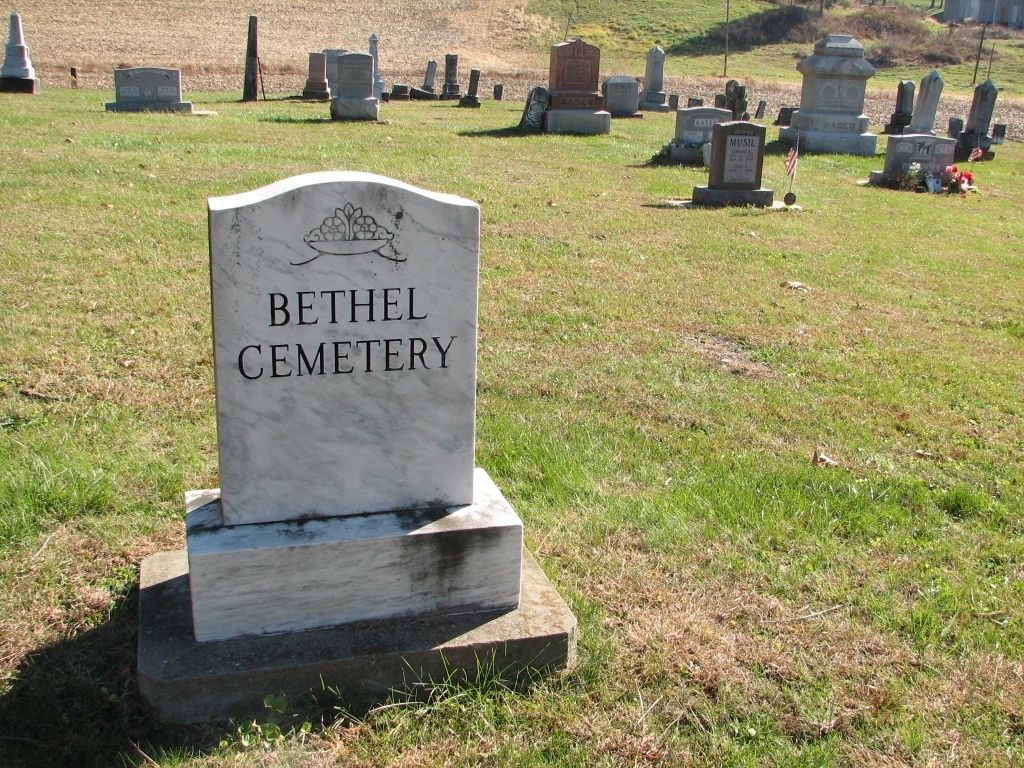
| Description | : | The cemetery is located on the east side of Township Road 346 about 0.2 mile northeast of its junction with Township Road 33. The cemetery is located in Jefferson Township, Coshocton County, Ohio, and is # 2265 (Bethel Cemetery / Zion Evangelical Lutheran Cemetery) in “Ohio Cemeteries 1803-2003”, compiled by the Ohio Genealogical Society. The cemetery is registered with the Ohio Division of Real Estate and Professional Licensing (ODRE) as Bethel with registration license number CGR.0000982967. The U.S. Geological Survey (USGS) Geographic Names Information System (GNIS) feature ID for the cemetery is 1964151 (Zion Evangelical Lutheran Cemetery). |
frequently asked questions (FAQ):
-
Where is Bethel Cemetery?
Bethel Cemetery is located at TR 346 Warsaw, Coshocton County ,Ohio , 43844USA.
-
Bethel Cemetery cemetery's updated grave count on graveviews.com?
2 memorials
-
Where are the coordinates of the Bethel Cemetery?
Latitude: 40.3615800
Longitude: -82.0165150
Nearby Cemetories:
1. Saint Elizabeth Mission Cemetery
Spring Mountain, Coshocton County, USA
Coordinate: 40.3817900, -82.0108300
2. Bateman Cemetery
Warsaw, Coshocton County, USA
Coordinate: 40.3483840, -81.9876370
3. Weatherwax Cemetery
Clark, Coshocton County, USA
Coordinate: 40.3839560, -81.9918080
4. Darling Run Cemetery
Nellie, Coshocton County, USA
Coordinate: 40.3436012, -82.0505981
5. Bucklew Cemetery
Metham, Coshocton County, USA
Coordinate: 40.3849983, -81.9858017
6. Valley View Cemetery
Warsaw, Coshocton County, USA
Coordinate: 40.3255997, -82.0139008
7. Jefferson Presbyterian Cemetery
Warsaw, Coshocton County, USA
Coordinate: 40.3200690, -82.0165291
8. Blissfield Cemetery
Blissfield, Coshocton County, USA
Coordinate: 40.3927994, -81.9728012
9. Spring Mountain Cemetery
Spring Mountain, Coshocton County, USA
Coordinate: 40.4053800, -82.0439000
10. Mount Zion Methodist Church Cemetery
Metham, Coshocton County, USA
Coordinate: 40.3559580, -81.9522140
11. Butler East Cemetery
Nellie, Coshocton County, USA
Coordinate: 40.3514580, -82.0818970
12. Waring Cemetery
Metham, Coshocton County, USA
Coordinate: 40.3505580, -81.9470740
13. Dutch Meeting House Cemetery
Warsaw, Coshocton County, USA
Coordinate: 40.3796207, -81.9459337
14. Antioch Cemetery
Coshocton County, USA
Coordinate: 40.3046989, -81.9933014
15. Mohawk Methodist Church Cemetery
Mohawk Village, Coshocton County, USA
Coordinate: 40.3182290, -82.0724610
16. Casebeer Cemetery
Metham, Coshocton County, USA
Coordinate: 40.3629220, -81.9360840
17. Butler West Cemetery
Nellie, Coshocton County, USA
Coordinate: 40.3523620, -82.0961490
18. Pleasant Hill Cemetery
Coshocton County, USA
Coordinate: 40.4225006, -82.0038986
19. Blooming Grove Cemetery
Randle, Coshocton County, USA
Coordinate: 40.3017006, -81.9843979
20. Fox Cemetery
Blissfield, Coshocton County, USA
Coordinate: 40.4035988, -81.9424973
21. Big Run Cemetery
Layland, Coshocton County, USA
Coordinate: 40.4338989, -82.0081024
22. Honey Run Cemetery
Walhonding, Coshocton County, USA
Coordinate: 40.3711014, -82.1175003
23. Dutch Run Cemetery
Tiverton Township, Coshocton County, USA
Coordinate: 40.4021988, -82.1072006
24. McKee Cemetery
Walhonding, Coshocton County, USA
Coordinate: 40.3817123, -82.1190115