
| Memorials | : | 0 |
| Location | : | Hove, Brighton and Hove Unitary Authority, England |
| Coordinate | : | 50.8472720, -0.1851550 |
frequently asked questions (FAQ):
-
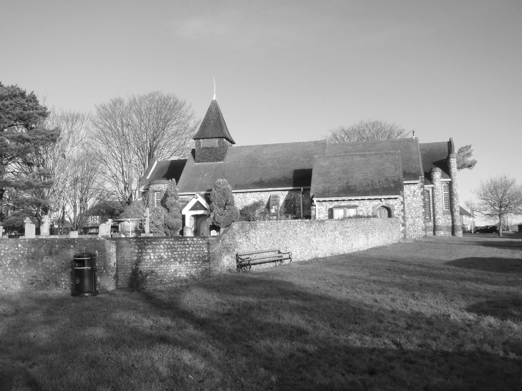
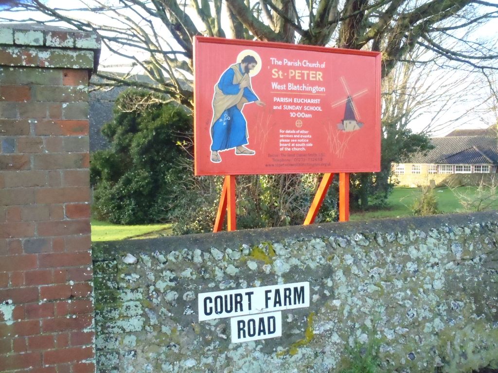
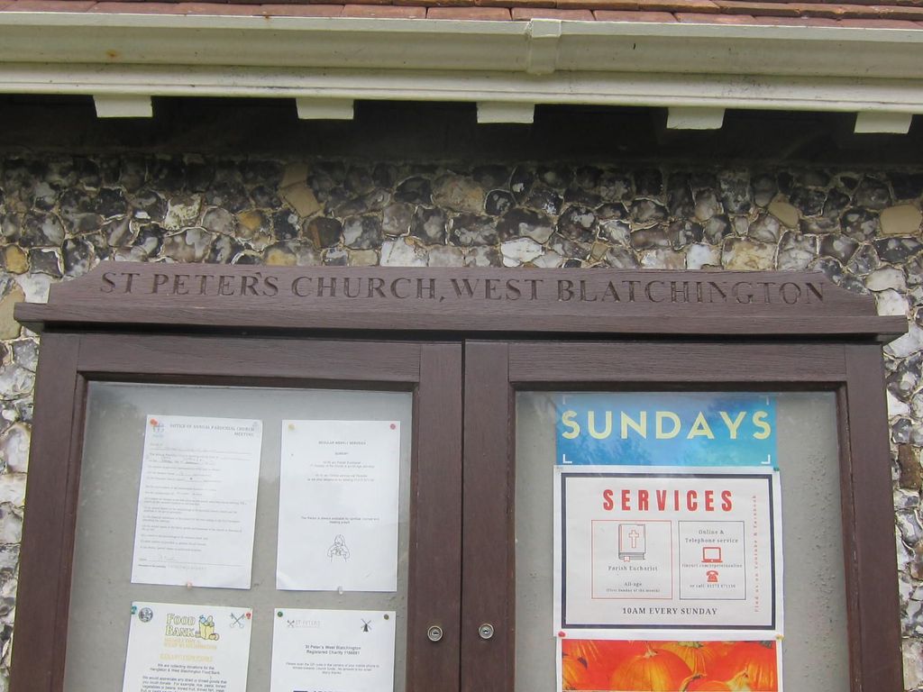
Where is West Blatchington St. Peter Churchyard?
West Blatchington St. Peter Churchyard is located at Hove, Brighton and Hove Unitary Authority ,East Sussex ,England.
-
West Blatchington St. Peter Churchyard cemetery's updated grave count on graveviews.com?
0 memorials
-
Where are the coordinates of the West Blatchington St. Peter Churchyard?
Latitude: 50.8472720
Longitude: -0.1851550
Nearby Cemetories:
1. Bishop Hannington Memorial Church
Hove, Brighton and Hove Unitary Authority, England
Coordinate: 50.8427530, -0.1871460
2. Saint Helen's Churchyard
Hangleton, Brighton and Hove Unitary Authority, England
Coordinate: 50.8510910, -0.2008410
3. Hove Cemetery
Hove, Brighton and Hove Unitary Authority, England
Coordinate: 50.8383100, -0.1950460
4. St Leonard Churchyard
Hove, Brighton and Hove Unitary Authority, England
Coordinate: 50.8329353, -0.2037728
5. Cardinal Newman Catholic School Cemetery
Hove, Brighton and Hove Unitary Authority, England
Coordinate: 50.8369870, -0.1586370
6. St Andrew the Old Churchyard
Hove, Brighton and Hove Unitary Authority, England
Coordinate: 50.8285760, -0.1750850
7. All Saints Church
Hove, Brighton and Hove Unitary Authority, England
Coordinate: 50.8303800, -0.1672270
8. Portslade Cemetery
Portslade, Brighton and Hove Unitary Authority, England
Coordinate: 50.8358780, -0.2135400
9. St. Nicolas Churchyard
Portslade, Brighton and Hove Unitary Authority, England
Coordinate: 50.8430280, -0.2181350
10. Saint Peter's Churchyard
Preston, Brighton and Hove Unitary Authority, England
Coordinate: 50.8430580, -0.1506110
11. All Saints Churchyard
Patcham, Brighton and Hove Unitary Authority, England
Coordinate: 50.8665100, -0.1510800
12. Southwick Cemetery
Southwick, Adur District, England
Coordinate: 50.8429050, -0.2316730
13. St Andrew's Church
Hove, Brighton and Hove Unitary Authority, England
Coordinate: 50.8234900, -0.1569400
14. St. Michael's Churchyard
Brighton, Brighton and Hove Unitary Authority, England
Coordinate: 50.8274590, -0.1498000
15. Queen Elizabeth II Field
Brighton, Brighton and Hove Unitary Authority, England
Coordinate: 50.8261382, -0.1456460
16. St. Nicholas Rest Garden
Brighton, Brighton and Hove Unitary Authority, England
Coordinate: 50.8255348, -0.1460460
17. St. Nicholas Churchyard
Brighton, Brighton and Hove Unitary Authority, England
Coordinate: 50.8254356, -0.1448820
18. Florence Place Jewish Cemetery
Brighton, Brighton and Hove Unitary Authority, England
Coordinate: 50.8386221, -0.1325497
19. St Bartholemew Church
Brighton, Brighton and Hove Unitary Authority, England
Coordinate: 50.8306541, -0.1369860
20. Hanover Chapel Burial Ground
Brighton, Brighton and Hove Unitary Authority, England
Coordinate: 50.8252920, -0.1423620
21. St. Peters
Brighton, Brighton and Hove Unitary Authority, England
Coordinate: 50.8282670, -0.1349480
22. St. Michael & All Angels Churchyard
Southwick, Adur District, England
Coordinate: 50.8348240, -0.2411970
23. St Martin with St Wilfrid and St Alban Church
Brighton, Brighton and Hove Unitary Authority, England
Coordinate: 50.8331604, -0.1287570
24. Extra-Mural Cemetery
Brighton, Brighton and Hove Unitary Authority, England
Coordinate: 50.8373830, -0.1242430