
| Memorials | : | 1 |
| Location | : | Hangleton, Brighton and Hove Unitary Authority, England |
| Coordinate | : | 50.8510910, -0.2008410 |
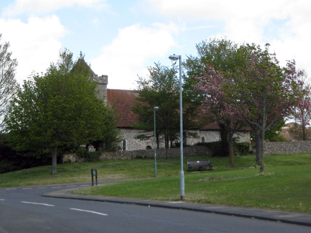
| Description | : | St Helen's Church: An Anglican church in the Hangleton area of Hove, it is the oldest surviving building in the English city of Brighton and Hove. It is the ancient parish church of Hangleton — an isolated downland village which was abandoned in the Middle Ages and consisted of open farmland until the 1920s, when extensive residential development took place. Clergyman and social reformer the Reverend Samuel Augustus Barnett, founder of Toynbee Hall in London, and his wife Dame Henrietta, who conceived and helped to create Hampstead Garden Suburb, are buried in the churchyard to the north of the church, Plot... Read More |
frequently asked questions (FAQ):
-
Where is Saint Helen's Churchyard?
Saint Helen's Churchyard is located at Hangleton Way/Downsview Hangleton, Brighton and Hove Unitary Authority ,East Sussex , BN3 8EREngland.
-
Saint Helen's Churchyard cemetery's updated grave count on graveviews.com?
1 memorials
-
Where are the coordinates of the Saint Helen's Churchyard?
Latitude: 50.8510910
Longitude: -0.2008410
Nearby Cemetories:
1. West Blatchington St. Peter Churchyard
Hove, Brighton and Hove Unitary Authority, England
Coordinate: 50.8472720, -0.1851550
2. Bishop Hannington Memorial Church
Hove, Brighton and Hove Unitary Authority, England
Coordinate: 50.8427530, -0.1871460
3. Hove Cemetery
Hove, Brighton and Hove Unitary Authority, England
Coordinate: 50.8383100, -0.1950460
4. St. Nicolas Churchyard
Portslade, Brighton and Hove Unitary Authority, England
Coordinate: 50.8430280, -0.2181350
5. Portslade Cemetery
Portslade, Brighton and Hove Unitary Authority, England
Coordinate: 50.8358780, -0.2135400
6. St Leonard Churchyard
Hove, Brighton and Hove Unitary Authority, England
Coordinate: 50.8329353, -0.2037728
7. Southwick Cemetery
Southwick, Adur District, England
Coordinate: 50.8429050, -0.2316730
8. St Andrew the Old Churchyard
Hove, Brighton and Hove Unitary Authority, England
Coordinate: 50.8285760, -0.1750850
9. All Saints Church
Hove, Brighton and Hove Unitary Authority, England
Coordinate: 50.8303800, -0.1672270
10. Cardinal Newman Catholic School Cemetery
Hove, Brighton and Hove Unitary Authority, England
Coordinate: 50.8369870, -0.1586370
11. St. Michael & All Angels Churchyard
Southwick, Adur District, England
Coordinate: 50.8348240, -0.2411970
12. Saint Peter's Churchyard
Preston, Brighton and Hove Unitary Authority, England
Coordinate: 50.8430580, -0.1506110
13. St. Julian's Churchyard
Shoreham-by-Sea, Adur District, England
Coordinate: 50.8340600, -0.2465500
14. All Saints Churchyard
Patcham, Brighton and Hove Unitary Authority, England
Coordinate: 50.8665100, -0.1510800
15. St Andrew's Church
Hove, Brighton and Hove Unitary Authority, England
Coordinate: 50.8234900, -0.1569400
16. St. Michael's Churchyard
Brighton, Brighton and Hove Unitary Authority, England
Coordinate: 50.8274590, -0.1498000
17. Poynings Cemetery
Poynings, Mid Sussex District, England
Coordinate: 50.8931150, -0.2024450
18. Queen Elizabeth II Field
Brighton, Brighton and Hove Unitary Authority, England
Coordinate: 50.8261382, -0.1456460
19. St. Nicholas Rest Garden
Brighton, Brighton and Hove Unitary Authority, England
Coordinate: 50.8255348, -0.1460460
20. St. Nicholas Churchyard
Brighton, Brighton and Hove Unitary Authority, England
Coordinate: 50.8254356, -0.1448820
21. Florence Place Jewish Cemetery
Brighton, Brighton and Hove Unitary Authority, England
Coordinate: 50.8386221, -0.1325497
22. Hanover Chapel Burial Ground
Brighton, Brighton and Hove Unitary Authority, England
Coordinate: 50.8252920, -0.1423620
23. St Bartholemew Church
Brighton, Brighton and Hove Unitary Authority, England
Coordinate: 50.8306541, -0.1369860
24. Patcham Down Indian Forces Cremation Memorial
Patcham, Brighton and Hove Unitary Authority, England
Coordinate: 50.8841200, -0.1473900