
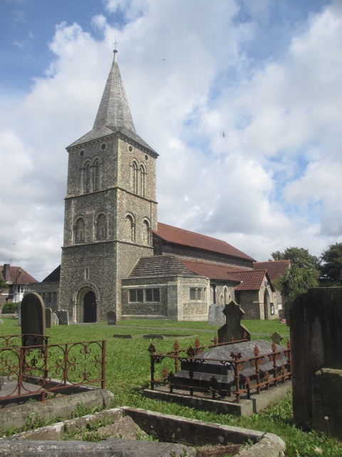
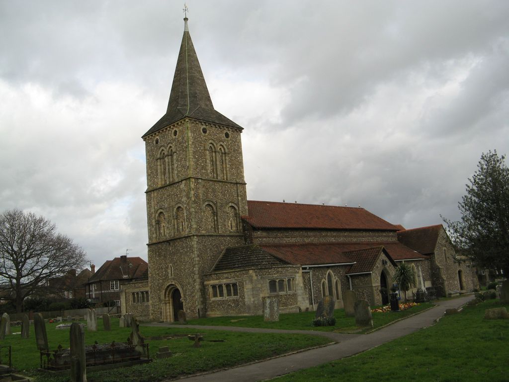
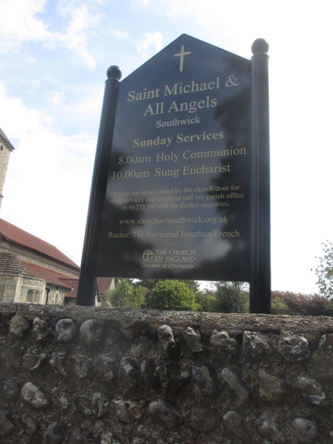
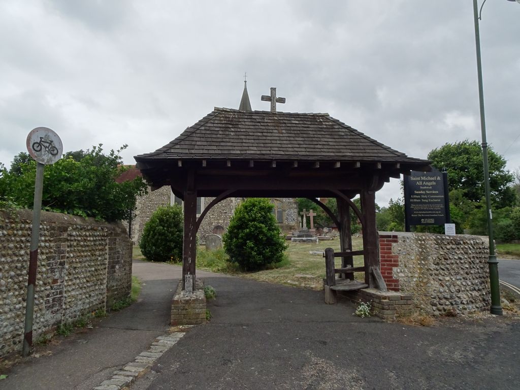
| Memorials | : | 1 |
| Location | : | Southwick, Adur District, England |
| Coordinate | : | 50.8348240, -0.2411970 |
frequently asked questions (FAQ):
-
Where is St. Michael & All Angels Churchyard?
St. Michael & All Angels Churchyard is located at Church Lane Southwick, Adur District ,West Sussex , BN42 4GDEngland.
-
St. Michael & All Angels Churchyard cemetery's updated grave count on graveviews.com?
1 memorials
-
Where are the coordinates of the St. Michael & All Angels Churchyard?
Latitude: 50.8348240
Longitude: -0.2411970


Nearby Cemetories:
1. St. Julian's Churchyard
Shoreham-by-Sea, Adur District, England
Coordinate: 50.8340600, -0.2465500
2. Southwick Cemetery
Southwick, Adur District, England
Coordinate: 50.8429050, -0.2316730
3. St. Nicolas Churchyard
Portslade, Brighton and Hove Unitary Authority, England
Coordinate: 50.8430280, -0.2181350
4. Portslade Cemetery
Portslade, Brighton and Hove Unitary Authority, England
Coordinate: 50.8358780, -0.2135400
5. Mill Lane Cemetery
Shoreham-by-Sea, Adur District, England
Coordinate: 50.8378990, -0.2783270
6. St Leonard Churchyard
Hove, Brighton and Hove Unitary Authority, England
Coordinate: 50.8329353, -0.2037728
7. St. Nicolas' Churchyard
Old Shoreham, Adur District, England
Coordinate: 50.8407940, -0.2856690
8. Hove Cemetery
Hove, Brighton and Hove Unitary Authority, England
Coordinate: 50.8383100, -0.1950460
9. Saint Helen's Churchyard
Hangleton, Brighton and Hove Unitary Authority, England
Coordinate: 50.8510910, -0.2008410
10. Bishop Hannington Memorial Church
Hove, Brighton and Hove Unitary Authority, England
Coordinate: 50.8427530, -0.1871460
11. West Blatchington St. Peter Churchyard
Hove, Brighton and Hove Unitary Authority, England
Coordinate: 50.8472720, -0.1851550
12. Landing College Chapel
Lancing, Adur District, England
Coordinate: 50.8459798, -0.3042240
13. St Andrew the Old Churchyard
Hove, Brighton and Hove Unitary Authority, England
Coordinate: 50.8285760, -0.1750850
14. All Saints Church
Hove, Brighton and Hove Unitary Authority, England
Coordinate: 50.8303800, -0.1672270
15. Coombes Churchyard
Coombes, Adur District, England
Coordinate: 50.8611730, -0.3082180
16. St. James the Less Churchyard
Lancing, Adur District, England
Coordinate: 50.8378170, -0.3226110
17. Cardinal Newman Catholic School Cemetery
Hove, Brighton and Hove Unitary Authority, England
Coordinate: 50.8369870, -0.1586370
18. St James the Less Churchyard Extension
Lancing, Adur District, England
Coordinate: 50.8367330, -0.3239250
19. Botolph Cemetery
Steyning, Horsham District, England
Coordinate: 50.8698470, -0.3051070
20. St Botolph's
Boto By, Guldborgsund Kommune, Denmark
Coordinate: 50.8704488, -0.3049848
21. St Andrew's Church
Hove, Brighton and Hove Unitary Authority, England
Coordinate: 50.8234900, -0.1569400
22. Lancing and Sompting Cemetery
Lancing, Adur District, England
Coordinate: 50.8405270, -0.3280020
23. Saint Peter's Churchyard
Preston, Brighton and Hove Unitary Authority, England
Coordinate: 50.8430580, -0.1506110
24. St. Michael's Churchyard
Brighton, Brighton and Hove Unitary Authority, England
Coordinate: 50.8274590, -0.1498000