| Memorials | : | 0 |
| Location | : | Myrtle Point, Coos County, USA |
| Coordinate | : | 43.0222783, -124.1486533 |
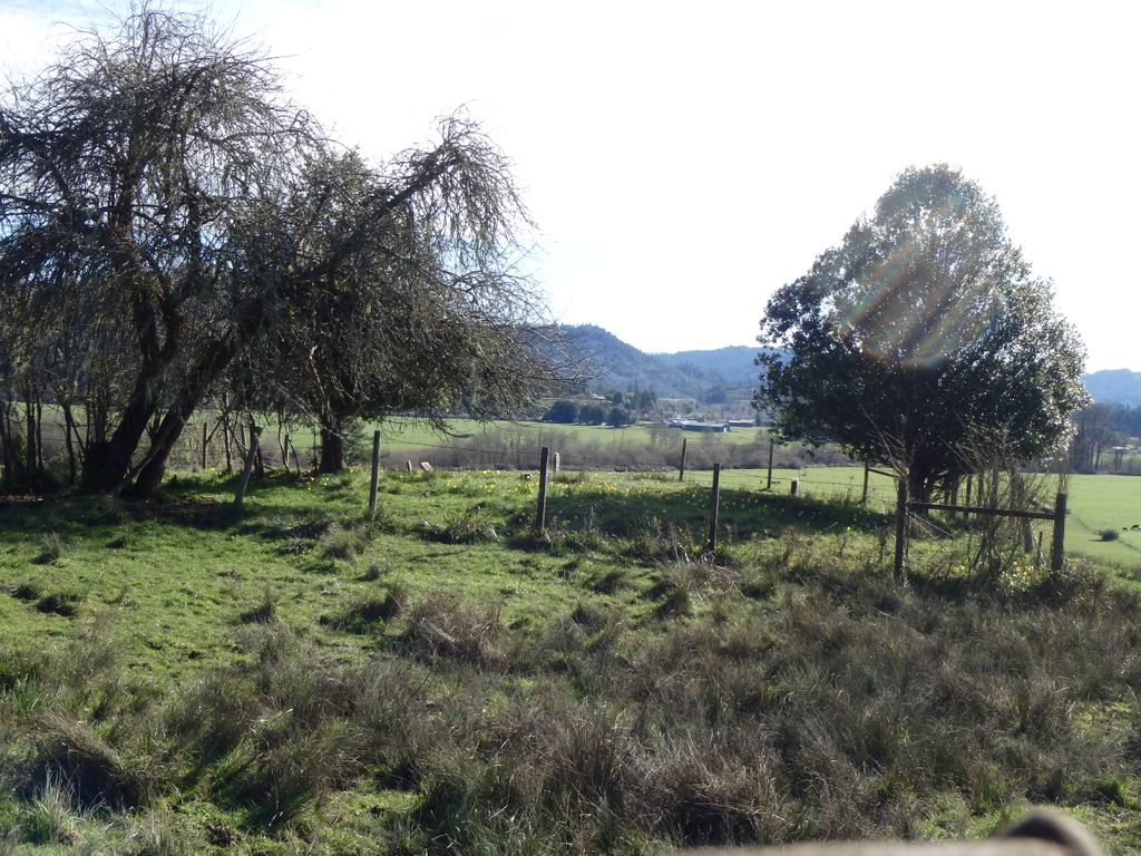
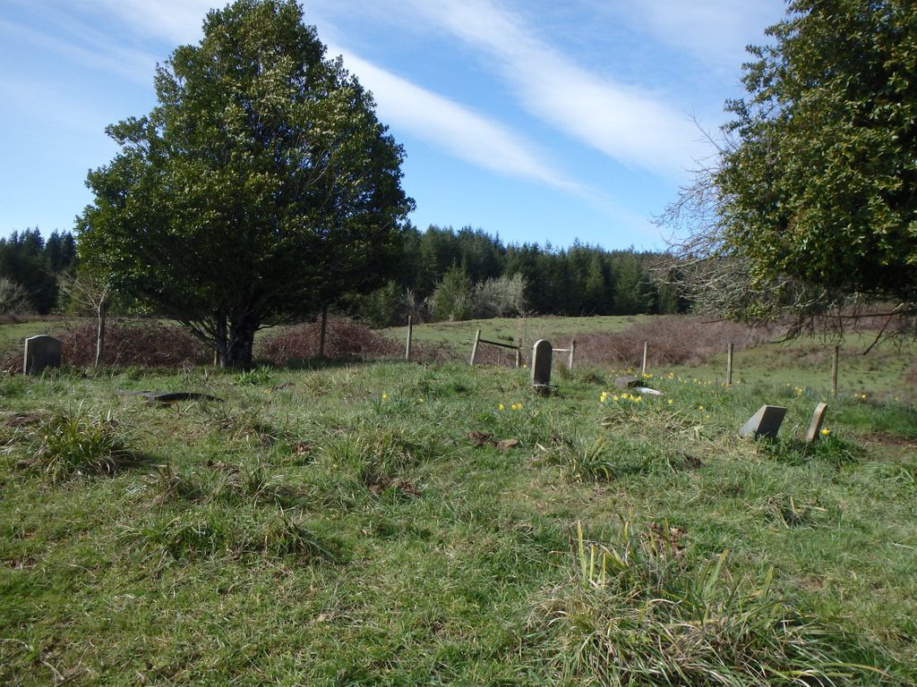
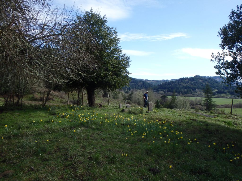
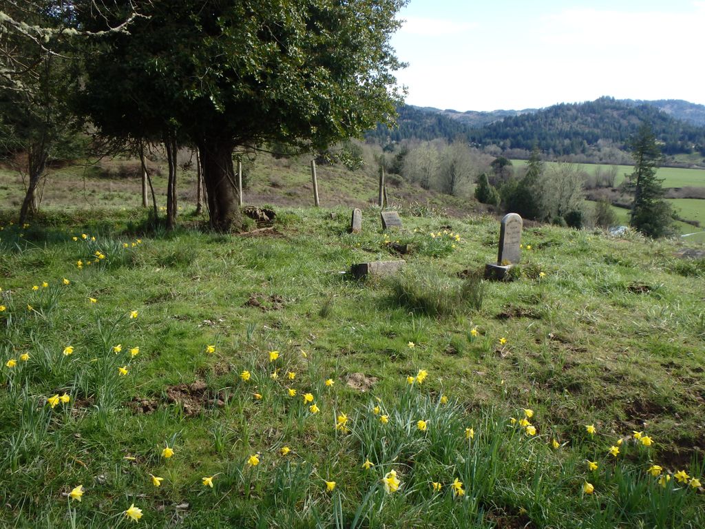
| Description | : | On the Broadbent Road, about 3.1 miles past the junction of the Catching Creek and Broadbent roads, out of Myrtle Point. The cemetery is on the right side of the road and not visible from the road. On private property. |
frequently asked questions (FAQ):
-
Where is Whittington Cemetery?
Whittington Cemetery is located at Myrtle Point, Coos County ,Oregon ,USA.
-
Whittington Cemetery cemetery's updated grave count on graveviews.com?
0 memorials
-
Where are the coordinates of the Whittington Cemetery?
Latitude: 43.0222783
Longitude: -124.1486533
Nearby Cemetories:
1. Warner Cemetery
Coos County, USA
Coordinate: 43.0250015, -124.1280975
2. Miller Cemetery
Myrtle Point, Coos County, USA
Coordinate: 43.0104600, -124.1321500
3. Hermann Family Cemetery
Broadbent, Coos County, USA
Coordinate: 43.0046997, -124.1567001
4. Hoffman Cemetery
Myrtle Point, Coos County, USA
Coordinate: 43.0402300, -124.1152400
5. Garrett Cemetery
Coos County, USA
Coordinate: 43.0405998, -124.1144028
6. Dement Cemetery
Coos County, USA
Coordinate: 42.9832993, -124.1667023
7. Brack Cemetery
Bridge, Coos County, USA
Coordinate: 43.0280991, -124.0877991
8. Myrtle Point Cemetery
Myrtle Point, Coos County, USA
Coordinate: 43.0639000, -124.1196976
9. Catching Creek Cemetery
Coos County, USA
Coordinate: 43.0080986, -124.2130966
10. Breuer Cemetery
Coos County, USA
Coordinate: 43.0194016, -124.0792007
11. Neal Cemetery
Gaylord, Coos County, USA
Coordinate: 42.9761009, -124.1138992
12. Rackleff Cemetery
Myrtle Point, Coos County, USA
Coordinate: 43.0808400, -124.1454200
13. Smalley Cemetery
Myrtle Point, Coos County, USA
Coordinate: 43.0776900, -124.2176000
14. Norway Cemetery
Norway, Coos County, USA
Coordinate: 43.1035995, -124.1552963
15. Warner Grave
Coos County, USA
Coordinate: 42.9333000, -124.1166992
16. Gravelford Pioneer Cemetery
Gravelford, Coos County, USA
Coordinate: 43.1087530, -124.0890310
17. Wise Cemetery
Coos County, USA
Coordinate: 42.9247017, -124.1164017
18. Hansen-Culbertson Cemetery
Gravelford, Coos County, USA
Coordinate: 43.1105800, -124.0721900
19. Upper Fish Trap Cemetery
Coos County, USA
Coordinate: 43.1074690, -124.2352010
20. Robison-Lower Fishtrap Cemetery
Arago, Coos County, USA
Coordinate: 43.1232986, -124.2007980
21. Myrtle Creek Cemetery
Bridge, Coos County, USA
Coordinate: 42.9696999, -124.0139008
22. Fox Bridge Cemetery
Coos County, USA
Coordinate: 43.1375008, -124.1027985
23. Enchanted Prairie Cemetery
Coos County, USA
Coordinate: 43.0189018, -123.9713974
24. Lampa Creek Cemetery
Coos County, USA
Coordinate: 43.1152992, -124.2861023


