
| Memorials | : | 59 |
| Location | : | Whittington, Lichfield District, England |
| Coordinate | : | 52.6723850, -1.7677160 |
frequently asked questions (FAQ):
-
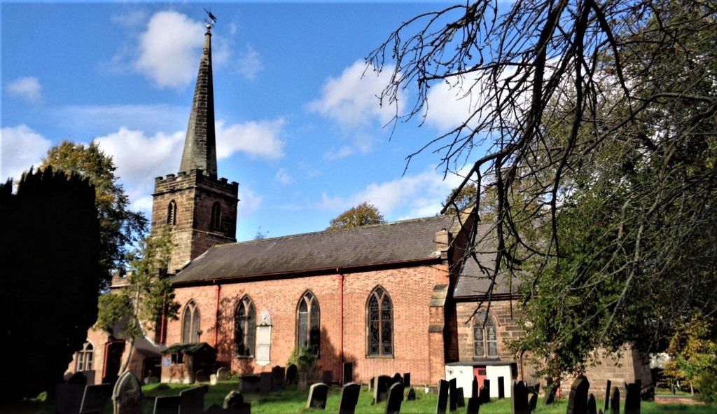
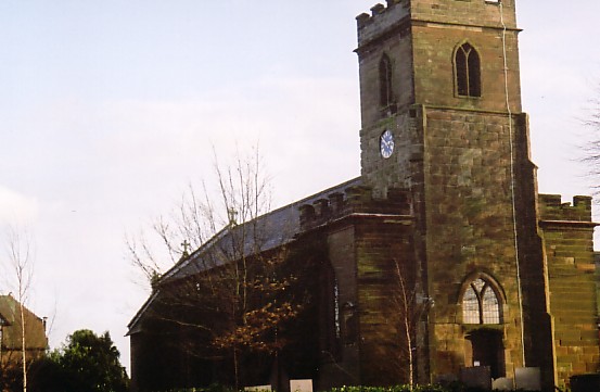
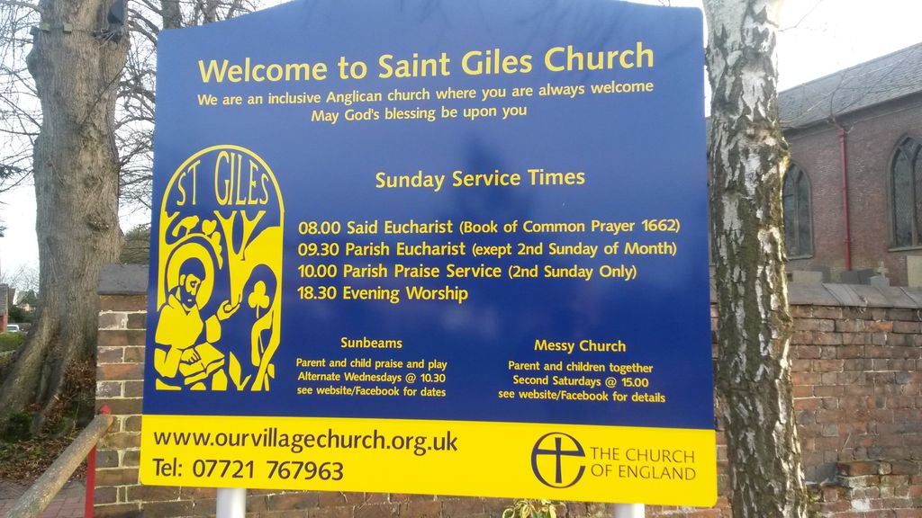
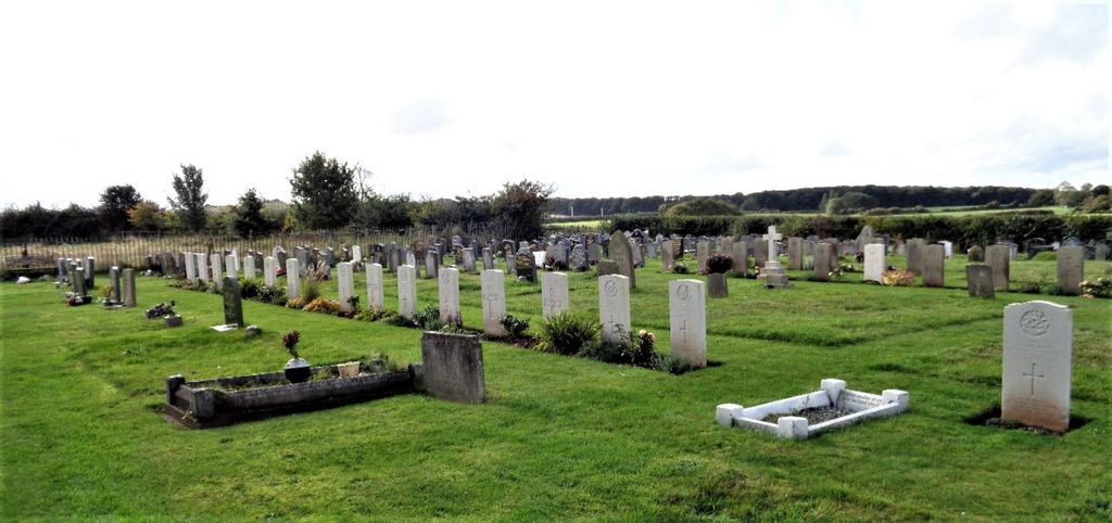
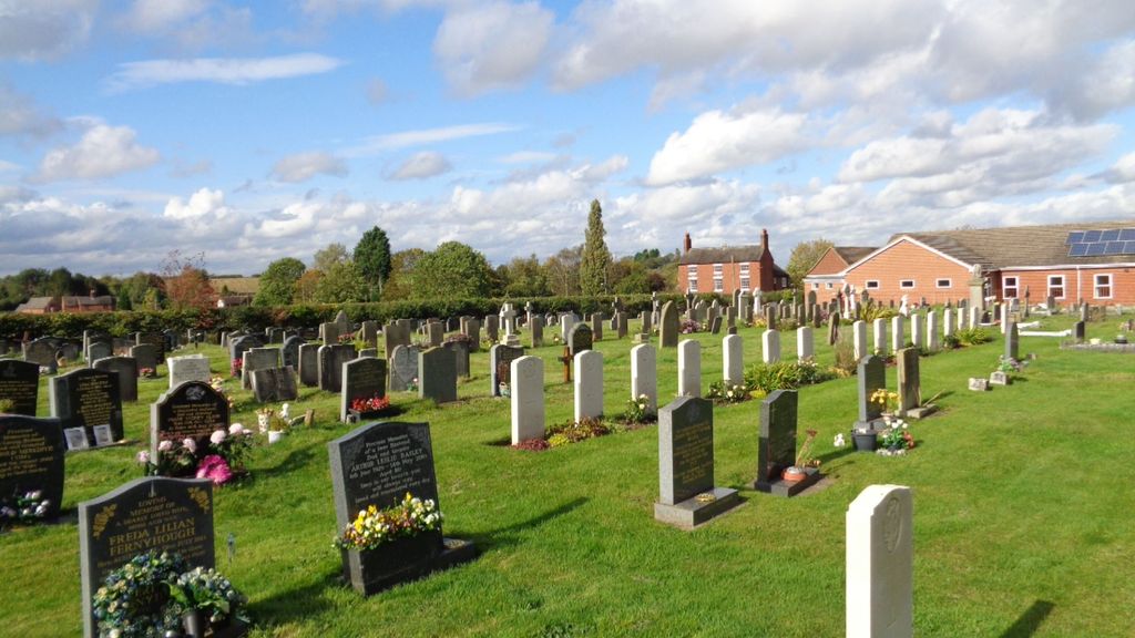
Where is St. Giles' Churchyard?
St. Giles' Churchyard is located at Whittington, Lichfield District ,Staffordshire ,England.
-
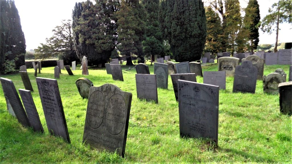
St. Giles' Churchyard cemetery's updated grave count on graveviews.com?
56 memorials
-
Where are the coordinates of the St. Giles' Churchyard?
Latitude: 52.6723850
Longitude: -1.7677160
Nearby Cemetories:
1. St Peter's Churchyard
Elford, Lichfield District, England
Coordinate: 52.6928330, -1.7274120
2. St Michael's Churchyard
Lichfield, Lichfield District, England
Coordinate: 52.6834590, -1.8182370
3. St Chad's
Tamworth Borough, England
Coordinate: 52.6433000, -1.7418000
4. Hopwas Cemetery
Tamworth, Tamworth Borough, England
Coordinate: 52.6417200, -1.7362600
5. St Chad Churchyard
Lichfield, Lichfield District, England
Coordinate: 52.6895810, -1.8209640
6. Grey Friars Churchyard
Lichfield, Lichfield District, England
Coordinate: 52.6829030, -1.8282720
7. Lichfield Cathedral
Lichfield, Lichfield District, England
Coordinate: 52.6855650, -1.8304500
8. St Mary the Virgin New Churchyard
Weeford, Lichfield District, England
Coordinate: 52.6330806, -1.7923083
9. St. Mary the Virgin Churchyard
Weeford, Lichfield District, England
Coordinate: 52.6322300, -1.7923200
10. Christ Church Churchyard
Lichfield, Lichfield District, England
Coordinate: 52.6812150, -1.8405800
11. St Leonard Churchyard
Wigginton and Hopwas, Lichfield District, England
Coordinate: 52.6704490, -1.6927530
12. Saint Stephen Churchyard
Fradley, Lichfield District, England
Coordinate: 52.7183456, -1.7686180
13. St Bartholomew Churchyard
Hints, Lichfield District, England
Coordinate: 52.6237460, -1.7683840
14. Stychbrook Cemetery
Lichfield District, England
Coordinate: 52.6998096, -1.8347392
15. Wigginton Road Cemetery
Tamworth, Tamworth Borough, England
Coordinate: 52.6479590, -1.6928170
16. St. John's Churchyard
Wall, Lichfield District, England
Coordinate: 52.6575100, -1.8553200
17. St. Matthew's churchyard
Harlaston, Lichfield District, England
Coordinate: 52.6957682, -1.6832017
18. St. Editha Churchyard
Tamworth, Tamworth Borough, England
Coordinate: 52.6344040, -1.6946000
19. National Memorial Arboretum
Alrewas, Lichfield District, England
Coordinate: 52.7274040, -1.7324890
20. Croxall, St John the Baptist Churchyard
Edingale, Lichfield District, England
Coordinate: 52.7200210, -1.7091480
21. All Saints Churchyard
Alrewas, Lichfield District, England
Coordinate: 52.7347941, -1.7530332
22. Glascote Cemetery
Glascote, Tamworth Borough, England
Coordinate: 52.6290130, -1.6774860
23. Chapel of All Saints, Statfold
Thorpe Constantine, Lichfield District, England
Coordinate: 52.6611100, -1.6510330
24. St Leonard's Church
Wychnor, East Staffordshire Borough, England
Coordinate: 52.7420071, -1.7394617