| Memorials | : | 0 |
| Location | : | Christie, Adair County, USA |
| Coordinate | : | 35.9618750, -94.6887990 |
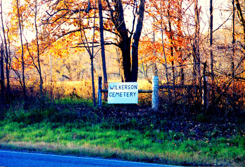
| Description | : | Located in a field across from the Christie Freewill Baptist Church. On the north side of Hwy 62, Adair County, Okla. Very little remains of this burial ground. Some of the Sanders family were said to have been buried here. (Not to be confused with the old Sanders Cemetery farther west toward Proctor). |
frequently asked questions (FAQ):
-
Where is Wilkerson Cemetery?
Wilkerson Cemetery is located at Christie, Adair County ,Oklahoma ,USA.
-
Wilkerson Cemetery cemetery's updated grave count on graveviews.com?
0 memorials
-
Where are the coordinates of the Wilkerson Cemetery?
Latitude: 35.9618750
Longitude: -94.6887990
Nearby Cemetories:
1. Whitmire Cemetery
Christie, Adair County, USA
Coordinate: 35.9463889, -94.6641667
2. Youngwolfe Cemetery
Christie, Adair County, USA
Coordinate: 35.9348090, -94.6828410
3. Chewey Cemetery
Christie, Adair County, USA
Coordinate: 35.9285710, -94.6944440
4. Ketcher Cemetery
Westville, Adair County, USA
Coordinate: 35.9911003, -94.6549988
5. Lincoln England Family Cemetery
Stilwell, Adair County, USA
Coordinate: 35.9274200, -94.6613600
6. Thornton Cemetery
Addielee, Adair County, USA
Coordinate: 35.9378100, -94.6425280
7. Scraper Cemetery
Adair County, USA
Coordinate: 35.9131012, -94.7097015
8. Old Green Cemetery
Westville, Adair County, USA
Coordinate: 35.9770000, -94.6260000
9. Knight Cemetery
Baron, Adair County, USA
Coordinate: 35.9107444, -94.6622000
10. Walkingstick Cemetery
Adair County, USA
Coordinate: 35.9108009, -94.6616974
11. Wolf Cemetery
Adair County, USA
Coordinate: 35.9166985, -94.6446991
12. Corntassel Cemetery
Westville, Adair County, USA
Coordinate: 35.9815250, -94.6213310
13. Fodder Cemetery
Westville, Adair County, USA
Coordinate: 35.9826580, -94.6159720
14. Proctor-Sanders Community Cemetery
Proctor, Adair County, USA
Coordinate: 35.9620850, -94.7696060
15. Vaughn Family Cemetery
Sanders, Adair County, USA
Coordinate: 35.9014100, -94.7261800
16. Downing Cemetery
Baron, Adair County, USA
Coordinate: 35.9271100, -94.6014100
17. Neugin Cemetery
Proctor, Adair County, USA
Coordinate: 35.9660000, -94.7887000
18. England Cemetery
Baron, Adair County, USA
Coordinate: 35.8818000, -94.6668000
19. Clyne Cemetery
Baron, Adair County, USA
Coordinate: 35.9139400, -94.6053700
20. Easky Cemetery
Baron, Adair County, USA
Coordinate: 35.9018150, -94.6183280
21. Terrell Cemetery
Adair County, USA
Coordinate: 35.8972400, -94.6231400
22. Reese Cemetery
Adair County, USA
Coordinate: 35.8861008, -94.6430969
23. Blackwood Cemetery
Stilwell, Adair County, USA
Coordinate: 35.8792000, -94.6481018
24. Ketcher Cemetery
Stilwell, Adair County, USA
Coordinate: 35.8758011, -94.6544037

