
| Memorials | : | 0 |
| Location | : | Windesheim, Zwolle Municipality, Netherlands |
| Coordinate | : | 52.4485900, 6.1307100 |
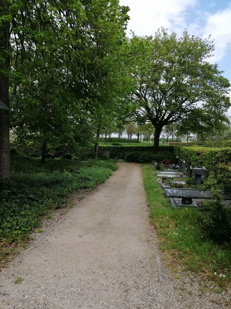
| Description | : | Windesheim, a small village in the commune of Zwollerkerspel, is 7 kilometres south of Zwolle, on the road to Deventer. The cemetery is on the northern side of Windesheim, on the western side of the road to Zwolle. |
frequently asked questions (FAQ):
-
Where is Windesheim General Cemetery?
Windesheim General Cemetery is located at Windesheim, Zwolle Municipality ,Overijssel ,Netherlands.
-
Windesheim General Cemetery cemetery's updated grave count on graveviews.com?
0 memorials
-
Where are the coordinates of the Windesheim General Cemetery?
Latitude: 52.4485900
Longitude: 6.1307100


Nearby Cemetories:
1. Joodse Begraafplaats
Hattem Municipality, Netherlands
Coordinate: 52.4696060, 6.0762350
2. Wijhe General Cemetery
Wijhe, Olst-Wijhe Municipality, Netherlands
Coordinate: 52.4009900, 6.1525800
3. Joodse Begraafplaats
Zwolle, Zwolle Municipality, Netherlands
Coordinate: 52.5107800, 6.1402900
4. Onze Lieve Vrouwe ten Hemelopneming Basilica
Zwolle, Zwolle Municipality, Netherlands
Coordinate: 52.5121050, 6.0901940
5. Zwolle Algemene Begraafplaats
Zwolle, Zwolle Municipality, Netherlands
Coordinate: 52.5179970, 6.1084200
6. Zwolle Katholieke Begraafplaats
Zwolle, Zwolle Municipality, Netherlands
Coordinate: 52.5186200, 6.1047100
7. Heerde Old General Cemetery
Heerde, Heerde Municipality, Netherlands
Coordinate: 52.3908300, 6.0354900
8. Zwolle Kranenburg Begraafplaats
Zwolle, Zwolle Municipality, Netherlands
Coordinate: 52.5307910, 6.1302850
9. Voorst General Cemetery
Zwolle, Zwolle Municipality, Netherlands
Coordinate: 52.5210700, 6.0575500
10. Zwolle Bergklooster Cemetery
Zwolle, Zwolle Municipality, Netherlands
Coordinate: 52.5338710, 6.1309080
11. Joodse Begraafplaats
Den Nul, Olst-Wijhe Municipality, Netherlands
Coordinate: 52.3590800, 6.1122400
12. Duur General Cemetery
Duur, Olst-Wijhe Municipality, Netherlands
Coordinate: 52.3577300, 6.1107300
13. Algemene Begraafplaats Ruitenborgh
Dalfsen, Dalfsen Municipality, Netherlands
Coordinate: 52.5066900, 6.2502100
14. Heerde Begraafplaats Engelmanskamp
Heerde, Heerde Municipality, Netherlands
Coordinate: 52.3890900, 6.0060200
15. Joodse Begraafplaats
Raalte Municipality, Netherlands
Coordinate: 52.3828200, 6.2677900
16. Joodse Begraafplaats
Dalfsen Municipality, Netherlands
Coordinate: 52.5173860, 6.2679170
17. Raalte General Cemetery
Raalte, Raalte Municipality, Netherlands
Coordinate: 52.3774400, 6.2703600
18. Welsum Algemene Begraafplaats
Dalfsen, Dalfsen Municipality, Netherlands
Coordinate: 52.5177100, 6.2782500
19. De Eekelenburg
Oldebroek, Oldebroek Municipality, Netherlands
Coordinate: 52.4472600, 5.9157800
20. Epe General Cemetery
Epe, Epe Municipality, Netherlands
Coordinate: 52.3473700, 5.9743200
21. Begraafplaats Van Stolkspark
Hasselt, Zwartewaterland Municipality, Netherlands
Coordinate: 52.5897916, 6.0961902
22. Joodse begraafplaats
Hasselt, Zwartewaterland Municipality, Netherlands
Coordinate: 52.5929800, 6.0923800
23. Oosterwolde General Cemetery
Oosterwolde, Oldebroek Municipality, Netherlands
Coordinate: 52.4604800, 5.8851900
24. Diepenveen General Cemetery
Diepenveen, Deventer Municipality, Netherlands
Coordinate: 52.2908500, 6.1470200