
| Memorials | : | 0 |
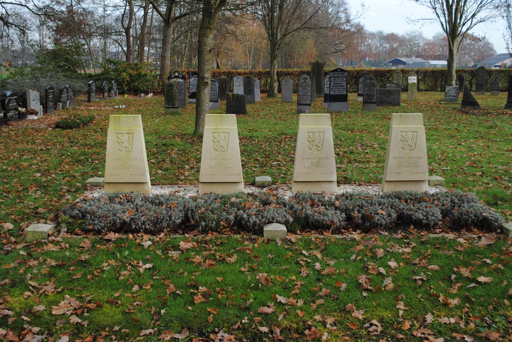
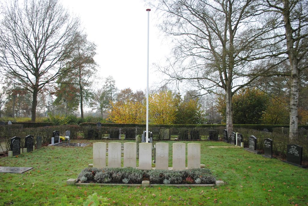
| Location | : | Oosterwolde, Oldebroek Municipality, Netherlands |
| Coordinate | : | 52.4604800, 5.8851900 |
| Description | : | The village of Oosterwolde is situated to the south-west of Zwolle off the Motorway A28. From the motorway A28, which runs between Amersfoort and Meppel, turn off at Wezep and follow the directions for Oldebroek along Zuiderzeestraatweg. Follow this road to the large crossroads on the edge of Oldebroek and at the crossroads turn right into Mheneweg Noord. Follow this road to the end and then turn left into Oostendorperstraatweg. The cemetery is along here on the right just past the village. |
frequently asked questions (FAQ):
-
Where is Oosterwolde General Cemetery?
Oosterwolde General Cemetery is located at Oosterwolde, Oldebroek Municipality ,Gelderland ,Netherlands.
-
Oosterwolde General Cemetery cemetery's updated grave count on graveviews.com?
0 memorials
-
Where are the coordinates of the Oosterwolde General Cemetery?
Latitude: 52.4604800
Longitude: 5.8851900
Nearby Cemetories:
1. De Eekelenburg
Oldebroek, Oldebroek Municipality, Netherlands
Coordinate: 52.4472600, 5.9157800
2. Joodse Begraafplaats
Elburg, Elburg Municipality, Netherlands
Coordinate: 52.4486337, 5.8378073
3. Begraafplaats Burchtstraat
Elburg, Elburg Municipality, Netherlands
Coordinate: 52.4417190, 5.8324400
4. Nunspeet New General Cemetery
Nunspeet, Nunspeet Municipality, Netherlands
Coordinate: 52.3789600, 5.7984700
5. Heerde Begraafplaats Engelmanskamp
Heerde, Heerde Municipality, Netherlands
Coordinate: 52.3890900, 6.0060200
6. Algemene begraafplaats IJsselmuiden de Zandberg
IJsselmuiden, Kampen Municipality, Netherlands
Coordinate: 52.5688100, 5.9350200
7. Joodse Begraafplaats
IJsselmuiden, Kampen Municipality, Netherlands
Coordinate: 52.5696100, 5.9342100
8. Kampen Roman Catholic Cemetery
IJsselmuiden, Kampen Municipality, Netherlands
Coordinate: 52.5705100, 5.9352400
9. Algemene begraafplaats
Dronten Municipality, Netherlands
Coordinate: 52.5272076, 5.7329484
10. Heerde Old General Cemetery
Heerde, Heerde Municipality, Netherlands
Coordinate: 52.3908300, 6.0354900
11. Joodse Begraafplaats
Hattem Municipality, Netherlands
Coordinate: 52.4696060, 6.0762350
12. Voorst General Cemetery
Zwolle, Zwolle Municipality, Netherlands
Coordinate: 52.5210700, 6.0575500
13. Grafhorst General Cemetery
Grafhorst, Kampen Municipality, Netherlands
Coordinate: 52.5782500, 5.9340800
14. Verscholen Dorp Hidden Village Memorial
Nunspeet Municipality, Netherlands
Coordinate: 52.3363600, 5.8721700
15. Epe General Cemetery
Epe, Epe Municipality, Netherlands
Coordinate: 52.3473700, 5.9743200
16. Onze Lieve Vrouwe ten Hemelopneming Basilica
Zwolle, Zwolle Municipality, Netherlands
Coordinate: 52.5121050, 6.0901940
17. Zwolle Katholieke Begraafplaats
Zwolle, Zwolle Municipality, Netherlands
Coordinate: 52.5186200, 6.1047100
18. Zwolle Algemene Begraafplaats
Zwolle, Zwolle Municipality, Netherlands
Coordinate: 52.5179970, 6.1084200
19. Windesheim General Cemetery
Windesheim, Zwolle Municipality, Netherlands
Coordinate: 52.4485900, 6.1307100
20. Joodse Begraafplaats
Zwolle, Zwolle Municipality, Netherlands
Coordinate: 52.5107800, 6.1402900
21. Zwolle Kranenburg Begraafplaats
Zwolle, Zwolle Municipality, Netherlands
Coordinate: 52.5307910, 6.1302850
22. Zwolle Bergklooster Cemetery
Zwolle, Zwolle Municipality, Netherlands
Coordinate: 52.5338710, 6.1309080
23. Joodse Begraafplaats
Den Nul, Olst-Wijhe Municipality, Netherlands
Coordinate: 52.3590800, 6.1122400
24. Duur General Cemetery
Duur, Olst-Wijhe Municipality, Netherlands
Coordinate: 52.3577300, 6.1107300