
| Memorials | : | 0 |
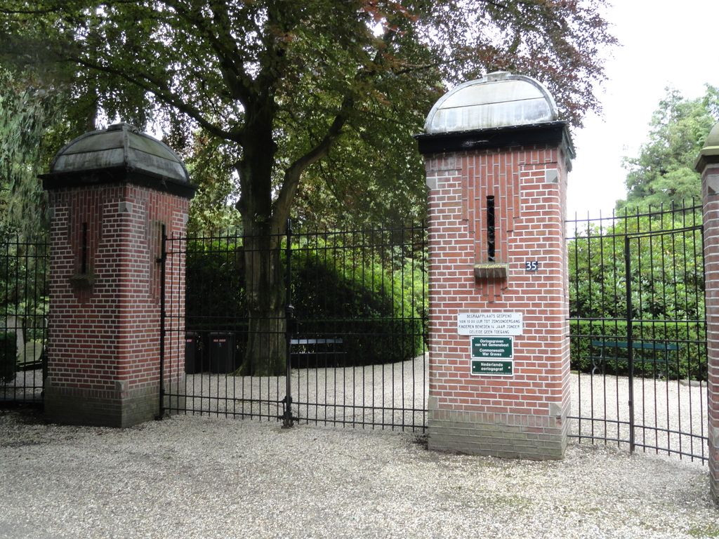
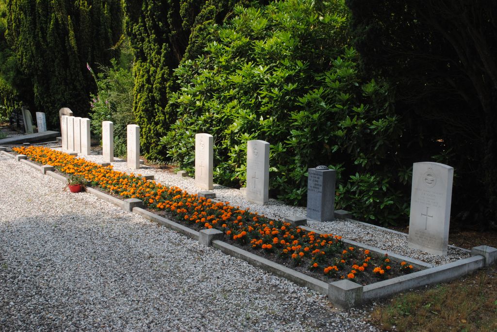
| Location | : | Heerde, Heerde Municipality, Netherlands |
| Coordinate | : | 52.3908300, 6.0354900 |
| Description | : | Heerde is a small town 18 kilometres south of Zwolle on the main Zwolle-Apeldoorn road. The cemetery is on the western outskirts of the town on the road to Oldebroek. |
frequently asked questions (FAQ):
-
Where is Heerde Old General Cemetery?
Heerde Old General Cemetery is located at Heerde, Heerde Municipality ,Gelderland ,Netherlands.
-
Heerde Old General Cemetery cemetery's updated grave count on graveviews.com?
0 memorials
-
Where are the coordinates of the Heerde Old General Cemetery?
Latitude: 52.3908300
Longitude: 6.0354900

Nearby Cemetories:
1. Heerde Begraafplaats Engelmanskamp
Heerde, Heerde Municipality, Netherlands
Coordinate: 52.3890900, 6.0060200
2. Joodse Begraafplaats
Den Nul, Olst-Wijhe Municipality, Netherlands
Coordinate: 52.3590800, 6.1122400
3. Duur General Cemetery
Duur, Olst-Wijhe Municipality, Netherlands
Coordinate: 52.3577300, 6.1107300
4. Epe General Cemetery
Epe, Epe Municipality, Netherlands
Coordinate: 52.3473700, 5.9743200
5. Wijhe General Cemetery
Wijhe, Olst-Wijhe Municipality, Netherlands
Coordinate: 52.4009900, 6.1525800
6. Windesheim General Cemetery
Windesheim, Zwolle Municipality, Netherlands
Coordinate: 52.4485900, 6.1307100
7. Joodse Begraafplaats
Hattem Municipality, Netherlands
Coordinate: 52.4696060, 6.0762350
8. De Eekelenburg
Oldebroek, Oldebroek Municipality, Netherlands
Coordinate: 52.4472600, 5.9157800
9. Nijbroek Algemene Begraafplaats
Nijbroek, Voorst Municipality, Netherlands
Coordinate: 52.2820600, 6.0598800
10. Verscholen Dorp Hidden Village Memorial
Nunspeet Municipality, Netherlands
Coordinate: 52.3363600, 5.8721700
11. Oosterwolde General Cemetery
Oosterwolde, Oldebroek Municipality, Netherlands
Coordinate: 52.4604800, 5.8851900
12. Vaassen General Cemetery
Vaassen, Epe Municipality, Netherlands
Coordinate: 52.2823600, 5.9654300
13. Diepenveen General Cemetery
Diepenveen, Deventer Municipality, Netherlands
Coordinate: 52.2908500, 6.1470200
14. Onze Lieve Vrouwe ten Hemelopneming Basilica
Zwolle, Zwolle Municipality, Netherlands
Coordinate: 52.5121050, 6.0901940
15. Voorst General Cemetery
Zwolle, Zwolle Municipality, Netherlands
Coordinate: 52.5210700, 6.0575500
16. St. Antonius RK Kerkhof
De Vecht, Voorst Municipality, Netherlands
Coordinate: 52.2582100, 6.0363300
17. Begraafplaats Wenum-Wiesel
Wenum, Apeldoorn Municipality, Netherlands
Coordinate: 52.2657500, 5.9608700
18. Joodse Begraafplaats
Elburg, Elburg Municipality, Netherlands
Coordinate: 52.4486337, 5.8378073
19. Begraafplaats Burchtstraat
Elburg, Elburg Municipality, Netherlands
Coordinate: 52.4417190, 5.8324400
20. Zwolle Katholieke Begraafplaats
Zwolle, Zwolle Municipality, Netherlands
Coordinate: 52.5186200, 6.1047100
21. Zwolle Algemene Begraafplaats
Zwolle, Zwolle Municipality, Netherlands
Coordinate: 52.5179970, 6.1084200
22. Joodse Begraafplaats
Zwolle, Zwolle Municipality, Netherlands
Coordinate: 52.5107800, 6.1402900
23. Terwolde General Cemetery
Terwolde, Voorst Municipality, Netherlands
Coordinate: 52.2589300, 6.1102400
24. Joodse Begraafplaats
Raalte Municipality, Netherlands
Coordinate: 52.3828200, 6.2677900