
| Memorials | : | 0 |
| Location | : | Wintersville, Jefferson County, USA |
| Coordinate | : | 40.3755360, -80.7064440 |
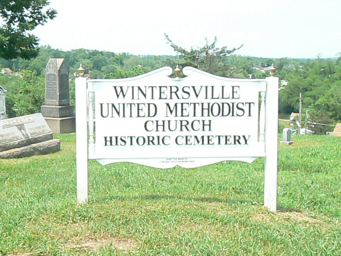
| Description | : | The cemetery is located on the south side of Cadez Road at its junction with Floyd Street. The cemetery is located in Cross Creek Township, Jefferson County, Ohio, and is # 6015 (Wintersville Methodist Cemetery) in “Ohio Cemeteries 1803-2003”, compiled by the Ohio Genealogical Society. The U.S. Geological Survey (USGS) Geographic Names Information System (GNIS) feature ID for the cemetery is 1961714 (Wintersville Methodist Cemetery). |
frequently asked questions (FAQ):
-
Where is Wintersville United Methodist Church Cemetery?
Wintersville United Methodist Church Cemetery is located at Cadiz Road Wintersville, Jefferson County ,Ohio , 43953USA.
-
Wintersville United Methodist Church Cemetery cemetery's updated grave count on graveviews.com?
0 memorials
-
Where are the coordinates of the Wintersville United Methodist Church Cemetery?
Latitude: 40.3755360
Longitude: -80.7064440
Nearby Cemetories:
1. Fort Steuben Burial Estates
Wintersville, Jefferson County, USA
Coordinate: 40.3891983, -80.7236023
2. Coulter Cemetery
Wintersville, Jefferson County, USA
Coordinate: 40.4000970, -80.7014690
3. Jefferson County Infirmary Cemetery
Steubenville, Jefferson County, USA
Coordinate: 40.3748880, -80.6725990
4. Two Ridges Cemetery
Wintersville, Jefferson County, USA
Coordinate: 40.3944016, -80.7328033
5. Cross Creek Cemetery
Wintersville, Jefferson County, USA
Coordinate: 40.3492928, -80.6872635
6. Holy Resurrection Serbian Eastern Orthodox Church
Steubenville, Jefferson County, USA
Coordinate: 40.3760986, -80.6580963
7. Bnai Israel Cemetery
Steubenville, Jefferson County, USA
Coordinate: 40.3744011, -80.6572037
8. Mount Calvary Cemetery
Steubenville, Jefferson County, USA
Coordinate: 40.3643990, -80.6466980
9. Union Cemetery
Steubenville, Jefferson County, USA
Coordinate: 40.3636017, -80.6399994
10. Center Chapel Cemetery
Island Creek Township, Jefferson County, USA
Coordinate: 40.4276600, -80.6942300
11. Carne Cemetery
Salem Township, Jefferson County, USA
Coordinate: 40.4089012, -80.7667007
12. Longs Methodist Episcopal Cemetery
Jefferson County, USA
Coordinate: 40.3203400, -80.7400100
13. Tomb of the Unborn Child
Steubenville, Jefferson County, USA
Coordinate: 40.3753230, -80.6199840
14. Saint James Episcopal Cemetery
Cross Creek Township, Jefferson County, USA
Coordinate: 40.3211700, -80.7563400
15. Quaker Cemetery
Richmond, Jefferson County, USA
Coordinate: 40.4112680, -80.7883450
16. Richmond United Presbyterian Cemetery
Salem Township, Jefferson County, USA
Coordinate: 40.4310989, -80.7680969
17. Methodist-Episcopal Cemetery
Richmond, Jefferson County, USA
Coordinate: 40.4317460, -80.7709400
18. Hill Cemetery
Steubenville, Jefferson County, USA
Coordinate: 40.3233490, -80.6353580
19. Richmond Union Cemetery
Richmond, Jefferson County, USA
Coordinate: 40.4289017, -80.7763977
20. Mount Tabor Methodist Church Cemetery
Richmond, Jefferson County, USA
Coordinate: 40.4519997, -80.7286987
21. Queen of All Saints Cemetery
Bloomingdale, Jefferson County, USA
Coordinate: 40.3841050, -80.8094450
22. Highland Hills Memorial Gardens
Follansbee, Brooke County, USA
Coordinate: 40.3579480, -80.6038500
23. Oakland Cemetery
Mingo Junction, Jefferson County, USA
Coordinate: 40.3285790, -80.6184240
24. New Alexandria Cemetery
New Alexandria, Jefferson County, USA
Coordinate: 40.2949982, -80.6781006