
| Memorials | : | 0 |
| Location | : | Sedgefield, Durham Unitary Authority, England |
| Coordinate | : | 54.6677800, -1.4471800 |
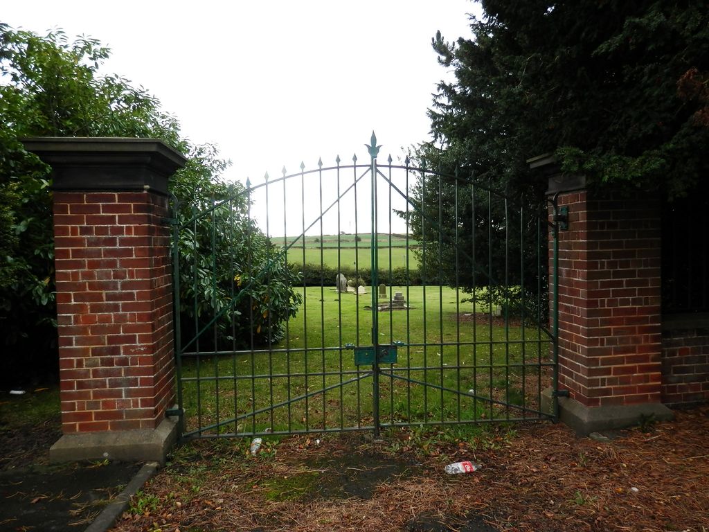
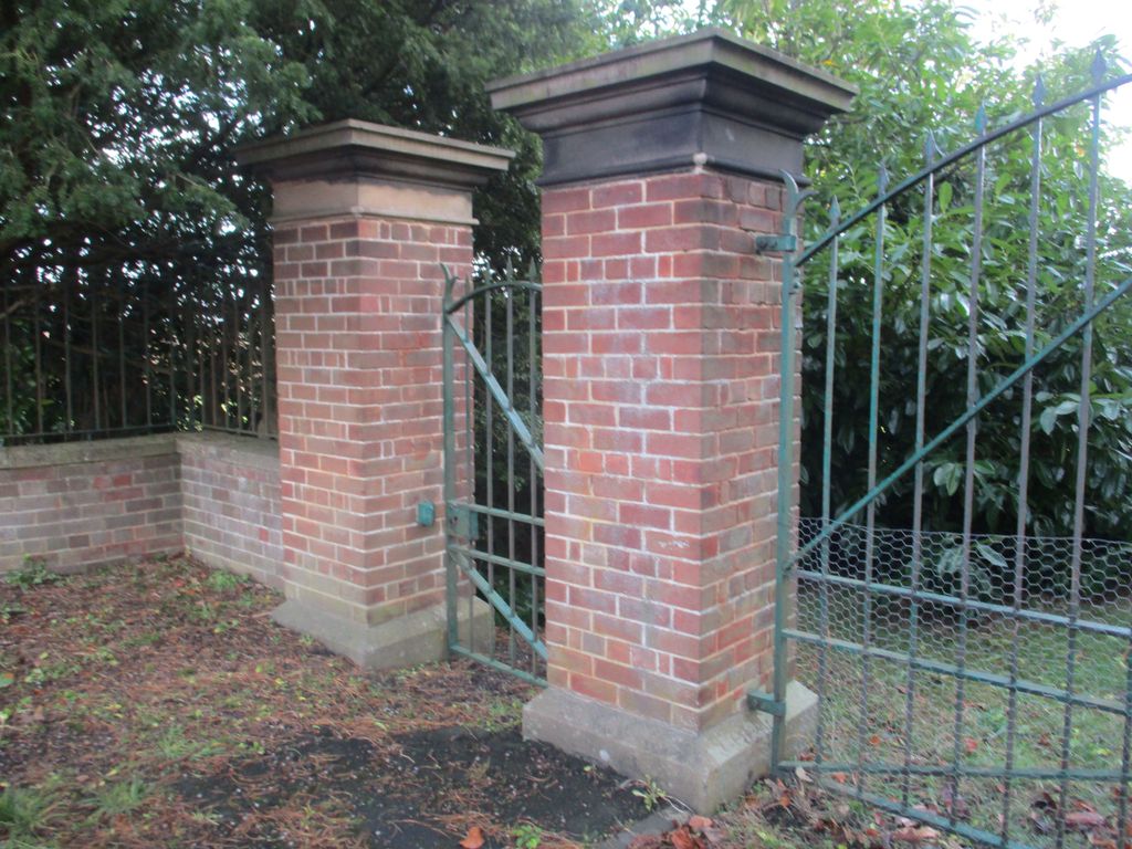
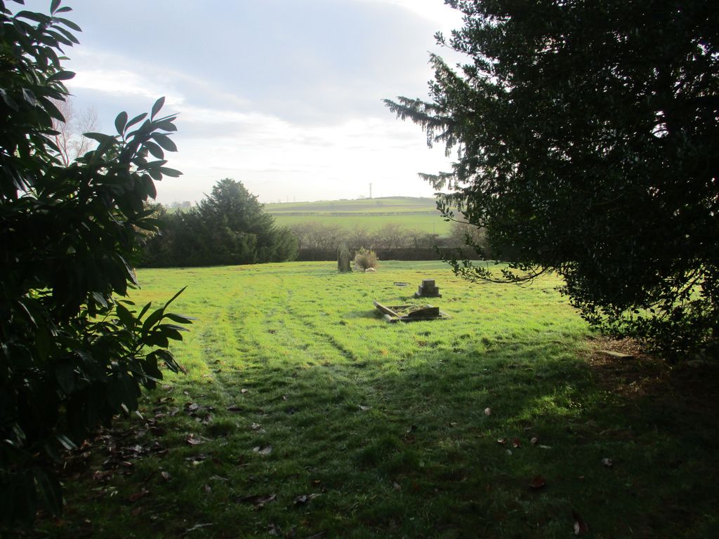
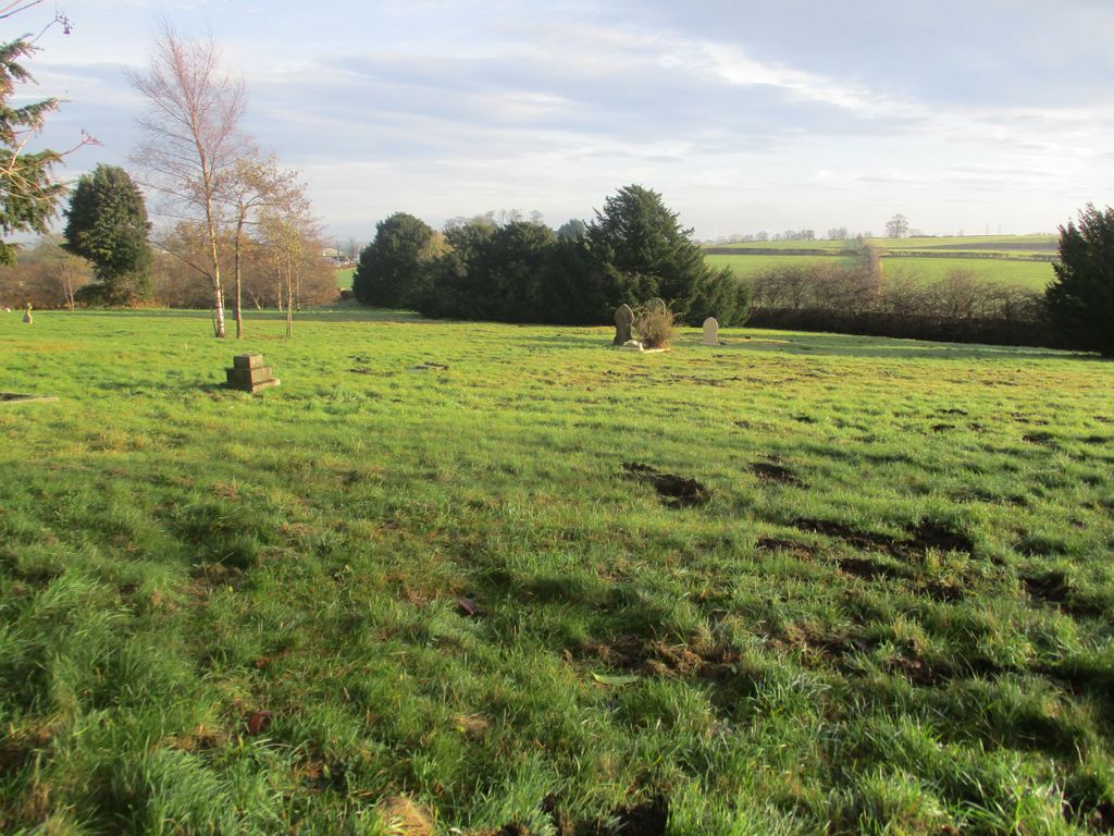
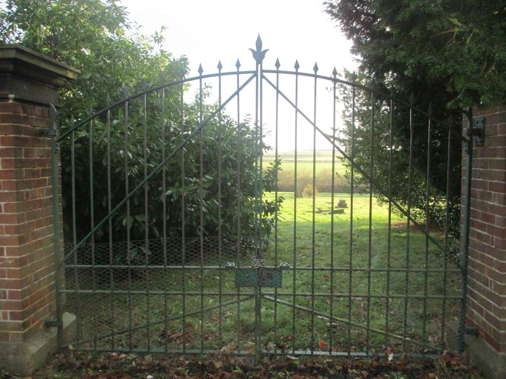
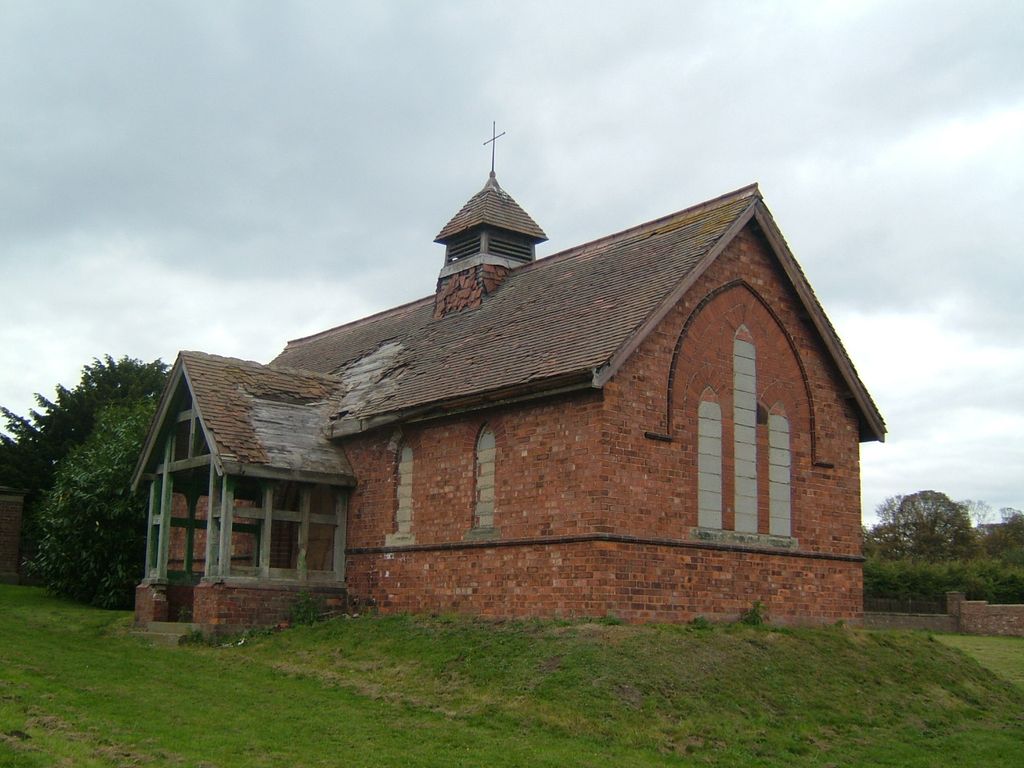
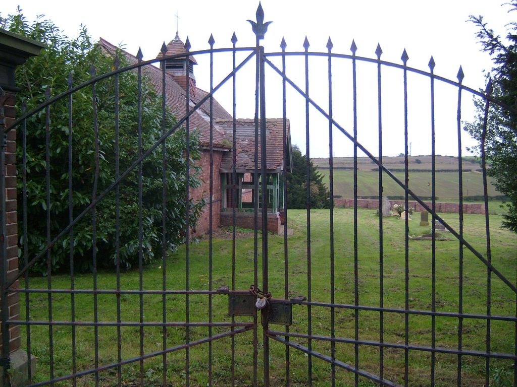
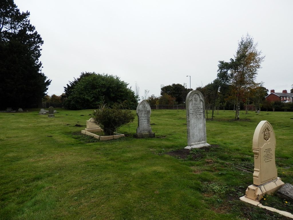
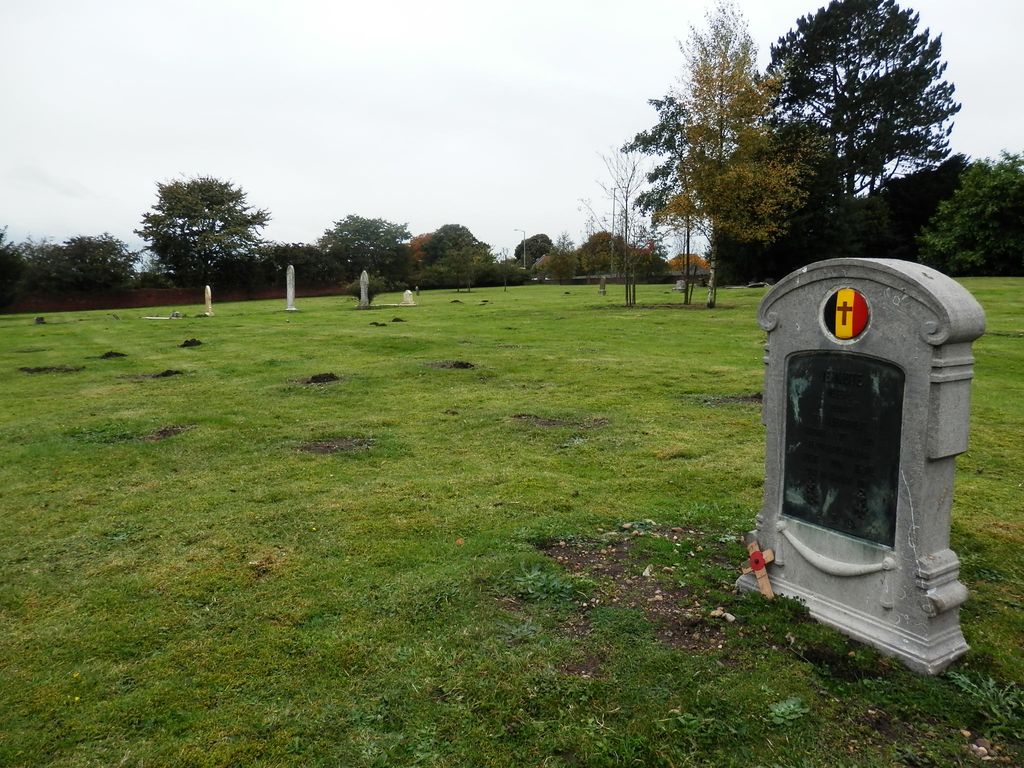
| Description | : | Winterton hospital opened as the Durham County Asylum or Sedgefield Asylum on 13 April 1858 occupying a site north of the town. Initially inmates were buried in the parish churchyard and later Beacon Lane Cemetery both of which became rapidly filled. A small cemetery was laid out to the east of the main building adjacent to farmland and staff cottages and was set aside primarily for the burial of inmates from October 1891. Since the closure of the hospital in 1996 the site has been maintained and remains accessible although few of the graves are marked by headstones. The... Read More |
frequently asked questions (FAQ):
-
Where is Winterton Hospital Cemetery?
Winterton Hospital Cemetery is located at Salters Lane, Sedgefield, County Durham Sedgefield, Durham Unitary Authority ,County Durham , TS21 3DZEngland.
-
Winterton Hospital Cemetery cemetery's updated grave count on graveviews.com?
0 memorials
-
Where are the coordinates of the Winterton Hospital Cemetery?
Latitude: 54.6677800
Longitude: -1.4471800
Nearby Cemetories:
1. Sedgefield New Cemetery
Sedgefield, Durham Unitary Authority, England
Coordinate: 54.6557900, -1.4447300
2. St Edmund Churchyard
Sedgefield, Durham Unitary Authority, England
Coordinate: 54.6532480, -1.4485160
3. Sedgefield Old Cemetery
Sedgefield, Durham Unitary Authority, England
Coordinate: 54.6527050, -1.4416632
4. Fishburn Cemetery
Fishburn, Durham Unitary Authority, England
Coordinate: 54.6847100, -1.4397300
5. Saint Michael Churchyard
Bishop Middleham, Durham Unitary Authority, England
Coordinate: 54.6754810, -1.4931890
6. Duncombe Cemetery
Ferryhill, Durham Unitary Authority, England
Coordinate: 54.6845340, -1.5337440
7. Holy Trinity Churchyard
Cornforth, Durham Unitary Authority, England
Coordinate: 54.7043960, -1.5164580
8. St Helen Churchyard
Kelloe, Durham Unitary Authority, England
Coordinate: 54.7226280, -1.4658430
9. St. Helen's Churchyard Extension
Kelloe, Durham Unitary Authority, England
Coordinate: 54.7240310, -1.4667760
10. St. Thomas a Becket Churchyard
Thorpe Thewles, Stockton-on-Tees Unitary Authority, England
Coordinate: 54.6224980, -1.3854178
11. St. Mary's Parish Churchyard
Coxhoe, Durham Unitary Authority, England
Coordinate: 54.7163790, -1.5045050
12. Chilton Cemetery
Chilton, Durham Unitary Authority, England
Coordinate: 54.6668800, -1.5559400
13. St John's Churchyard
Stillington, Stockton-on-Tees Unitary Authority, England
Coordinate: 54.6064000, -1.4173000
14. St Luke's Churchyard
Ferryhill, Durham Unitary Authority, England
Coordinate: 54.6886870, -1.5534980
15. Cornforth Roman Catholic Cemetery
Cornforth, Durham Unitary Authority, England
Coordinate: 54.7084230, -1.5392620
16. St Paul's Churchyard
Cassop-cum-Quarrington, Durham Unitary Authority, England
Coordinate: 54.7351390, -1.4816110
17. Hutton Henry Cemetery
Hutton Henry, Durham Unitary Authority, England
Coordinate: 54.7171700, -1.3607100
18. St. James' Churchyard
Thorpe Thewles, Stockton-on-Tees Unitary Authority, England
Coordinate: 54.6051920, -1.3790430
19. Bowburn Cemetery
Bowburn, Durham Unitary Authority, England
Coordinate: 54.7316700, -1.5167190
20. All Saints Churchyard
Great Stainton, Darlington Unitary Authority, England
Coordinate: 54.5936200, -1.4818800
21. St. Peter's Churchyard
Bishopton, Darlington Unitary Authority, England
Coordinate: 54.5852070, -1.4368680
22. Hutton House Roman Catholic Burial Ground
Hutton Henry, Durham Unitary Authority, England
Coordinate: 54.7217300, -1.3337000
23. Sublett Cemetery
Boom, Pickett County, USA
Coordinate: 54.7000580, -1.5847270
24. St. John the Evangelist Churchyard
Kirk Merrington, Durham Unitary Authority, England
Coordinate: 54.6771100, -1.5955800