
| Memorials | : | 0 |
| Location | : | Sedgefield, Durham Unitary Authority, England |
| Coordinate | : | 54.6557900, -1.4447300 |
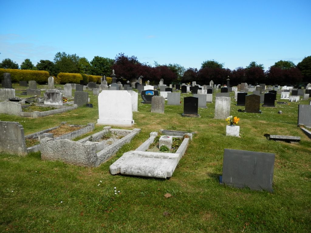
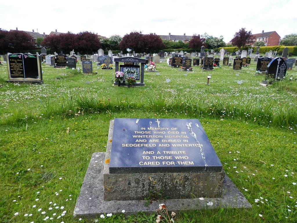
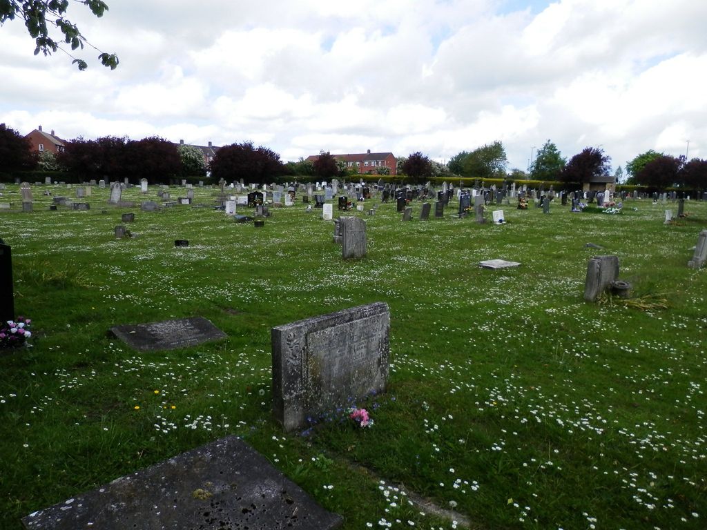
| Description | : | Now generally referred to as: SEDGEFIELD CEMETERY. This Cemetery has been used since approximately 1908. It consists of nearly 4,000 grave spaces and it replaced the old Cemeteries on Beacon Lane and St Edmunds Churchyard which were at that time fully used. The Cemetery Lodge stands in the grounds. At one time this was home to the Sexton whose job it was to dig the graves and generally maintain the grounds, as well as attending each and every burial. In addition the Sexton kept all of the Burial records and accounts. Today, however, the work is done by contractors and the... Read More |
frequently asked questions (FAQ):
-
Where is Sedgefield New Cemetery?
Sedgefield New Cemetery is located at Butterwick Road Sedgefield, Durham Unitary Authority ,County Durham ,England.
-
Sedgefield New Cemetery cemetery's updated grave count on graveviews.com?
0 memorials
-
Where are the coordinates of the Sedgefield New Cemetery?
Latitude: 54.6557900
Longitude: -1.4447300
Nearby Cemetories:
1. St Edmund Churchyard
Sedgefield, Durham Unitary Authority, England
Coordinate: 54.6532480, -1.4485160
2. Sedgefield Old Cemetery
Sedgefield, Durham Unitary Authority, England
Coordinate: 54.6527050, -1.4416632
3. Winterton Hospital Cemetery
Sedgefield, Durham Unitary Authority, England
Coordinate: 54.6677800, -1.4471800
4. Fishburn Cemetery
Fishburn, Durham Unitary Authority, England
Coordinate: 54.6847100, -1.4397300
5. Saint Michael Churchyard
Bishop Middleham, Durham Unitary Authority, England
Coordinate: 54.6754810, -1.4931890
6. St. Thomas a Becket Churchyard
Thorpe Thewles, Stockton-on-Tees Unitary Authority, England
Coordinate: 54.6224980, -1.3854178
7. St John's Churchyard
Stillington, Stockton-on-Tees Unitary Authority, England
Coordinate: 54.6064000, -1.4173000
8. Duncombe Cemetery
Ferryhill, Durham Unitary Authority, England
Coordinate: 54.6845340, -1.5337440
9. St. James' Churchyard
Thorpe Thewles, Stockton-on-Tees Unitary Authority, England
Coordinate: 54.6051920, -1.3790430
10. Holy Trinity Churchyard
Cornforth, Durham Unitary Authority, England
Coordinate: 54.7043960, -1.5164580
11. Chilton Cemetery
Chilton, Durham Unitary Authority, England
Coordinate: 54.6668800, -1.5559400
12. All Saints Churchyard
Great Stainton, Darlington Unitary Authority, England
Coordinate: 54.5936200, -1.4818800
13. St Helen Churchyard
Kelloe, Durham Unitary Authority, England
Coordinate: 54.7226280, -1.4658430
14. St. Helen's Churchyard Extension
Kelloe, Durham Unitary Authority, England
Coordinate: 54.7240310, -1.4667760
15. St. Mary's Parish Churchyard
Coxhoe, Durham Unitary Authority, England
Coordinate: 54.7163790, -1.5045050
16. St. Peter's Churchyard
Bishopton, Darlington Unitary Authority, England
Coordinate: 54.5852070, -1.4368680
17. St Luke's Churchyard
Ferryhill, Durham Unitary Authority, England
Coordinate: 54.6886870, -1.5534980
18. Saint Cuthbert's Churchyard
Redmarshall, Stockton-on-Tees Unitary Authority, England
Coordinate: 54.5840600, -1.4037700
19. Cornforth Roman Catholic Cemetery
Cornforth, Durham Unitary Authority, England
Coordinate: 54.7084230, -1.5392620
20. Hutton Henry Cemetery
Hutton Henry, Durham Unitary Authority, England
Coordinate: 54.7171700, -1.3607100
21. St Paul's Churchyard
Cassop-cum-Quarrington, Durham Unitary Authority, England
Coordinate: 54.7351390, -1.4816110
22. Bowburn Cemetery
Bowburn, Durham Unitary Authority, England
Coordinate: 54.7316700, -1.5167190
23. St Peter's Churchyard
Elwick, Hartlepool Unitary Authority, England
Coordinate: 54.6813620, -1.2982740
24. Stephenson Way Cemetery
Newton Aycliffe, Durham Unitary Authority, England
Coordinate: 54.6234700, -1.5875600