| Memorials | : | 83 |
| Location | : | Marshall Junction, Saline County, USA |
| Coordinate | : | 38.9553000, -93.2103000 |
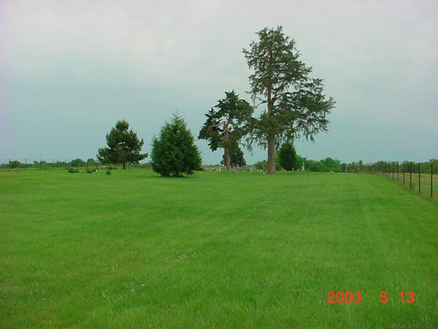
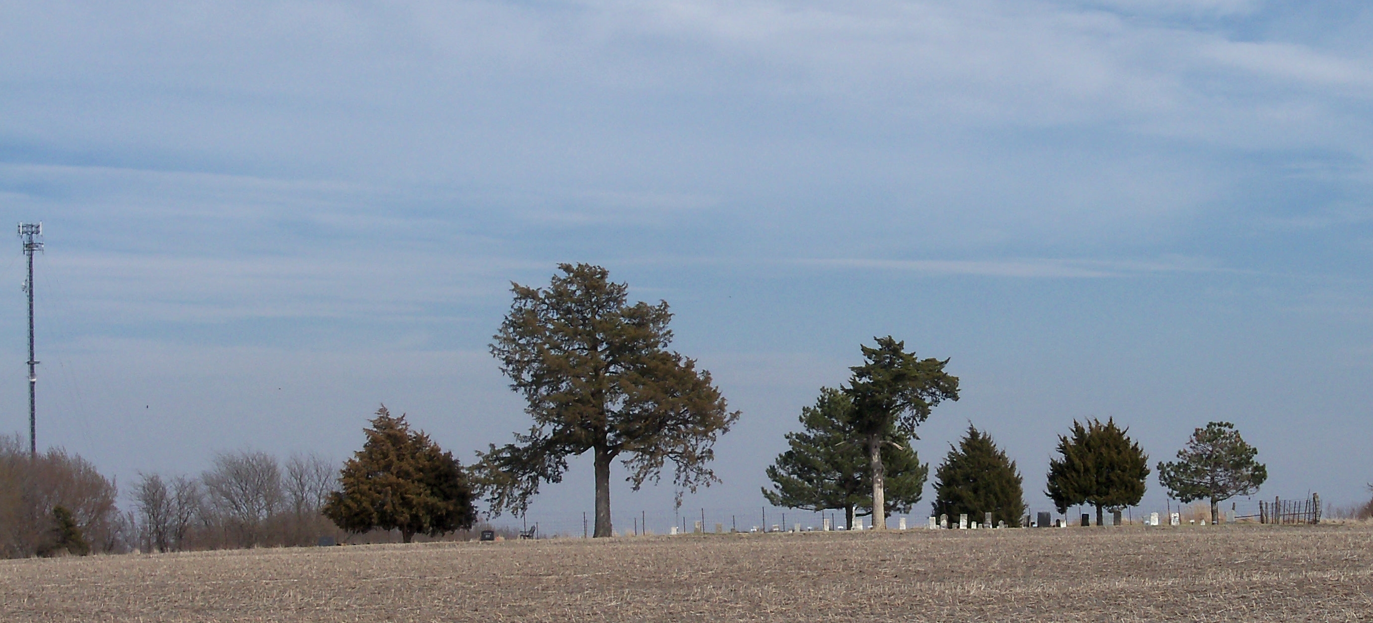
| Description | : | Witcher Family Cemetery lies southwest of Marshall Junction, an unincorporated community surrounding the cloverleaf intersection of Interstate 70 and U.S. Highway 65. The cemetery lies less than ½ mile south of I-70 and 600 feet west of the U.S. 65 right-of-way. The cemetery is located in Township 48, Range 21 W, Section 10. It is in the northeast quarter of the southwest quarter of Section 10. A pre-Civil War cemetery still in use, it is shown at that location in the 1876 Saline County plat book on land then owned by E. O. Witcher. |
frequently asked questions (FAQ):
-
Where is Witcher Family Cemetery?
Witcher Family Cemetery is located at Marshall Junction, Saline County ,Missouri ,USA.
-
Witcher Family Cemetery cemetery's updated grave count on graveviews.com?
83 memorials
-
Where are the coordinates of the Witcher Family Cemetery?
Latitude: 38.9553000
Longitude: -93.2103000
Nearby Cemetories:
1. Bethlehem Cemetery
Marshall Junction, Saline County, USA
Coordinate: 38.9369011, -93.2172012
2. Clark Cemetery
Marshall, Saline County, USA
Coordinate: 38.9716590, -93.1876550
3. Lockney Cemetery
Marshall, Saline County, USA
Coordinate: 38.9834667, -93.2174667
4. Cunningham Cemetery
Saline County, USA
Coordinate: 38.9356003, -93.1643982
5. Hunt Cemetery
Saline County, USA
Coordinate: 38.9470190, -93.1429480
6. Blue Lick Cemetery
Blue Lick, Saline County, USA
Coordinate: 39.0143220, -93.2142900
7. Finis Creek Negro Cemetery
Marshall, Saline County, USA
Coordinate: 39.0207800, -93.2142900
8. Longwood Cemetery
Longwood, Pettis County, USA
Coordinate: 38.8973800, -93.1683400
9. Raines Cemetery
Heath Creek Township, Pettis County, USA
Coordinate: 38.9269600, -93.1227000
10. Hazel Grove Cemetery
Herndon, Saline County, USA
Coordinate: 39.0079500, -93.2769660
11. Hieronymus Family Cemetery
Longwood, Pettis County, USA
Coordinate: 38.8835890, -93.1375330
12. Rose Valley Methodist Episcopal Cemetery
Sweet Springs, Saline County, USA
Coordinate: 38.9627991, -93.3277969
13. Heath Creek Cemetery
Blackwater Township, Saline County, USA
Coordinate: 38.9458535, -93.0921440
14. Jenkins Cemetery
Pettis County, USA
Coordinate: 38.8879050, -93.1270310
15. Christ Lutheran Cemetery
Sweet Springs, Saline County, USA
Coordinate: 38.9817970, -93.3272270
16. Millers Chapel Cemetery
Heath Creek Township, Pettis County, USA
Coordinate: 38.8951700, -93.1088600
17. Mount Olive Cemetery
Marshall, Saline County, USA
Coordinate: 39.0566310, -93.2100890
18. Antioch Cemetery
Saline County, USA
Coordinate: 39.0096510, -93.3205430
19. High Hill Cemetery
Pettis County, USA
Coordinate: 38.8544006, -93.2446976
20. High Point Cemetery
Hughesville, Pettis County, USA
Coordinate: 38.8549995, -93.2506027
21. Smith Chapel Methodist Church Cemetery
Marshall, Saline County, USA
Coordinate: 39.0341873, -93.1193695
22. Finley Farm Cemetery
Nelson, Saline County, USA
Coordinate: 38.9960980, -93.0789210
23. Oak Grove Cemetery
Sweet Springs, Saline County, USA
Coordinate: 38.9710999, -93.3683014
24. Memorial Presbyterian Church Cemetery
Napton, Saline County, USA
Coordinate: 39.0474740, -93.1025800


