
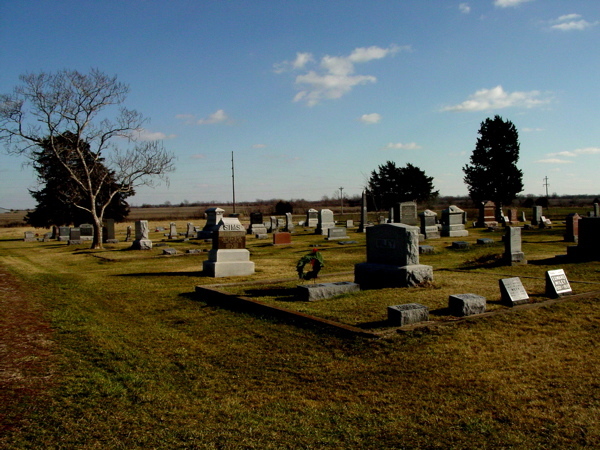
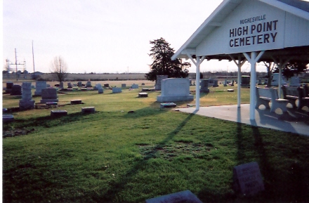
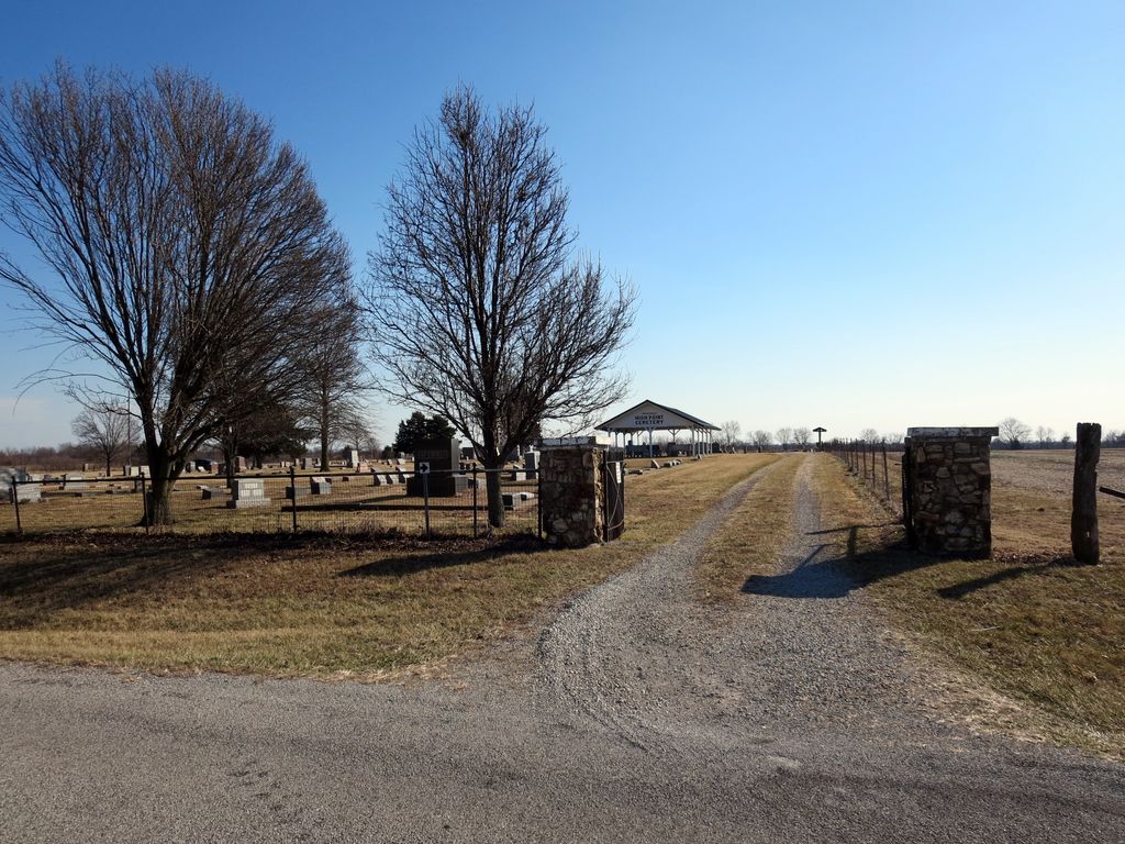
| Memorials | : | 22 |
| Location | : | Hughesville, Pettis County, USA |
| Coordinate | : | 38.8549995, -93.2506027 |
frequently asked questions (FAQ):
-
Where is High Point Cemetery?
High Point Cemetery is located at Hughesville, Pettis County ,Missouri ,USA.
-
High Point Cemetery cemetery's updated grave count on graveviews.com?
21 memorials
-
Where are the coordinates of the High Point Cemetery?
Latitude: 38.8549995
Longitude: -93.2506027
Nearby Cemetories:
1. High Hill Cemetery
Pettis County, USA
Coordinate: 38.8544006, -93.2446976
2. Forbes-Bouldin Cemetery
Hughesville, Pettis County, USA
Coordinate: 38.7956200, -93.2589500
3. Forbes-Heard Cemetery
Hughesville, Pettis County, USA
Coordinate: 38.7937100, -93.2470200
4. Longwood Cemetery
Longwood, Pettis County, USA
Coordinate: 38.8973800, -93.1683400
5. David Thomson Cemetery
Georgetown, Pettis County, USA
Coordinate: 38.7799500, -93.2723500
6. Hopewell Cemetery
Newland, Pettis County, USA
Coordinate: 38.8130989, -93.1660995
7. Mount Herman Cemetery
Cedar Township, Pettis County, USA
Coordinate: 38.7748700, -93.2198700
8. Bethlehem Cemetery
Marshall Junction, Saline County, USA
Coordinate: 38.9369011, -93.2172012
9. Ellis Cemetery
Newland, Pettis County, USA
Coordinate: 38.8366400, -93.1410500
10. Houstonia Cemetery
Houstonia, Pettis County, USA
Coordinate: 38.8941994, -93.3531036
11. Scott Cemetery
Pettis County, USA
Coordinate: 38.8293991, -93.1367035
12. Hieronymus Family Cemetery
Longwood, Pettis County, USA
Coordinate: 38.8835890, -93.1375330
13. Georgetown Cemetery
Georgetown, Pettis County, USA
Coordinate: 38.7616770, -93.2398460
14. Prairie Chapel Presbyterian Cemetery
Dresden, Pettis County, USA
Coordinate: 38.8050003, -93.3553009
15. Clopton Cemetery
Pettis County, USA
Coordinate: 38.8436012, -93.1286011
16. Jenkins Cemetery
Pettis County, USA
Coordinate: 38.8879050, -93.1270310
17. Cunningham Cemetery
Saline County, USA
Coordinate: 38.9356003, -93.1643982
18. Witcher Family Cemetery
Marshall Junction, Saline County, USA
Coordinate: 38.9553000, -93.2103000
19. Olive Branch Cemetery
Beaman, Pettis County, USA
Coordinate: 38.7792015, -93.1355972
20. Millers Chapel Cemetery
Heath Creek Township, Pettis County, USA
Coordinate: 38.8951700, -93.1088600
21. Olive Hill Amish Mennonite Cemetery
Beaman, Pettis County, USA
Coordinate: 38.7705600, -93.1413200
22. Raines Cemetery
Heath Creek Township, Pettis County, USA
Coordinate: 38.9269600, -93.1227000
23. Rose Valley Methodist Episcopal Cemetery
Sweet Springs, Saline County, USA
Coordinate: 38.9627991, -93.3277969
24. Hunt Cemetery
Saline County, USA
Coordinate: 38.9470190, -93.1429480