
| Memorials | : | 2 |
| Location | : | Woensel, Eindhoven Municipality, Netherlands |
| Coordinate | : | 51.4553100, 5.4822500 |
| Description | : | The city of Eindhoven lies in the south of the Netherlands approx 40kms to the south of s'Hertogenbosch. There are 678 war graves here. Almost four-fifths of the men buried here belonged to the air forces, and lost their lives in raids over this part of Holland or in returning from Germany, between 1941 and 1944. Men of the land forces who are buried here died between September 1944 and May 1945. The 79th and 86th British General Hospitals were located at Eindhoven during almost all that period. |
frequently asked questions (FAQ):
-
Where is Woensel General Cemetery?
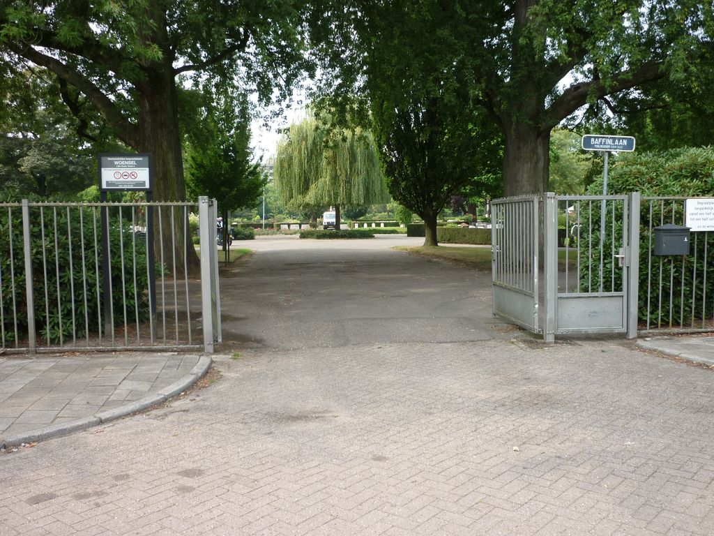
Woensel General Cemetery is located at Baffinlaan Woensel, Eindhoven Municipality ,Noord-Brabant , 5623 PKNetherlands.
-
Woensel General Cemetery cemetery's updated grave count on graveviews.com?
2 memorials
-
Where are the coordinates of the Woensel General Cemetery?
Latitude: 51.4553100
Longitude: 5.4822500


Nearby Cemetories:
1. Begraafplaats Sint Paulus
Eindhoven, Eindhoven Municipality, Netherlands
Coordinate: 51.4551800, 5.4625000
2. Joodse Begraafplaats
Eindhoven, Eindhoven Municipality, Netherlands
Coordinate: 51.4507900, 5.4577600
3. Eindhoven Sint-Catharina Cemetery
Eindhoven, Eindhoven Municipality, Netherlands
Coordinate: 51.4337600, 5.4773100
4. Begraafplaats Sint Trudo
Eindhoven Municipality, Netherlands
Coordinate: 51.4408198, 5.4546763
5. Sint Joris Cemetery
Stratum, Eindhoven Municipality, Netherlands
Coordinate: 51.4311800, 5.4912100
6. Joodse Begraafplaats Grote Beek
Eindhoven Municipality, Netherlands
Coordinate: 51.4693300, 5.4443700
7. Sint-Severinuskerkhof
Eindhoven, Eindhoven Municipality, Netherlands
Coordinate: 51.4176300, 5.4495100
8. Nuenen Sint Clemens Roman Catholic Cemetery
Nuenen, Nuenen, Gerwen en Nederwetten Municipality, Netherlands
Coordinate: 51.4732800, 5.5508100
9. Stratum Roostenhof Cemetery
Stratum, Eindhoven Municipality, Netherlands
Coordinate: 51.4092500, 5.4962800
10. Nuenen Oude Toren Begraafplaats
Nuenen, Nuenen, Gerwen en Nederwetten Municipality, Netherlands
Coordinate: 51.4719100, 5.5572500
11. Mierlo War Cemetery
Mierlo, Geldrop-Mierlo Municipality, Netherlands
Coordinate: 51.4356200, 5.5913500
12. Veldhoven Begraafplaats Hoge Boght
Veldhoven, Veldhoven Municipality, Netherlands
Coordinate: 51.4116700, 5.3683800
13. Stiphout Churchyard
Stiphout, Helmond Municipality, Netherlands
Coordinate: 51.4858437, 5.6170421
14. Lieshout Begraafplaats
Lieshout, Laarbeek Municipality, Netherlands
Coordinate: 51.5184300, 5.5936500
15. Sint-Lucia Rooms-Katholieke Begraafplaats
Mierlo-Hout, Helmond Municipality, Netherlands
Coordinate: 51.4669500, 5.6329900
16. Heeze Catholic Cemetery
Heeze, Heeze-Leende Municipality, Netherlands
Coordinate: 51.3777900, 5.5755100
17. Mariahout Roman Catholic Churchyard
Mariahout, Laarbeek Municipality, Netherlands
Coordinate: 51.5396100, 5.5720200
18. Valkenswaard Oude Katholieke Begraafplaats
Valkenswaard, Valkenswaard Municipality, Netherlands
Coordinate: 51.3531900, 5.4547700
19. Sint-Oedenrode Roman Catholic Churchyard
Sint-Oedenrode, Sint-Oedenrode Municipality, Netherlands
Coordinate: 51.5629900, 5.4611600
20. Aarle-Rixtel kerkhof
Aarle-Rixtel, Laarbeek Municipality, Netherlands
Coordinate: 51.5102394, 5.6384168
21. Oude Joodse Begraafplaats
Oirschot Municipality, Netherlands
Coordinate: 51.4956170, 5.3138480
22. Rooms Katholieke begraafplaats
Helmond, Helmond Municipality, Netherlands
Coordinate: 51.4782400, 5.6680400
23. Cemetery de Eikenhof
Valkenswaard Municipality, Netherlands
Coordinate: 51.3369161, 5.4559452
24. Sterksel Monastery Cemetery
Sterksel, Heeze-Leende Municipality, Netherlands
Coordinate: 51.3570900, 5.6228800