
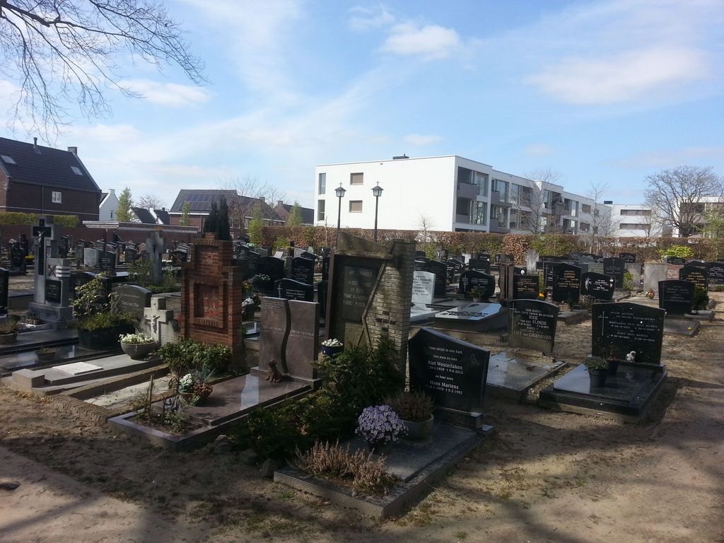
| Memorials | : | 0 |
| Location | : | Aarle-Rixtel, Laarbeek Municipality, Netherlands |
| Coordinate | : | 51.5102394, 5.6384168 |
| Description | : | Next to the church |
frequently asked questions (FAQ):
-
Where is Aarle-Rixtel kerkhof?
Aarle-Rixtel kerkhof is located at Dorpsstraat 3 Aarle-Rixtel, Laarbeek Municipality ,Noord-Brabant , 5735 EANetherlands.
-
Aarle-Rixtel kerkhof cemetery's updated grave count on graveviews.com?
0 memorials
-
Where are the coordinates of the Aarle-Rixtel kerkhof?
Latitude: 51.5102394
Longitude: 5.6384168

Nearby Cemetories:
1. Begraafplaats Missieklooster Heilig Bloed
Aarle-Rixtel, Laarbeek Municipality, Netherlands
Coordinate: 51.5258926, 5.6629537
2. Stiphout Churchyard
Stiphout, Helmond Municipality, Netherlands
Coordinate: 51.4858437, 5.6170421
3. Lieshout Begraafplaats
Lieshout, Laarbeek Municipality, Netherlands
Coordinate: 51.5184300, 5.5936500
4. Rooms Katholieke begraafplaats
Helmond, Helmond Municipality, Netherlands
Coordinate: 51.4782400, 5.6680400
5. Sint-Lucia Rooms-Katholieke Begraafplaats
Mierlo-Hout, Helmond Municipality, Netherlands
Coordinate: 51.4669500, 5.6329900
6. Mariahout Roman Catholic Churchyard
Mariahout, Laarbeek Municipality, Netherlands
Coordinate: 51.5396100, 5.5720200
7. Gemert War Memorial Grave
Gemert, Gemert-Bakel Municipality, Netherlands
Coordinate: 51.5538200, 5.6821400
8. Nuenen Oude Toren Begraafplaats
Nuenen, Nuenen, Gerwen en Nederwetten Municipality, Netherlands
Coordinate: 51.4719100, 5.5572500
9. Nuenen Sint Clemens Roman Catholic Cemetery
Nuenen, Nuenen, Gerwen en Nederwetten Municipality, Netherlands
Coordinate: 51.4732800, 5.5508100
10. Mierlo War Cemetery
Mierlo, Geldrop-Mierlo Municipality, Netherlands
Coordinate: 51.4356200, 5.5913500
11. Erp Roman Catholic Cemetery
Erp, Veghel Municipality, Netherlands
Coordinate: 51.5986800, 5.6056100
12. Joodse Begraafplaats
Deurne Municipality, Netherlands
Coordinate: 51.4637800, 5.7928100
13. Woensel General Cemetery
Woensel, Eindhoven Municipality, Netherlands
Coordinate: 51.4553100, 5.4822500
14. Sint Joris Cemetery
Stratum, Eindhoven Municipality, Netherlands
Coordinate: 51.4311800, 5.4912100
15. Heilig Hart van Jesus Kerk, Fransiscusparochie
Veghel Municipality, Netherlands
Coordinate: 51.6143569, 5.5389391
16. Sint-Oedenrode Roman Catholic Churchyard
Sint-Oedenrode, Sint-Oedenrode Municipality, Netherlands
Coordinate: 51.5629900, 5.4611600
17. Begraafplaats Sint Paulus
Eindhoven, Eindhoven Municipality, Netherlands
Coordinate: 51.4551800, 5.4625000
18. Veghel Roman Catholic Churchyard
Veghel, Veghel Municipality, Netherlands
Coordinate: 51.6183100, 5.5424300
19. Eindhoven Sint-Catharina Cemetery
Eindhoven, Eindhoven Municipality, Netherlands
Coordinate: 51.4337600, 5.4773100
20. Joodse Begraafplaats
Eindhoven, Eindhoven Municipality, Netherlands
Coordinate: 51.4507900, 5.4577600
21. Joodse Begraafplaats Grote Beek
Eindhoven Municipality, Netherlands
Coordinate: 51.4693300, 5.4443700
22. Eerde Roman Catholic Churchyard
Eerde, Veghel Municipality, Netherlands
Coordinate: 51.6053300, 5.4982100
23. Begraafplaats Sint Trudo
Eindhoven Municipality, Netherlands
Coordinate: 51.4408198, 5.4546763
24. Stratum Roostenhof Cemetery
Stratum, Eindhoven Municipality, Netherlands
Coordinate: 51.4092500, 5.4962800