
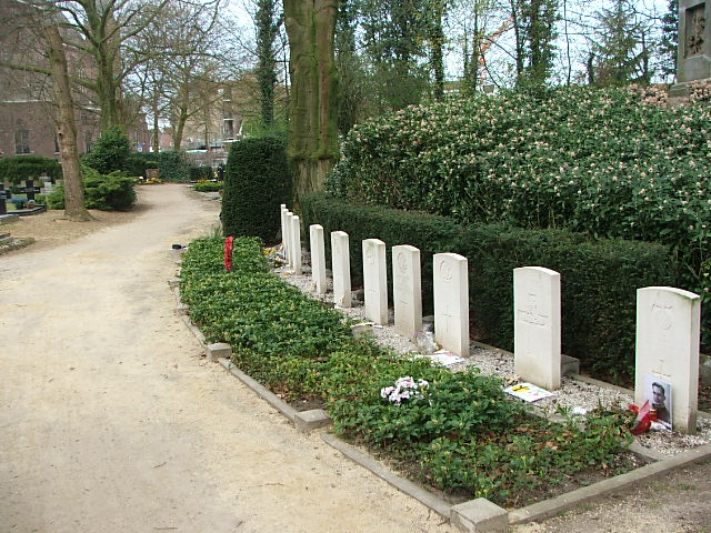
| Memorials | : | 0 |
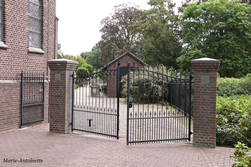
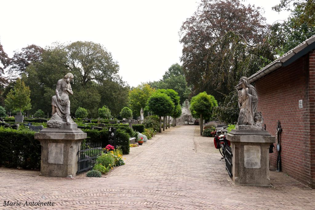
| Location | : | Sint-Oedenrode, Sint-Oedenrode Municipality, Netherlands |
| Coordinate | : | 51.5629900, 5.4611600 |
frequently asked questions (FAQ):
-
Where is Sint-Oedenrode Roman Catholic Churchyard?
Sint-Oedenrode Roman Catholic Churchyard is located at Sint-Oedenrode, Sint-Oedenrode Municipality ,Noord-Brabant ,Netherlands.
-
Sint-Oedenrode Roman Catholic Churchyard cemetery's updated grave count on graveviews.com?
0 memorials
-
Where are the coordinates of the Sint-Oedenrode Roman Catholic Churchyard?
Latitude: 51.5629900
Longitude: 5.4611600
Nearby Cemetories:
1. Eerde Roman Catholic Churchyard
Eerde, Veghel Municipality, Netherlands
Coordinate: 51.6053300, 5.4982100
2. Joodse Begraafplaats
Schijndel Municipality, Netherlands
Coordinate: 51.6110200, 5.4535900
3. Wijbosch Zusters van Liefde Schijndel
Wijbosch, Schijndel Municipality, Netherlands
Coordinate: 51.6167377, 5.4654452
4. Heilig Hart van Jesus Kerk, Fransiscusparochie
Veghel Municipality, Netherlands
Coordinate: 51.6143569, 5.5389391
5. Mariahout Roman Catholic Churchyard
Mariahout, Laarbeek Municipality, Netherlands
Coordinate: 51.5396100, 5.5720200
6. Veghel Roman Catholic Churchyard
Veghel, Veghel Municipality, Netherlands
Coordinate: 51.6183100, 5.5424300
7. Lieshout Begraafplaats
Lieshout, Laarbeek Municipality, Netherlands
Coordinate: 51.5184300, 5.5936500
8. Boxtel Roman Catholic Church Cemetery
Boxtel, Boxtel Municipality, Netherlands
Coordinate: 51.5896100, 5.3164800
9. Joodse Begraafplaats Grote Beek
Eindhoven Municipality, Netherlands
Coordinate: 51.4693300, 5.4443700
10. Erp Roman Catholic Cemetery
Erp, Veghel Municipality, Netherlands
Coordinate: 51.5986800, 5.6056100
11. Sint-Michielsgestel Catholic & Protestant Cemetery
Sint-Michielsgestel, Sint-Michielsgestel Municipality, Netherlands
Coordinate: 51.6425300, 5.3527600
12. Nuenen Sint Clemens Roman Catholic Cemetery
Nuenen, Nuenen, Gerwen en Nederwetten Municipality, Netherlands
Coordinate: 51.4732800, 5.5508100
13. Begraafplaats Sint Paulus
Eindhoven, Eindhoven Municipality, Netherlands
Coordinate: 51.4551800, 5.4625000
14. Woensel General Cemetery
Woensel, Eindhoven Municipality, Netherlands
Coordinate: 51.4553100, 5.4822500
15. Nuenen Oude Toren Begraafplaats
Nuenen, Nuenen, Gerwen en Nederwetten Municipality, Netherlands
Coordinate: 51.4719100, 5.5572500
16. Joodse Begraafplaats
Eindhoven, Eindhoven Municipality, Netherlands
Coordinate: 51.4507900, 5.4577600
17. Oude Joodse Begraafplaats
Oirschot Municipality, Netherlands
Coordinate: 51.4956170, 5.3138480
18. Aarle-Rixtel kerkhof
Aarle-Rixtel, Laarbeek Municipality, Netherlands
Coordinate: 51.5102394, 5.6384168
19. Begraafplaats Sint Trudo
Eindhoven Municipality, Netherlands
Coordinate: 51.4408198, 5.4546763
20. Stiphout Churchyard
Stiphout, Helmond Municipality, Netherlands
Coordinate: 51.4858437, 5.6170421
21. Eindhoven Sint-Catharina Cemetery
Eindhoven, Eindhoven Municipality, Netherlands
Coordinate: 51.4337600, 5.4773100
22. Begraafplaats Missieklooster Heilig Bloed
Aarle-Rixtel, Laarbeek Municipality, Netherlands
Coordinate: 51.5258926, 5.6629537
23. Sint Joris Cemetery
Stratum, Eindhoven Municipality, Netherlands
Coordinate: 51.4311800, 5.4912100
24. Uden War Cemetery
Uden, Uden Municipality, Netherlands
Coordinate: 51.6638800, 5.6118500