
| Memorials | : | 0 |
| Location | : | RoEllen, Dyer County, USA |
| Coordinate | : | 36.0101620, -89.3177740 |
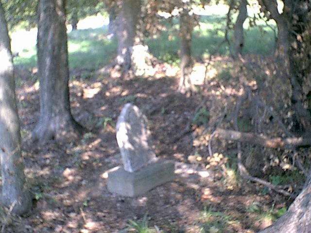
| Description | : | From the intersection of TN-104 E & US-412, east of Dyersburg, travel east on TN-401 E for 0.7 mi.; turning south (right) onto Viar Rd., going 0.8 mi.; turning south (right) onto Bishop Rd., going 0.6 mi.; turning east (left) onto Seratt Rd. Park, then walk northeast across a cultivated field for about 1300 ft., entering a wooded area & to the location of this small cemetery, which is reported to be to the north side of the Viar Cemetery. |
frequently asked questions (FAQ):
-
Where is Wood Cemetery?
Wood Cemetery is located at 450 Bishop Rd RoEllen, Dyer County ,Tennessee ,USA.
-
Wood Cemetery cemetery's updated grave count on graveviews.com?
0 memorials
-
Where are the coordinates of the Wood Cemetery?
Latitude: 36.0101620
Longitude: -89.3177740
Nearby Cemetories:
1. Viar Cemetery
RoEllen, Dyer County, USA
Coordinate: 36.0101620, -89.3177740
2. Reynolds Cemetery
RoEllen, Dyer County, USA
Coordinate: 36.0139240, -89.3071170
3. Pierce Cemetery
RoEllen, Dyer County, USA
Coordinate: 36.0305556, -89.3002778
4. Parker Cemetery
RoEllen, Dyer County, USA
Coordinate: 36.0018100, -89.2845300
5. RoEllen Cemetery
RoEllen, Dyer County, USA
Coordinate: 36.0277660, -89.2795420
6. Walker Cemetery
RoEllen, Dyer County, USA
Coordinate: 36.0440510, -89.3011120
7. Fowlkes Cemetery
Dyersburg, Dyer County, USA
Coordinate: 36.0303100, -89.3578170
8. Hodge Cemetery
Dyersburg, Dyer County, USA
Coordinate: 35.9836620, -89.3532490
9. Sorrell Chapel Cemetery
Bonicord, Dyer County, USA
Coordinate: 35.9772470, -89.3458570
10. Clay Cemetery
Fowlkes, Dyer County, USA
Coordinate: 35.9760780, -89.3453920
11. Memorial Park Cemetery
Dyersburg, Dyer County, USA
Coordinate: 36.0358009, -89.3581009
12. Prichard Family Cemetery
RoEllen, Dyer County, USA
Coordinate: 36.0104400, -89.2651020
13. Smith Family Cemetery
RoEllen, Dyer County, USA
Coordinate: 36.0411910, -89.2786710
14. Sawyer Cemetery
Newbern, Dyer County, USA
Coordinate: 36.0549210, -89.3092660
15. Rogers Cemetery
RoEllen, Dyer County, USA
Coordinate: 36.0069000, -89.2618000
16. Wilkins Cemetery
Tatumville, Dyer County, USA
Coordinate: 36.0387700, -89.2653800
17. Shaw Cemetery (Defunct)
Dyersburg, Dyer County, USA
Coordinate: 36.0470570, -89.3618540
18. Dyersburg City Cemetery
Dyersburg, Dyer County, USA
Coordinate: 36.0312996, -89.3786011
19. Clark Cemetery
Dyersburg, Dyer County, USA
Coordinate: 36.0462440, -89.3671680
20. Pate Family Cemetery
Bonicord, Dyer County, USA
Coordinate: 35.9575110, -89.3389720
21. Rehoboth Cemetery
RoEllen, Dyer County, USA
Coordinate: 36.0300700, -89.2530700
22. Fairview Cemetery
Dyersburg, Dyer County, USA
Coordinate: 36.0455580, -89.3715060
23. Bell-Walker Cemetery
Tigrett, Dyer County, USA
Coordinate: 35.9581400, -89.2913360
24. Rehoboth Church Cemetery
RoEllen, Dyer County, USA
Coordinate: 36.0306720, -89.2527870