
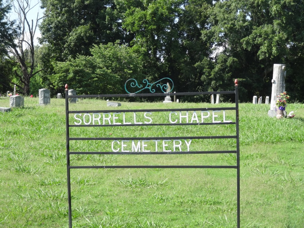
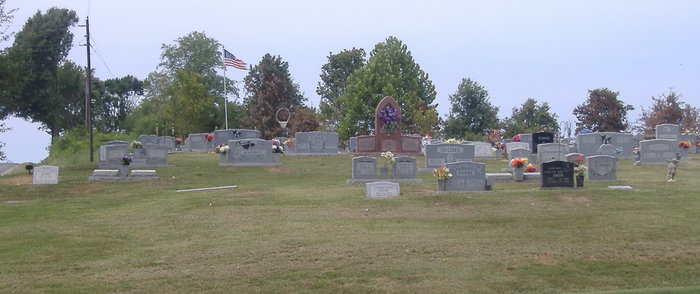
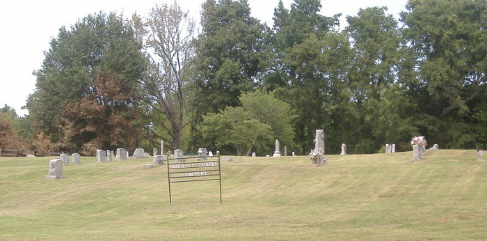
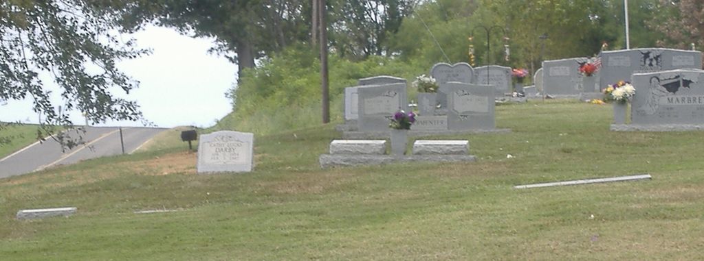
| Memorials | : | 57 |
| Location | : | Bonicord, Dyer County, USA |
| Coordinate | : | 35.9772470, -89.3458570 |
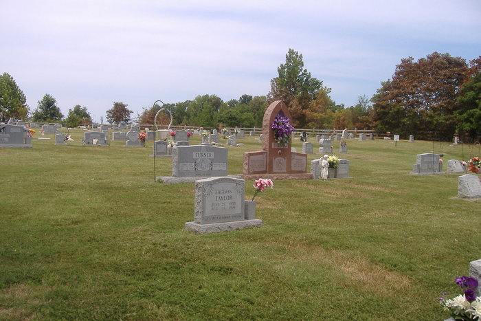
| Description | : | From the intersection of TN-210 S & US-412, south of Dyersburg, travel west on TN-210 for 0.7 mi.; turning north onto Sorrell Chapel Rd., going 0.5 mi., passing the Sorrell Chapel Methodist Church; turning northwest to stay on Sorrell Chapel Rd., going 0.3 mi.; turning north (right) into the driveway of this 'deeded' cemetery, as indicated on USGS topo maps. |
frequently asked questions (FAQ):
-
Where is Sorrell Chapel Cemetery?
Sorrell Chapel Cemetery is located at 4088 Sorrell Chapel Road Bonicord, Dyer County ,Tennessee ,USA.
-
Sorrell Chapel Cemetery cemetery's updated grave count on graveviews.com?
49 memorials
-
Where are the coordinates of the Sorrell Chapel Cemetery?
Latitude: 35.9772470
Longitude: -89.3458570
Nearby Cemetories:
1. Clay Cemetery
Fowlkes, Dyer County, USA
Coordinate: 35.9760780, -89.3453920
2. Hodge Cemetery
Dyersburg, Dyer County, USA
Coordinate: 35.9836620, -89.3532490
3. Pate Family Cemetery
Bonicord, Dyer County, USA
Coordinate: 35.9575110, -89.3389720
4. Holly Springs Cemetery
Fowlkes, Dyer County, USA
Coordinate: 35.9622940, -89.3685410
5. Williams Chapel Cemetery
Bonicord, Dyer County, USA
Coordinate: 35.9472008, -89.3221970
6. McCoy Cemetery
Dyer County, USA
Coordinate: 35.9536018, -89.3827972
7. Shelton Cemetery
Fowlkes, Dyer County, USA
Coordinate: 35.9416530, -89.3281750
8. Viar Cemetery
RoEllen, Dyer County, USA
Coordinate: 36.0101620, -89.3177740
9. Wood Cemetery
RoEllen, Dyer County, USA
Coordinate: 36.0101620, -89.3177740
10. King Cemetery
Dyersburg, Dyer County, USA
Coordinate: 35.9810470, -89.3969130
11. Butterworth Cemetery
Fowlkes, Dyer County, USA
Coordinate: 35.9893990, -89.3974991
12. Fowlkes Methodist Church Cemetery
Fowlkes, Dyer County, USA
Coordinate: 35.9781560, -89.3996230
13. Millers Chapel Cemetery
Dyersburg, Dyer County, USA
Coordinate: 35.9385986, -89.3163986
14. Bell-Walker Cemetery
Tigrett, Dyer County, USA
Coordinate: 35.9581400, -89.2913360
15. Reynolds Cemetery
RoEllen, Dyer County, USA
Coordinate: 36.0139240, -89.3071170
16. Murray Cemetery
Bonicord, Dyer County, USA
Coordinate: 35.9485000, -89.2969000
17. Peal and Bailey Land Cemetery
Bruceville, Dyer County, USA
Coordinate: 35.9256960, -89.3584940
18. Fowlkes Cemetery
Dyersburg, Dyer County, USA
Coordinate: 36.0303100, -89.3578170
19. Parker Cemetery
RoEllen, Dyer County, USA
Coordinate: 36.0018100, -89.2845300
20. Staggs Cemetery
Friendship, Dyer County, USA
Coordinate: 35.9397930, -89.2896620
21. Palestine Cemetery
Bruceville, Dyer County, USA
Coordinate: 35.9183080, -89.3536090
22. Memorial Park Cemetery
Dyersburg, Dyer County, USA
Coordinate: 36.0358009, -89.3581009
23. Dyersburg City Cemetery
Dyersburg, Dyer County, USA
Coordinate: 36.0312996, -89.3786011
24. Jones Cemetery
Tigrett, Dyer County, USA
Coordinate: 35.9552230, -89.2747450