
| Memorials | : | 1 |
| Location | : | Birmingham, Jefferson County, USA |
| Phone | : | 205-833-0128 |
| Coordinate | : | 33.5908050, -86.7225660 |
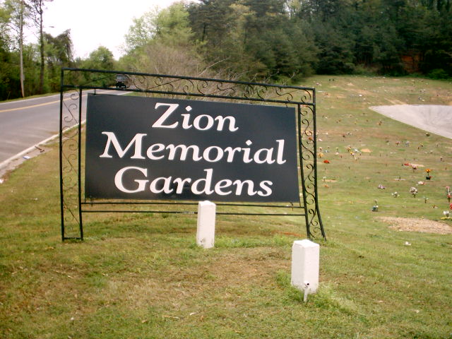
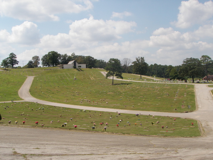
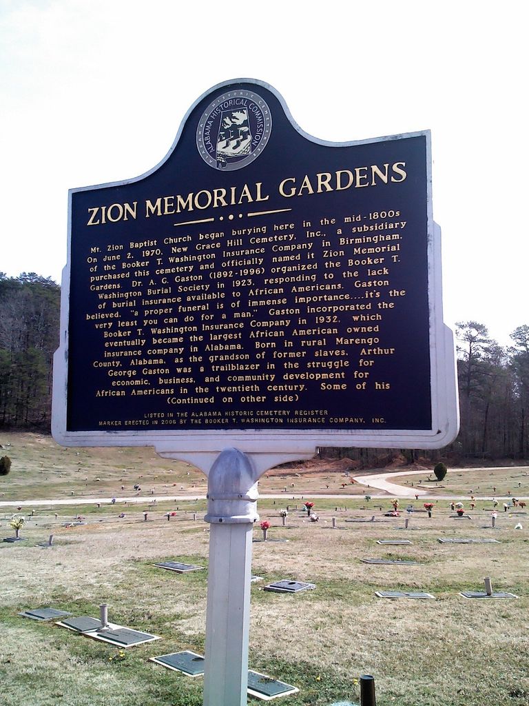
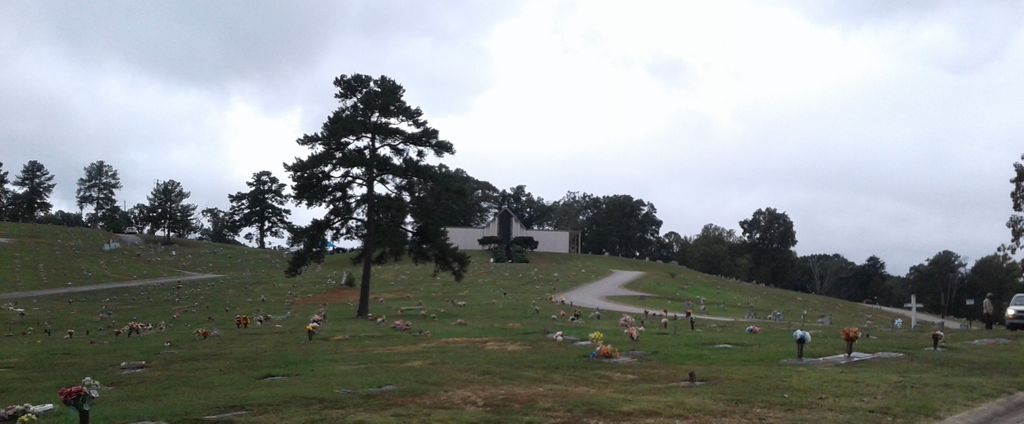
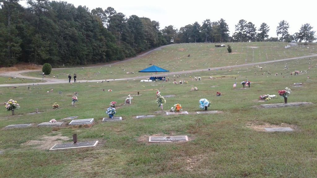
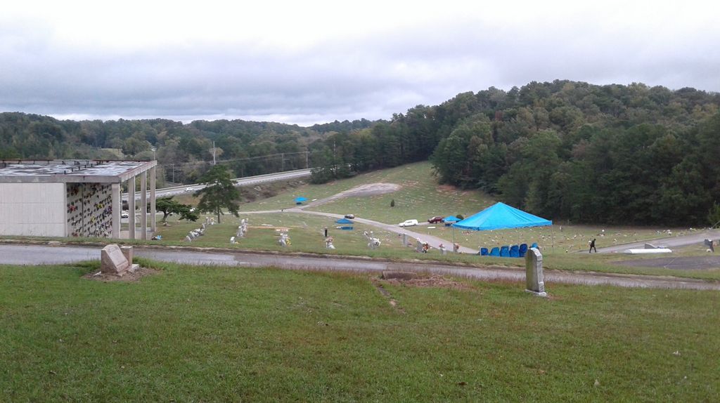
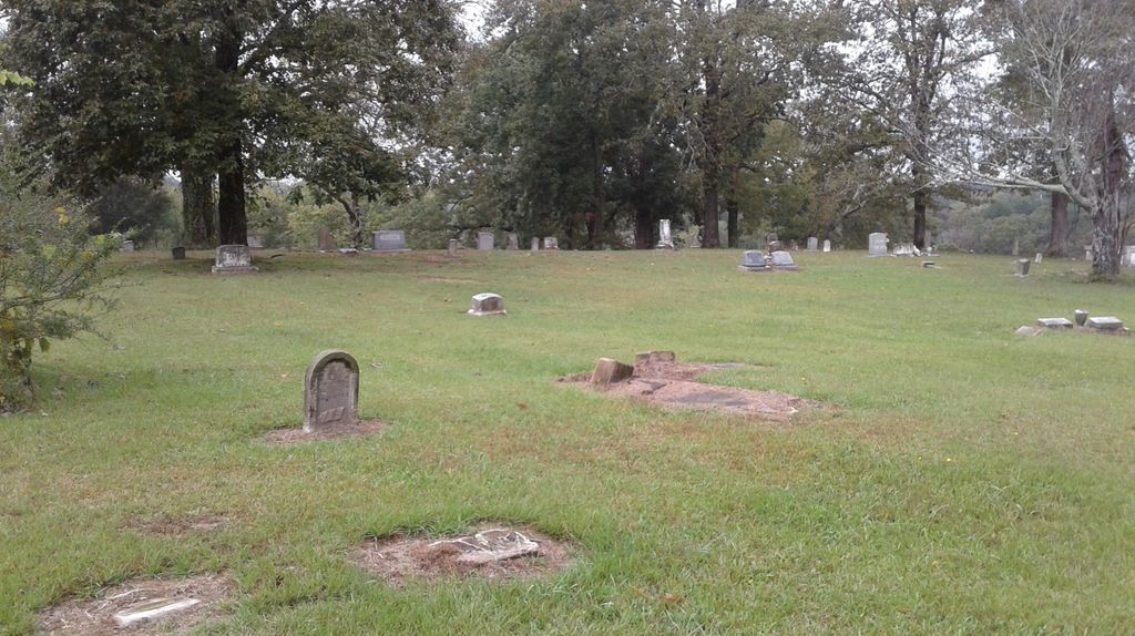
| Description | : | Mt. Zion Baptist Church began burying here in the mid-1800s. On June 2, 1970, New Grace Hill Cemetery, Inc., a subsidiary of the Booker T. Washington Insurance Company in Birmingham, purchased this cemetery and officially named it Zion Memorial Gardens. Dr. A. G. Gaston (1892-1996) organized the Booker T. Washington Burial Society in 1923, responding to the lack of burial insurance available to African Americans. Gaston believed, "a proper funeral is of immense importance…it's the very least you can do for a man." |
frequently asked questions (FAQ):
-
Where is Zion Memorial Gardens?
Zion Memorial Gardens is located at 201 93rd Street N Birmingham, Jefferson County ,Alabama ,USA.
-
Zion Memorial Gardens cemetery's updated grave count on graveviews.com?
1 memorials
-
Where are the coordinates of the Zion Memorial Gardens?
Latitude: 33.5908050
Longitude: -86.7225660
Nearby Cemetories:
1. Higgins Cemetery
Jefferson County, USA
Coordinate: 33.5881004, -86.7249985
2. Wilson Chapel Cemetery
Birmingham, Jefferson County, USA
Coordinate: 33.5815800, -86.7054610
3. Huffman Methodist Church Cemetery
Birmingham, Jefferson County, USA
Coordinate: 33.5966301, -86.6913910
4. East Lake Cemetery
Birmingham, Jefferson County, USA
Coordinate: 33.5621986, -86.7266998
5. Bass Cemetery
Irondale, Jefferson County, USA
Coordinate: 33.5744019, -86.6733017
6. Pawnee Missionary Baptist Church Cemetery
Birmingham, Jefferson County, USA
Coordinate: 33.6302170, -86.7480170
7. Greenwood Cemetery
Birmingham, Jefferson County, USA
Coordinate: 33.5522003, -86.7528000
8. Unnamed African American Cemetery
Birmingham, Jefferson County, USA
Coordinate: 33.5438772, -86.7203427
9. Forest Hill Cemetery
Birmingham, Jefferson County, USA
Coordinate: 33.5485992, -86.7542038
10. Reed Cemetery
Grayson Valley, Jefferson County, USA
Coordinate: 33.6186500, -86.6714800
11. Wood Cemetery
Birmingham, Jefferson County, USA
Coordinate: 33.5427246, -86.7507935
12. Inglenook Cemetery
Jefferson County, USA
Coordinate: 33.5630989, -86.7778015
13. Earltown Cemetery
Jefferson County, USA
Coordinate: 33.5513992, -86.6733017
14. Bush Cemetery
Jefferson County, USA
Coordinate: 33.5327988, -86.7144012
15. Green Cemetery
Pinson, Jefferson County, USA
Coordinate: 33.6545660, -86.7176840
16. New Castle Cemetery
New Castle, Jefferson County, USA
Coordinate: 33.6404300, -86.7732400
17. Phillips Family Cemetery (Defunct)
Birmingham, Jefferson County, USA
Coordinate: 33.5439600, -86.6651580
18. Chalkville Baptist Church Cemetery
Chalkville, Jefferson County, USA
Coordinate: 33.6377983, -86.6594009
19. McElwain Baptist Cemetery
Birmingham, Jefferson County, USA
Coordinate: 33.5186005, -86.7296982
20. Alton Cemetery
Birmingham, Jefferson County, USA
Coordinate: 33.5801470, -86.6357270
21. Ellard Family Cemetery
Jefferson County, USA
Coordinate: 33.6054780, -86.6331570
22. Saint Francis Xavier Catholic Church Columbarium
Birmingham, Jefferson County, USA
Coordinate: 33.5161100, -86.7421910
23. Walker Chapel Memorial Gardens
Fultondale, Jefferson County, USA
Coordinate: 33.6046982, -86.8171997
24. New Hope Cemetery
Irondale, Jefferson County, USA
Coordinate: 33.5281219, -86.6607361