| Memorials | : | 10 |
| Location | : | Mount Gilead, Montgomery County, USA |
| Coordinate | : | 35.2725670, -80.0368520 |
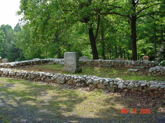
| Description | : | Andrews Plot According to 'These Hallowed Grounds' published by the Stanly County Genealogical Society, Stanly Co, NC, the Old Scarborough Meeting House was the original name. One of the surveyors of the cemeteries listed in the book is the Stanly County Historical Librarian, Paul Morrison. |
frequently asked questions (FAQ):
-
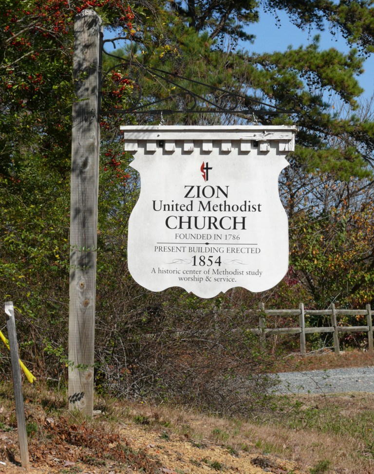
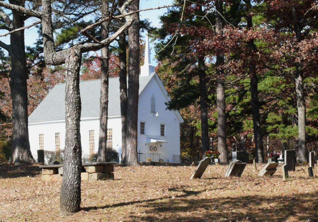
Where is Zion Methodist Cemetery?
Zion Methodist Cemetery is located at 398 Zion Church Road Mount Gilead, Montgomery County ,North Carolina ,USA.
-
Zion Methodist Cemetery cemetery's updated grave count on graveviews.com?
7 memorials
-
Where are the coordinates of the Zion Methodist Cemetery?
Latitude: 35.2725670
Longitude: -80.0368520
Nearby Cemetories:
1. Stoney Fork Baptist Church Cemetery
Mount Gilead, Montgomery County, USA
Coordinate: 35.2755380, -80.0118270
2. Moore Family Cemetery
Montgomery County, USA
Coordinate: 35.2864200, -80.0581700
3. McRae Cemetery
Pee Dee, Montgomery County, USA
Coordinate: 35.2736015, -79.9946976
4. Ropers Grove Cemetery
Mount Gilead, Montgomery County, USA
Coordinate: 35.2566986, -79.9966965
5. Bethel Baptist Church Cemetery
Mount Gilead, Montgomery County, USA
Coordinate: 35.2234300, -80.0391800
6. White Crest Baptist Church Cemetery
Uwharrie, Montgomery County, USA
Coordinate: 35.3196360, -80.0598770
7. Parsons Family Cemetery
Wadeville, Montgomery County, USA
Coordinate: 35.2819620, -79.9737970
8. Wadeville United Methodist Church Cemetery
Wadeville, Montgomery County, USA
Coordinate: 35.2796790, -79.9707540
9. Randall United Methodist Church Cemetery
Norwood, Stanly County, USA
Coordinate: 35.2643880, -80.1055540
10. Wadeville Baptist Church Cemetery
Wadeville, Montgomery County, USA
Coordinate: 35.2824250, -79.9683770
11. William Craven Thompson Cemetery
Albemarle, Stanly County, USA
Coordinate: 35.2977300, -80.1017400
12. Cochran Cemetery
Norwood, Stanly County, USA
Coordinate: 35.2292167, -80.0934167
13. Sharon Presbyterian Church
Mount Gilead, Montgomery County, USA
Coordinate: 35.2156780, -80.0024410
14. Robinson Cemetery
Troy, Montgomery County, USA
Coordinate: 35.3328600, -80.0653600
15. Liberty Hill Baptist Church Cemetery
Liberty Hill, Montgomery County, USA
Coordinate: 35.3281590, -79.9964400
16. Kirk Family Cemetery
Stanly County, USA
Coordinate: 35.3257660, -80.0833500
17. Swift Island Methodist Episcopal-Forrest Presbyter
Albemarle, Stanly County, USA
Coordinate: 35.3186167, -80.1005667
18. Hunsucker Cemetery
Liberty Hill, Montgomery County, USA
Coordinate: 35.3357200, -80.0008500
19. First Baptist Church Cemetery
Norwood, Stanly County, USA
Coordinate: 35.2340570, -80.1157200
20. Sharon Cemetery
Mount Gilead, Montgomery County, USA
Coordinate: 35.2136002, -79.9796982
21. Norview Gardens Cemetery
Norwood, Stanly County, USA
Coordinate: 35.2413890, -80.1230560
22. Bennett Chapel AME Zion Cemetery
Norwood, Stanly County, USA
Coordinate: 35.2167100, -80.1103900
23. Barringer Chapel Baptist Church Cemetery
Norwood, Stanly County, USA
Coordinate: 35.2134500, -80.1077100
24. Pleasant Grove Church Cemetery
Mount Gilead, Montgomery County, USA
Coordinate: 35.1967010, -79.9944000


