
| Memorials | : | 4 |
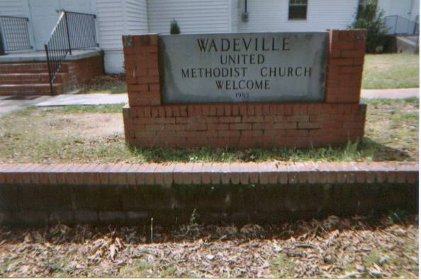
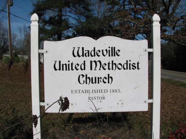
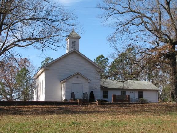
| Location | : | Wadeville, Montgomery County, USA |
| Coordinate | : | 35.2796790, -79.9707540 |
| Description | : | Take Highway 109 south from Wadeville, N.C. Church and cemetery will be on the right on Highway 109. |
frequently asked questions (FAQ):
-
Where is Wadeville United Methodist Church Cemetery?
Wadeville United Methodist Church Cemetery is located at Wadeville, Montgomery County ,North Carolina ,USA.
-
Wadeville United Methodist Church Cemetery cemetery's updated grave count on graveviews.com?
4 memorials
-
Where are the coordinates of the Wadeville United Methodist Church Cemetery?
Latitude: 35.2796790
Longitude: -79.9707540
Nearby Cemetories:
1. Wadeville Baptist Church Cemetery
Wadeville, Montgomery County, USA
Coordinate: 35.2824250, -79.9683770
2. Parsons Family Cemetery
Wadeville, Montgomery County, USA
Coordinate: 35.2819620, -79.9737970
3. McRae Cemetery
Pee Dee, Montgomery County, USA
Coordinate: 35.2736015, -79.9946976
4. Ropers Grove Cemetery
Mount Gilead, Montgomery County, USA
Coordinate: 35.2566986, -79.9966965
5. Stoney Fork Baptist Church Cemetery
Mount Gilead, Montgomery County, USA
Coordinate: 35.2755380, -80.0118270
6. Calvary Baptist Church Cemetery
Mount Gilead, Montgomery County, USA
Coordinate: 35.2544310, -79.9284410
7. Chisholm Cemetery
Wadeville, Montgomery County, USA
Coordinate: 35.2800560, -79.9127050
8. Chisholm Cemetery
Wadeville, Montgomery County, USA
Coordinate: 35.2851790, -79.9099590
9. Liberty Hill Baptist Church Cemetery
Liberty Hill, Montgomery County, USA
Coordinate: 35.3281590, -79.9964400
10. Zion Methodist Cemetery
Mount Gilead, Montgomery County, USA
Coordinate: 35.2725670, -80.0368520
11. Hunsucker Cemetery
Liberty Hill, Montgomery County, USA
Coordinate: 35.3357200, -80.0008500
12. Haywood Cemetery
Mount Gilead, Montgomery County, USA
Coordinate: 35.2592010, -79.8961029
13. Pleasant Grove Baptist Church Cemetery
Mount Gilead, Montgomery County, USA
Coordinate: 35.2995000, -79.8937000
14. New Covenant Church Cemetery
Troy, Montgomery County, USA
Coordinate: 35.3337200, -79.9241600
15. Sharon Cemetery
Mount Gilead, Montgomery County, USA
Coordinate: 35.2136002, -79.9796982
16. Sharon Presbyterian Church
Mount Gilead, Montgomery County, USA
Coordinate: 35.2156780, -80.0024410
17. Moore Family Cemetery
Montgomery County, USA
Coordinate: 35.2864200, -80.0581700
18. Bruton Cemetery
Troy, Montgomery County, USA
Coordinate: 35.2941990, -79.8788770
19. Bethel Baptist Church Cemetery
Mount Gilead, Montgomery County, USA
Coordinate: 35.2234300, -80.0391800
20. Thompson-Yarboro Cemetery
Montgomery County, USA
Coordinate: 35.2394000, -79.8838000
21. White Crest Baptist Church Cemetery
Uwharrie, Montgomery County, USA
Coordinate: 35.3196360, -80.0598770
22. Ingram Chapel Cemetery
Mount Gilead, Montgomery County, USA
Coordinate: 35.1971130, -79.9533320
23. Pleasant Grove Church Cemetery
Mount Gilead, Montgomery County, USA
Coordinate: 35.1967010, -79.9944000
24. Holly Mount Baptist Church Cemetery
Mount Gilead, Montgomery County, USA
Coordinate: 35.2434940, -79.8757530