
| Memorials | : | 2 |
| Location | : | Poland, Clay County, USA |
| Coordinate | : | 39.4288445, -86.9506683 |
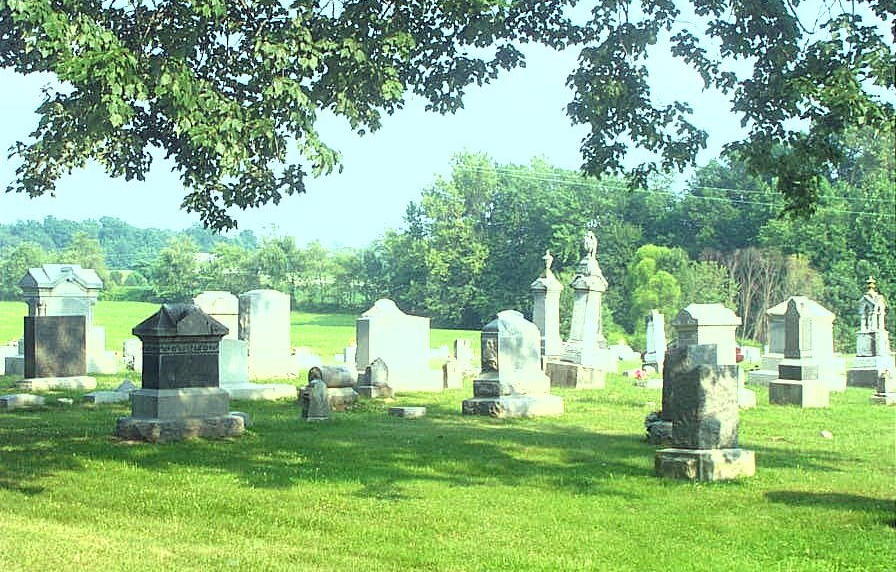
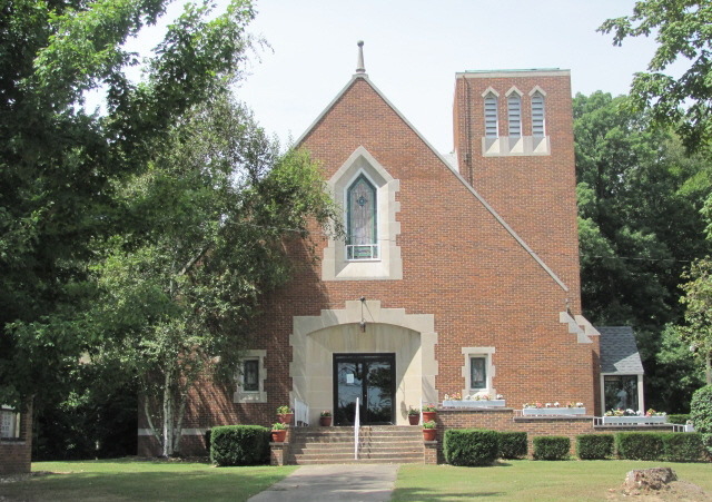
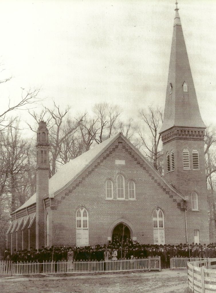
| Description | : | The cemetery is located in Washington Township (N half of Section 3 Township 11N Range 5W) on both the southeast and southwest corners of the intersection of N Bowling Green Poland Road and County Road 300 Indiana Cemetery Locations, Volume 4, published by the Indiana Genealogical Society (April 2009), gives the primary cemetery name as Zion Cemetery with an alternate name of German Reform Cemetery. The cemetery is listed in the Cemetery and Burial Grounds Registry of the Indiana Department of Natural Resources (DNR) and in the State Historical Architectural and Archaeological Research Database (SHAARD) with Cemetery Record... Read More |
frequently asked questions (FAQ):
-
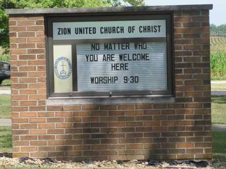
Where is Zion United Church Of Christ Cemetery?
Zion United Church Of Christ Cemetery is located at 3005 N. Bowling Green Poland Rd. Poland, Clay County ,Indiana , 47868USA.
-
Zion United Church Of Christ Cemetery cemetery's updated grave count on graveviews.com?
2 memorials
-
Where are the coordinates of the Zion United Church Of Christ Cemetery?
Latitude: 39.4288445
Longitude: -86.9506683
Nearby Cemetories:
1. Anderson Cemetery
Poland, Clay County, USA
Coordinate: 39.4420000, -86.9534700
2. Poland Chapel Cemetery
Poland, Clay County, USA
Coordinate: 39.4445152, -86.9535599
3. Schoppenhorst Cemetery
Poland, Clay County, USA
Coordinate: 39.4103000, -86.9614000
4. Dyar Cemetery
Clay County, USA
Coordinate: 39.4462210, -86.9724190
5. Cagle Cemetery
Clay County, USA
Coordinate: 39.4514008, -86.9630966
6. Wilkinson-Nees Cemetery
Poland, Clay County, USA
Coordinate: 39.4407997, -86.9794006
7. Mustard Cemetery
Poland, Clay County, USA
Coordinate: 39.4222000, -87.0003000
8. Cromwell Cemetery
Clay County, USA
Coordinate: 39.4469400, -86.9955700
9. Rizley Cemetery
Clay County, USA
Coordinate: 39.4375000, -87.0008000
10. Latham-Lucas Cemetery
Poland, Clay County, USA
Coordinate: 39.4573900, -86.9950300
11. Mace Cemetery
Putnam County, USA
Coordinate: 39.4771996, -86.9617004
12. Fertig Cemetery
Owen County, USA
Coordinate: 39.4647790, -86.9038080
13. McCullough-Stigler Cemetery
Putnam County, USA
Coordinate: 39.4768300, -86.9896500
14. Olive Hill Cemetery
Morgan Township, Owen County, USA
Coordinate: 39.3711950, -86.9285110
15. Bowling Green Cemetery
Bowling Green, Clay County, USA
Coordinate: 39.3856888, -87.0073395
16. Grable Cemetery
Putnam County, USA
Coordinate: 39.4907990, -86.9543991
17. Reeves Cemetery (Defunct)
Cloverdale, Putnam County, USA
Coordinate: 39.4791700, -86.8972200
18. Eltzroth Cemetery
Jordan, Owen County, USA
Coordinate: 39.4215780, -86.8653510
19. Mount Zion Cemetery
Bowling Green, Clay County, USA
Coordinate: 39.3636400, -86.9697400
20. Asher Cemetery
Jackson Township, Owen County, USA
Coordinate: 39.4312805, -86.8614711
21. New Union Carolina Church Cemetery
Morgan Township, Owen County, USA
Coordinate: 39.3855896, -86.8798676
22. Asher Cemetery
Cunot, Owen County, USA
Coordinate: 39.4315000, -86.8586000
23. Saint John's Cemetery
Brazil, Clay County, USA
Coordinate: 39.4443130, -87.0429688
24. Fairview Cemetery
Bowling Green, Clay County, USA
Coordinate: 39.3689000, -87.0081020