
| Memorials | : | 0 |
| Location | : | Poland, Clay County, USA |
| Coordinate | : | 39.4222000, -87.0003000 |
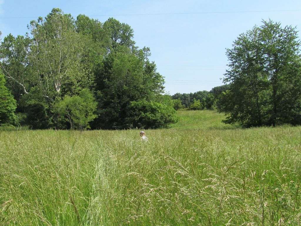
| Description | : | Walker-Mustard Farm is located in Section 6, Washington Township, Clay County, Indiana. West side of the Eel River on land previously owned by M. Mustard or V. Sonnefield. Driving direction: Take SR 42 east to Sonnefield Road (1st road on the west side of Eel River). One 1/2 miles south on Sonnefield Road take gravel road to the left. There's a small white house on the NE corner. Drive about one mile. There's a powerline overhead. Burial grounds are about 300 yards on the left side of the gravel road on top of a hill. "Burial ground" currently on the Barr Farm.... Read More |
frequently asked questions (FAQ):
-
Where is Mustard Cemetery?
Mustard Cemetery is located at N. Sonnefield Road Poland, Clay County ,Indiana , 47840USA.
-
Mustard Cemetery cemetery's updated grave count on graveviews.com?
0 memorials
-
Where are the coordinates of the Mustard Cemetery?
Latitude: 39.4222000
Longitude: -87.0003000
Nearby Cemetories:
1. Rizley Cemetery
Clay County, USA
Coordinate: 39.4375000, -87.0008000
2. Wilkinson-Nees Cemetery
Poland, Clay County, USA
Coordinate: 39.4407997, -86.9794006
3. Cromwell Cemetery
Clay County, USA
Coordinate: 39.4469400, -86.9955700
4. Dyar Cemetery
Clay County, USA
Coordinate: 39.4462210, -86.9724190
5. Schoppenhorst Cemetery
Poland, Clay County, USA
Coordinate: 39.4103000, -86.9614000
6. Latham-Lucas Cemetery
Poland, Clay County, USA
Coordinate: 39.4573900, -86.9950300
7. Bowling Green Cemetery
Bowling Green, Clay County, USA
Coordinate: 39.3856888, -87.0073395
8. Zion United Church Of Christ Cemetery
Poland, Clay County, USA
Coordinate: 39.4288445, -86.9506683
9. Saint John's Cemetery
Brazil, Clay County, USA
Coordinate: 39.4443130, -87.0429688
10. Killion Cemetery
Bowling Green, Clay County, USA
Coordinate: 39.3931007, -87.0355988
11. Cagle Cemetery
Clay County, USA
Coordinate: 39.4514008, -86.9630966
12. Anderson Cemetery
Poland, Clay County, USA
Coordinate: 39.4420000, -86.9534700
13. Poland Chapel Cemetery
Poland, Clay County, USA
Coordinate: 39.4445152, -86.9535599
14. Williams Cemetery
Bowling Green, Clay County, USA
Coordinate: 39.3858200, -87.0503200
15. Fairview Cemetery
Bowling Green, Clay County, USA
Coordinate: 39.3689000, -87.0081020
16. Zenor Cemetery
Clay County, USA
Coordinate: 39.3680992, -87.0117035
17. McCullough-Stigler Cemetery
Putnam County, USA
Coordinate: 39.4768300, -86.9896500
18. Neidlinger Cemetery
Harmony, Clay County, USA
Coordinate: 39.4599991, -87.0543976
19. Kaelber Cemetery
Clay County, USA
Coordinate: 39.4455986, -87.0667038
20. Center Point Cemetery
Center Point, Clay County, USA
Coordinate: 39.4178848, -87.0738297
21. Sloan Cemetery
Washington Township, Clay County, USA
Coordinate: 39.3753000, -87.0439000
22. Clay County Poor Farm Cemetery
Center Point, Clay County, USA
Coordinate: 39.3711320, -87.0433790
23. Mace Cemetery
Putnam County, USA
Coordinate: 39.4771996, -86.9617004
24. Mount Zion Cemetery
Bowling Green, Clay County, USA
Coordinate: 39.3636400, -86.9697400