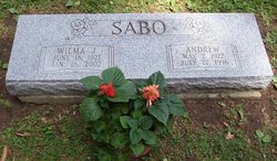
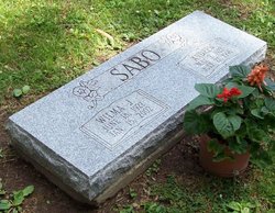
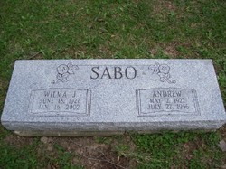
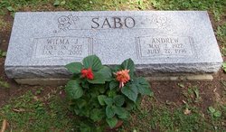
Andrew Sabo
| Birth | : | 2 May 1922 Mentor, Lake County, Ohio, USA |
| Death | : | 27 Jul 1996 Jefferson, Ashtabula County, Ohio, USA |
| Burial | : | Sand Fork Cemetery, Gilmer County, USA |
| Coordinate | : | 38.9158890, -80.7480520 |
| Description | : | Andrew Sabo JEFFERSON-Andrew Sabo, 74, of Uselma Avenue, died Saturday, July 27, 1996, at St. Vincent Health Center, Erie, Pa., following a long illness. Born May 2, 1922, in Mentor, he was the son of Joseph and Julia (Jacob) Sabo. He has been a resident of Jefferson since 1962, coming from Painesville. Mr. Sabo was an employee of Diamond Shamrock Corp. for 22 years, retiring in 1972. He was a handyman, able to fix and repair most anything. He also enjoyed gardening, woodworking and sports of all kinds. Survivors include his wife, Wilma J. (Goff), whom he wed May 2, 1964; two sons, Andrew... Read More |
frequently asked questions (FAQ):
-
Where is Andrew Sabo's memorial?
Andrew Sabo's memorial is located at: Sand Fork Cemetery, Gilmer County, USA.
-
When did Andrew Sabo death?
Andrew Sabo death on 27 Jul 1996 in Jefferson, Ashtabula County, Ohio, USA
-
Where are the coordinates of the Andrew Sabo's memorial?
Latitude: 38.9158890
Longitude: -80.7480520
Family Members:
Parent
Spouse
Flowers:
Nearby Cemetories:
1. Sand Fork Cemetery
Gilmer County, USA
Coordinate: 38.9158890, -80.7480520
2. Killingsworth Cemetery
Sand Fork, Gilmer County, USA
Coordinate: 38.9169640, -80.7249834
3. Isaac B. Garrett Burial Site
Sand Fork, Gilmer County, USA
Coordinate: 38.8934000, -80.7443200
4. Varner Cemetery
Sand Fork, Gilmer County, USA
Coordinate: 38.9254709, -80.7212012
5. Dusk Camp United Methodist Church Cemetery
Gilmer County, USA
Coordinate: 38.8961140, -80.7325440
6. Conrad Cemetery
Sand Fork, Gilmer County, USA
Coordinate: 38.9364014, -80.7296982
7. Smith Cemetery
Stouts Mills, Gilmer County, USA
Coordinate: 38.8901800, -80.7333800
8. McHenry Cemetery #1
Sand Fork, Gilmer County, USA
Coordinate: 38.9353310, -80.7162630
9. Stout Cemetery
Stouts Mills, Gilmer County, USA
Coordinate: 38.8863000, -80.7341000
10. McHenry Cemetery
Gilmer County, USA
Coordinate: 38.9341870, -80.7130200
11. Dyer Cemetery
Gilmer County, USA
Coordinate: 38.9319000, -80.7110977
12. Conrad Cemetery
Stouts Mills, Gilmer County, USA
Coordinate: 38.8869019, -80.7264023
13. Self Family Cemetery
Glenville, Gilmer County, USA
Coordinate: 38.8852270, -80.7660100
14. Johns-Shiflet Cemetery
Stouts Mills, Gilmer County, USA
Coordinate: 38.8850100, -80.7658300
15. Otterbein Cemetery
Glenville, Gilmer County, USA
Coordinate: 38.9298550, -80.7916820
16. Putnam Cemetery
Gilmer County, USA
Coordinate: 38.8813700, -80.7721830
17. Snyder Cemetery
Gilmer County, USA
Coordinate: 38.9006004, -80.6964035
18. Hays Cemetery
Truebada, Gilmer County, USA
Coordinate: 38.9294400, -80.8026800
19. Canfield Cemetery
Gilmer, Gilmer County, USA
Coordinate: 38.9071999, -80.6900024
20. Unity Memorial Garden
Eastover, Richland County, USA
Coordinate: 38.8840220, -80.7040760
21. Rogers Cemetery
Gilmer County, USA
Coordinate: 38.9406013, -80.6936035
22. Locust Knob Cemetery
Stouts Mills, Gilmer County, USA
Coordinate: 38.8990000, -80.6880000
23. Snyder Cemetery Stewarts Creek
Glenville, Gilmer County, USA
Coordinate: 38.9577800, -80.7836100
24. Longshoal Cemetery
Gilmer, Gilmer County, USA
Coordinate: 38.8774030, -80.7055340


