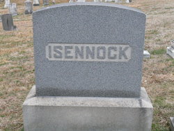
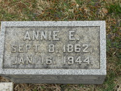
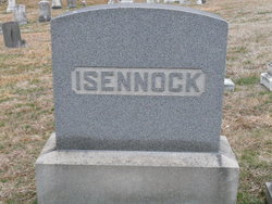
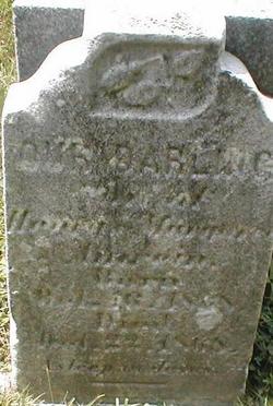
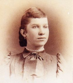
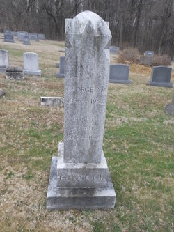
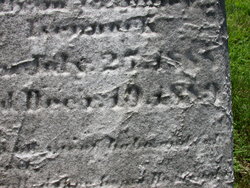
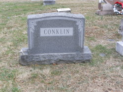
Annie Elizabeth Amrein Isennock
| Birth | : | 8 Sep 1862 Sweet Air, Baltimore County, Maryland, USA |
| Death | : | 16 Jan 1944 Sweet Air, Baltimore County, Maryland, USA |
| Burial | : | Canaan United Methodist Church Cemetery, Denton, Davidson County, USA |
| Coordinate | : | 35.6690000, -80.0630000 |
frequently asked questions (FAQ):
-
Where is Annie Elizabeth Amrein Isennock's memorial?
Annie Elizabeth Amrein Isennock's memorial is located at: Canaan United Methodist Church Cemetery, Denton, Davidson County, USA.
-
When did Annie Elizabeth Amrein Isennock death?
Annie Elizabeth Amrein Isennock death on 16 Jan 1944 in Sweet Air, Baltimore County, Maryland, USA
-
Where are the coordinates of the Annie Elizabeth Amrein Isennock's memorial?
Latitude: 35.6690000
Longitude: -80.0630000
Family Members:
Parent
Spouse
Siblings
Children
Flowers:
Nearby Cemetories:
1. Canaan United Methodist Church Cemetery
Denton, Davidson County, USA
Coordinate: 35.6690000, -80.0630000
2. Garner Family Cemetery
Denton, Davidson County, USA
Coordinate: 35.6575800, -80.0717900
3. Snider Cemetery
Denton, Davidson County, USA
Coordinate: 35.6614000, -80.0879500
4. Stout Cemetery
Denton, Davidson County, USA
Coordinate: 35.6439100, -80.0689600
5. Cedar Springs Cemetery
Cid, Davidson County, USA
Coordinate: 35.6803017, -80.0960999
6. Walters Grove Baptist Church Cemetery
Lexington, Davidson County, USA
Coordinate: 35.6988260, -80.0673240
7. Piney Grove Methodist Church
Jackson Creek, Randolph County, USA
Coordinate: 35.6920000, -80.0340000
8. North Bend Cemetery
Jackson Creek, Randolph County, USA
Coordinate: 35.6730000, -80.0213000
9. Fairview United Methodist Church
Denton, Davidson County, USA
Coordinate: 35.6870000, -80.1000000
10. Toms Creek Primitive Baptist Church Cemetery
Denton, Davidson County, USA
Coordinate: 35.6412010, -80.0992966
11. Old Fashion Baptist Church Cemetery
Randolph County, USA
Coordinate: 35.6408790, -80.0238300
12. Mount Ebal United Methodist Church Cemetery
Denton, Davidson County, USA
Coordinate: 35.6261120, -80.0673550
13. Mount Tabor Methodist Church Cemetery
Jackson Creek, Randolph County, USA
Coordinate: 35.6954230, -80.0124970
14. Town of Denton Cemetery
Denton, Davidson County, USA
Coordinate: 35.6343000, -80.1065000
15. Salem Fellowship Church Cemetery
Denton, Davidson County, USA
Coordinate: 35.6268190, -80.0306790
16. Salem United Methodist Church Cemetery
Martha, Randolph County, USA
Coordinate: 35.6255170, -80.0315170
17. Siloam United Methodist Church Cemetery
Denton, Davidson County, USA
Coordinate: 35.6105830, -80.0636830
18. First Baptist Church Cemetery
Denton, Davidson County, USA
Coordinate: 35.6330185, -80.1209183
19. Pierces Chapel Primitive Baptist Church Cemetery
Trinity, Randolph County, USA
Coordinate: 35.7141953, -80.0097046
20. Pleasant Union Community Church Cemetery
Randolph County, USA
Coordinate: 35.6922910, -79.9885640
21. Pleasant Grove Methodist Church
Asheboro, Randolph County, USA
Coordinate: 35.7344704, -80.0565033
22. Salem United Church of Christ Cemetery
Randolph County, USA
Coordinate: 35.6130480, -80.0161770
23. Hoover Cemetery
Jackson Creek, Randolph County, USA
Coordinate: 35.6836200, -79.9812800
24. Hoovers Grove Wesleyan Church Cemetery
Randolph County, USA
Coordinate: 35.6829870, -79.9796830

