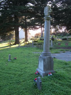
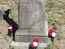
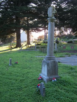
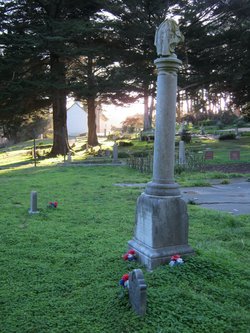
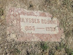
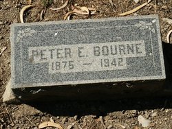
Capt Peter Lewis Bourne
| Birth | : | 30 Aug 1826 Falmouth, Barnstable County, Massachusetts, USA |
| Death | : | 14 Nov 1909 Bolinas, Marin County, California, USA |
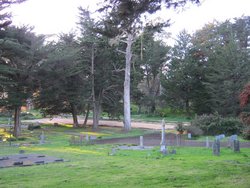
| Burial | : | Saint Mary Magdalene Catholic Church Cemetery, Bolinas, Marin County, USA |
| Coordinate | : | 37.9212570, -122.6938858 |
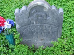
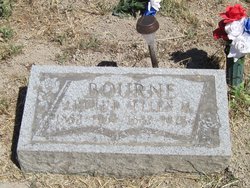
| Inscription | : | aged 83 yrs, 6 months 12 days Dear husband, thou hast left us, and your loss we deeply feel, but tis God that has bereft us, He can all our sorrows heal. Yet again we hope to meet thee, when the |
| Description | : | Captain Bourne was the original owner, of what is now the Audubon Canyon Ranch. Biographical Sketch Peter L. Bourne. Was born in Barnstable county, Massachusetts, April 30, 1826, and was the second child of Barnabas and Diadema Ewer Bourne. He remained at home with his parents till he was twelve years of age, when he shipped on board an Atlantic seaboard coaster. He followed this till 1843, when he shipped on board the ship "Rodman," Captain Alex. Newcomb, master, for a sperm whaling cruise to the Yellow sea, and was absent about three years and seven months. After spending four months at... Read More |
frequently asked questions (FAQ):
-
Where is Capt Peter Lewis Bourne's memorial?
Capt Peter Lewis Bourne's memorial is located at: Saint Mary Magdalene Catholic Church Cemetery, Bolinas, Marin County, USA.
-
When did Capt Peter Lewis Bourne death?
Capt Peter Lewis Bourne death on 14 Nov 1909 in Bolinas, Marin County, California, USA
-
Where are the coordinates of the Capt Peter Lewis Bourne's memorial?
Latitude: 37.9212570
Longitude: -122.6938858
Family Members:
Parent
Spouse
Siblings
Children
Flowers:
Nearby Cemetories:
1. Saint Mary Magdalene Catholic Church Cemetery
Bolinas, Marin County, USA
Coordinate: 37.9212570, -122.6938858
2. Bolinas Cemetery
Bolinas, Marin County, USA
Coordinate: 37.9212600, -122.6938900
3. Druid Heights Burial Site
Mill Valley, Marin County, USA
Coordinate: 37.8892100, -122.5647100
4. Taylor Cemetery
Lagunitas, Marin County, USA
Coordinate: 38.0272580, -122.7346590
5. First Presbyterian Church Memorial Garden
San Anselmo, Marin County, USA
Coordinate: 37.9703310, -122.5667860
6. Montgomery Memorial Chapel Crypt
San Anselmo, Marin County, USA
Coordinate: 37.9687940, -122.5638630
7. Mount Tamalpais Cemetery
San Rafael, Marin County, USA
Coordinate: 37.9861984, -122.5544891
8. Olema Cemetery
Olema, Marin County, USA
Coordinate: 38.0313988, -122.7789001
9. Mission San Rafael Arcangel Cemetery
San Rafael, Marin County, USA
Coordinate: 37.9744330, -122.5280570
10. Fernwood Cemetery
Mill Valley, Marin County, USA
Coordinate: 37.8767014, -122.5231018
11. Mount Olivet Catholic Cemetery
San Rafael, Marin County, USA
Coordinate: 38.0024986, -122.5397034
12. Marin County Farm Cemetery
Marin County, USA
Coordinate: 38.0285500, -122.5652530
13. San Quentin Prison Cemetery
San Rafael, Marin County, USA
Coordinate: 37.9436480, -122.4883760
14. Saint Vincents Orphanage Cemetery
San Rafael, Marin County, USA
Coordinate: 38.0355800, -122.5334550
15. St. Stephen's Episcopal Church Memorial Garden
Belvedere, Marin County, USA
Coordinate: 37.8767515, -122.4712901
16. Sailors Cemetery
Sausalito, Marin County, USA
Coordinate: 37.8442390, -122.4774770
17. Golden Gate Cemetery (Defunct)
San Francisco, San Francisco County, USA
Coordinate: 37.7851990, -122.5013850
18. Beth Olam Cemetery (Defunct)
San Francisco, San Francisco County, USA
Coordinate: 37.7840450, -122.4987420
19. Caledonian Cemetery (Defunct)
San Francisco, San Francisco County, USA
Coordinate: 37.7857070, -122.4958030
20. Grand Army of the Republic Cemetery (Defunct)
San Francisco, San Francisco County, USA
Coordinate: 37.7819420, -122.4994290
21. French Benevolent Cemetery (Defunct)
San Francisco, San Francisco County, USA
Coordinate: 37.7849610, -122.4947080
22. Pioneer Memorial Cemetery
Novato, Marin County, USA
Coordinate: 38.1132532, -122.5902599
23. German Benevolent Cemetery (Defunct)
San Francisco, San Francisco County, USA
Coordinate: 37.7828920, -122.4945580
24. Angel Island Cemetery (defunct)
Tiburon, Marin County, USA
Coordinate: 37.8621830, -122.4325920

