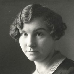
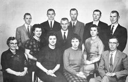
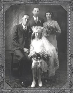
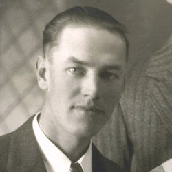
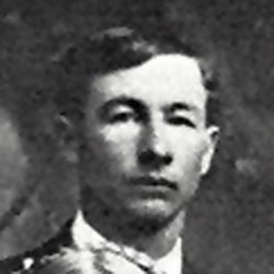
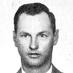
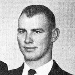
Charlotte Cecilia Schroer Witte
| Birth | : | 11 May 1905 Lawrence, Nuckolls County, Nebraska, USA |
| Death | : | 28 Mar 1992 Red Cloud, Webster County, Nebraska, USA |
| Burial | : | Locust Grove Cemetery, Mount Storm, Grant County, USA |
| Coordinate | : | 39.2294300, -79.2451590 |
| Description | : | CHARLOTTE WITTE PASSES A WAY Charlotte C. Witte, 86, of Blue Hill died Saturday, March 28, 1992 at the Webster County Hospital in Red Cloud. Rosary services were Tuesday at 7:30 p.m. at the Merten-Butler Funeral chapel in Blue Hill. Funeral Mass was Wednes¬day at 10:30 a.m. at the Holy Trinity Catholic Church in Blue Hill with the Rev. Valerian Bartek officiating. Burial was in the Blue Hill (Catholic) Cemetery. Mrs. Witte was born May 11, 1905, at Lawrence. She married Alvin V. Witte Sr. on January 29, 1929, at St, Stephen's Catholic church. They farmed near Lawrence... Read More |
frequently asked questions (FAQ):
-
Where is Charlotte Cecilia Schroer Witte's memorial?
Charlotte Cecilia Schroer Witte's memorial is located at: Locust Grove Cemetery, Mount Storm, Grant County, USA.
-
When did Charlotte Cecilia Schroer Witte death?
Charlotte Cecilia Schroer Witte death on 28 Mar 1992 in Red Cloud, Webster County, Nebraska, USA
-
Where are the coordinates of the Charlotte Cecilia Schroer Witte's memorial?
Latitude: 39.2294300
Longitude: -79.2451590
Family Members:
Parent
Spouse
Siblings
Children
Flowers:
Nearby Cemetories:
1. Locust Grove Cemetery
Mount Storm, Grant County, USA
Coordinate: 39.2294300, -79.2451590
2. Moreland Cemetery
Bismarck, Grant County, USA
Coordinate: 39.2145330, -79.2467020
3. Cosner Family Cemetery
Grant County, USA
Coordinate: 39.2151530, -79.2327150
4. Likens-Cosner Family Cemetery
Bismarck, Grant County, USA
Coordinate: 39.2194138, -79.2251587
5. Kitzmiller Cemetery
Bismarck, Grant County, USA
Coordinate: 39.2115990, -79.2252340
6. Schaeffer Cemetery
Grant County, USA
Coordinate: 39.2607994, -79.2311020
7. Alkire Cemetery
Mount Storm, Grant County, USA
Coordinate: 39.2642890, -79.2695500
8. Geisert Cemetery
Scherr, Grant County, USA
Coordinate: 39.2056313, -79.2037201
9. Baker Family Cemetery
Mount Storm, Grant County, USA
Coordinate: 39.2448840, -79.2968270
10. Idleman Cemetery
Scherr, Grant County, USA
Coordinate: 39.1911840, -79.1769200
11. Markwood Cemetery
Scherr, Grant County, USA
Coordinate: 39.1897960, -79.1598150
12. Ebert Family Cemetery
Scherr, Grant County, USA
Coordinate: 39.2497100, -79.1484900
13. Amtower Cemetery
Scherr, Grant County, USA
Coordinate: 39.2558600, -79.1454000
14. Hawk Family Cemetery
Scherr, Grant County, USA
Coordinate: 39.1529830, -79.2032690
15. Rehobeth Cemetery
Mount Storm, Grant County, USA
Coordinate: 39.3164540, -79.2330010
16. Bayard Cemetery
Bayard, Grant County, USA
Coordinate: 39.2728004, -79.3447037
17. Old Bayard Cemetery
Grant County, USA
Coordinate: 39.2776740, -79.3435850
18. Simon P. Idleman Cemetery
Maysville, Grant County, USA
Coordinate: 39.1374260, -79.2031220
19. Pope Cemetery
Gorman, Garrett County, USA
Coordinate: 39.2870120, -79.3473470
20. Evans Cemetery
Hartmansville, Mineral County, USA
Coordinate: 39.3046490, -79.1535100
21. George - Rotruck Cemetery
Martin, Grant County, USA
Coordinate: 39.2232440, -79.1086860
22. Smith Cemetery
Jordan Run, Grant County, USA
Coordinate: 39.1253480, -79.2160060
23. Hartmansville United Methodist Church Cemetery
Hartmansville, Mineral County, USA
Coordinate: 39.3194000, -79.1659100
24. Tucker Family Cemetery
Falls, Grant County, USA
Coordinate: 39.1622110, -79.1246510

