
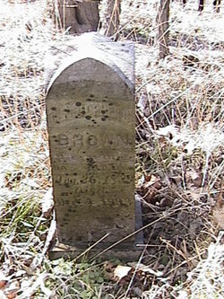
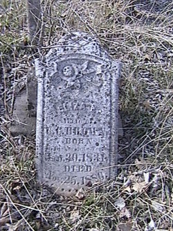
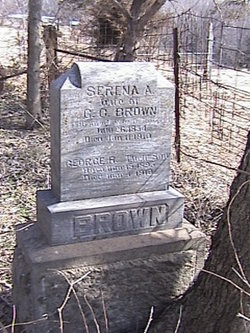
Christopher Collier Brown Jr.
| Birth | : | 28 Feb 1839 |
| Death | : | 4 Dec 1903 |
| Burial | : | Four Mile Cemetery, Maryville, Blount County, USA |
| Coordinate | : | 35.5931015, -84.0832977 |
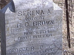
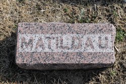
| Description | : | Married 1st: Eliza were married before 1860. Married 2nd: Serena A. Anglin in 1882. INFORMATION PROVIDED BY CONTRIBUTOR CARL JARRETT |
frequently asked questions (FAQ):
-
Where is Christopher Collier Brown Jr.'s memorial?
Christopher Collier Brown Jr.'s memorial is located at: Four Mile Cemetery, Maryville, Blount County, USA.
-
When did Christopher Collier Brown Jr. death?
Christopher Collier Brown Jr. death on 4 Dec 1903 in
-
Where are the coordinates of the Christopher Collier Brown Jr.'s memorial?
Latitude: 35.5931015
Longitude: -84.0832977
Family Members:
Parent
Spouse
Siblings
Children

Flowers:


Nearby Cemetories:
1. Four Mile Cemetery
Maryville, Blount County, USA
Coordinate: 35.5931015, -84.0832977
2. Nelson Chapel Cemetery
Blount County, USA
Coordinate: 35.6068993, -84.0757980
3. Faith Deliverance Church Cemetery
Blount County, USA
Coordinate: 35.6164200, -84.0946100
4. Allegheny Baptist Church Cemetery
Maryville, Blount County, USA
Coordinate: 35.5923040, -84.0510180
5. Williamson Chapel Cemetery
Maryville, Blount County, USA
Coordinate: 35.6206017, -84.1074982
6. Garner Family Cemetery
Blount County, USA
Coordinate: 35.6232300, -84.1065100
7. Lambert Cemetery
Blount County, USA
Coordinate: 35.6316986, -84.0674973
8. Union Grove Baptist Cemetery
Union Grove, Blount County, USA
Coordinate: 35.5883000, -84.1333000
9. Kagleys Chapel Cemetery
Sixmile, Blount County, USA
Coordinate: 35.6183014, -84.0397034
10. Lower Chilhowee Cemetery
Tallassee, Blount County, USA
Coordinate: 35.5469017, -84.0597000
11. Centenary Baptist Church Cemetery
Maryville, Blount County, USA
Coordinate: 35.6411018, -84.0582962
12. Liberty Baptist Church Cemetery
Maryville, Blount County, USA
Coordinate: 35.6260986, -84.1335983
13. Bacon-Henley Cemetery
Monroe County, USA
Coordinate: 35.5691986, -84.1418991
14. Chota Memorial
Monroe County, USA
Coordinate: 35.5552670, -84.1315750
15. Smyrna Baptist Church Cemetery
Blount County, USA
Coordinate: 35.6182750, -84.1444480
16. Old Kagleys Cemetery
Maryville, Blount County, USA
Coordinate: 35.6294680, -84.0206430
17. McMurray Cemetery
Monroe County, USA
Coordinate: 35.5386009, -84.0449982
18. Kelcie Young Farm Cemetery
Blount County, USA
Coordinate: 35.6376000, -84.0273000
19. Bakers Creek Cemetery
Blount County, USA
Coordinate: 35.6563988, -84.1100006
20. Crossroads Tabernacle Cemetery
Blount County, USA
Coordinate: 35.6555000, -84.1173600
21. Howard Chapel Missionary Baptist Church Cemetery
Vonore, Monroe County, USA
Coordinate: 35.5560989, -84.1541977
22. Citico Baptist Church Cemetery
Vonore, Monroe County, USA
Coordinate: 35.5214005, -84.0982971
23. Montgomery Cemetery
Blount County, USA
Coordinate: 35.6030998, -84.1735992
24. Bogle Farm Cemetery
Blount County, USA
Coordinate: 35.6708565, -84.0913239