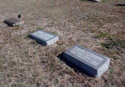
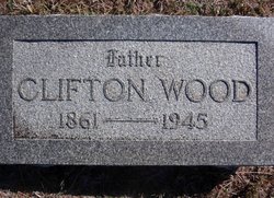
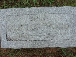
Clifton “Cliff” Wood
| Birth | : | 4 Sep 1861 Marshall, Saline County, Missouri, USA |
| Death | : | Mar 1945 Wilmore, Comanche County, Kansas, USA |
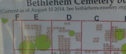
| Burial | : | Elkland Township Cemetery, Cass City, Tuscola County, USA |
| Coordinate | : | 43.6006012, -83.1577988 |
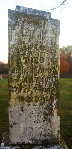
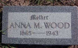
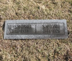
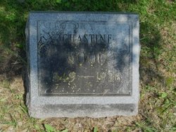
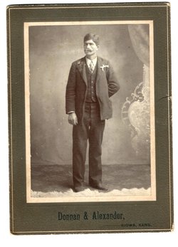
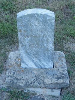
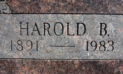
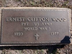
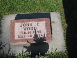
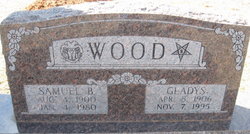
| Description | : | Clifton ("Cliff") Wood was the son of Elisha Wood and Susan Ann Baker of the area of Pettis and Saline Counties in Missouri. He married Anna Mae/May McDaniel (dau of Watson McDaniel (1840-1925) and Madaline/Madoline/Madeline Yeager McDaniel (1844-1923) of , Pettis, Missouri). Children: Barbara (b. abt 1889 in Longwood, MO, died in infancy); Harold Boyd (b. 1891, Longwood, MO); Ernest ("Ert") Clifton (b. 1893, Longwood, MO); John Prowell/Powell (b. 1895, Longwood, MO); Samuel Basil (b. 1900, , Kiowa, KS). Clifton came to Kansas from the area of Saline and Pettis Counties, Missouri, in the fall of 1886 and homesteaded... Read More |
frequently asked questions (FAQ):
-
Where is Clifton “Cliff” Wood's memorial?
Clifton “Cliff” Wood's memorial is located at: Elkland Township Cemetery, Cass City, Tuscola County, USA.
-
When did Clifton “Cliff” Wood death?
Clifton “Cliff” Wood death on Mar 1945 in Wilmore, Comanche County, Kansas, USA
-
Where are the coordinates of the Clifton “Cliff” Wood's memorial?
Latitude: 43.6006012
Longitude: -83.1577988
Family Members:
Parent
Spouse
Siblings
Children
Flowers:
Nearby Cemetories:
1. Elkland Township Cemetery
Cass City, Tuscola County, USA
Coordinate: 43.6006012, -83.1577988
2. Novesta Township Cemetery
Cass City, Tuscola County, USA
Coordinate: 43.5542297, -83.1720200
3. Elmwood Township Cemetery
Gagetown, Tuscola County, USA
Coordinate: 43.6533330, -83.2452780
4. Saint Agatha Cemetery
Gagetown, Tuscola County, USA
Coordinate: 43.6555560, -83.2491670
5. Evergreen Township Cemetery
Shabbona, Sanilac County, USA
Coordinate: 43.5466995, -83.0594025
6. Elmwood Township Cemetery
Elmwood Township, Tuscola County, USA
Coordinate: 43.5990400, -83.2901000
7. Grant Township Cemetery
Grant Township, Huron County, USA
Coordinate: 43.6857986, -83.2221985
8. Nicol Family Cemetery
Greenleaf Township, Sanilac County, USA
Coordinate: 43.6186110, -83.0161110
9. Ellington Township Cemetery
Ellington, Tuscola County, USA
Coordinate: 43.5541992, -83.2925034
10. Saint Columbkille Cemetery
Ubly, Huron County, USA
Coordinate: 43.7040220, -83.0998510
11. McTaggart Cemetery
Sheridan Township, Huron County, USA
Coordinate: 43.7192001, -83.1031036
12. Saint Michaels Cemetery
Wilmot, Tuscola County, USA
Coordinate: 43.4607380, -83.1880900
13. Moshier Cemetery
Hemans, Sanilac County, USA
Coordinate: 43.4617004, -83.0894012
14. North Wells Cemetery
Caro, Tuscola County, USA
Coordinate: 43.4758249, -83.2888843
15. Mount Pleasant Cemetery
Austin Center, Sanilac County, USA
Coordinate: 43.6253014, -82.9381027
16. Oliver Township Cemetery
Elkton, Huron County, USA
Coordinate: 43.7627258, -83.1790314
17. Johnson Cemetery
Lamotte Township, Sanilac County, USA
Coordinate: 43.4846992, -82.9933014
18. Argyle Township Cemetery
Argyle, Sanilac County, USA
Coordinate: 43.5419006, -82.9344025
19. Trinity Lutheran Cemetery
Argyle, Sanilac County, USA
Coordinate: 43.5411210, -82.9340640
20. Saint Joseph and Saint Ignatius Catholic Cemetery
Austin Township, Sanilac County, USA
Coordinate: 43.6096992, -82.9173508
21. Tuscola County Poor Farm Cemetery
Caro, Tuscola County, USA
Coordinate: 43.5100000, -83.3677780
22. Almer Township Cemetery
Caro, Tuscola County, USA
Coordinate: 43.5097008, -83.3719025
23. Saint Peter Lutheran Cemetery
Sebewaing Township, Huron County, USA
Coordinate: 43.6753006, -83.3858032
24. Old Saint Johns Cemetery
Ubly, Huron County, USA
Coordinate: 43.6916583, -82.9388844

