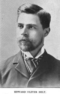
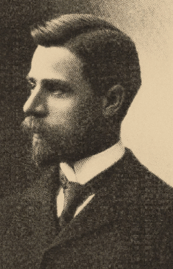
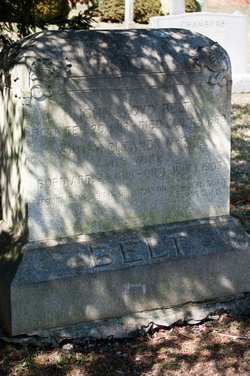
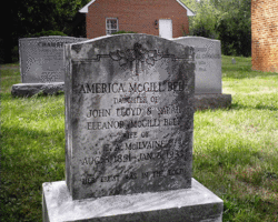
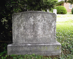
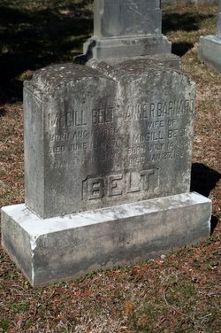
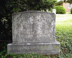
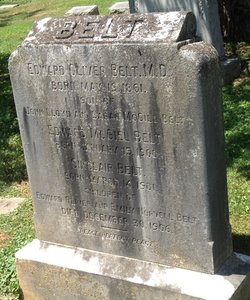
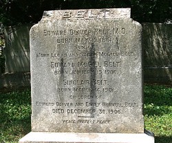
Dr Edward Oliver Belt
| Birth | : | 17 May 1861 USA |
| Death | : | 30 Dec 1906 District of Columbia, USA |
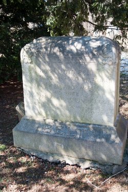
| Burial | : | Arroyo Grande Cemetery, Arroyo Grande, San Luis Obispo County, USA |
| Coordinate | : | 35.1230011, -120.5930634 |
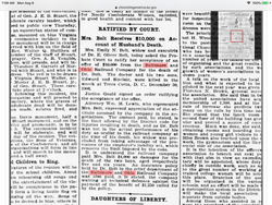
| Description | : | Dr. E. Oliver Belt was a noted eye doctor with an office in Washington, DC. His family lived at Rock Hall in Dickerson, Md which was built in 1812. Dr. Belt and two of his sons were killed in a train wreck at Terra Cotta, D.C. on the evening of 12/30/1906 while returning from a trip to the family homestead. |
frequently asked questions (FAQ):
-
Where is Dr Edward Oliver Belt's memorial?
Dr Edward Oliver Belt's memorial is located at: Arroyo Grande Cemetery, Arroyo Grande, San Luis Obispo County, USA.
-
When did Dr Edward Oliver Belt death?
Dr Edward Oliver Belt death on 30 Dec 1906 in District of Columbia, USA
-
Where are the coordinates of the Dr Edward Oliver Belt's memorial?
Latitude: 35.1230011
Longitude: -120.5930634
Family Members:
Parent
Spouse
Siblings
Children
Flowers:
Nearby Cemetories:
1. Arroyo Grande Cemetery
Arroyo Grande, San Luis Obispo County, USA
Coordinate: 35.1230011, -120.5930634
2. Saint Patrick's Cemetery
Arroyo Grande, San Luis Obispo County, USA
Coordinate: 35.1292740, -120.6002950
3. Halcyon Cemetery
Halcyon, San Luis Obispo County, USA
Coordinate: 35.1062000, -120.5994990
4. Saint Barnabas Memorial Garden
Arroyo Grande, San Luis Obispo County, USA
Coordinate: 35.1179910, -120.5706380
5. Saint John's Lutheran Church Columbarium
Arroyo Grande, San Luis Obispo County, USA
Coordinate: 35.1032070, -120.5808630
6. Saint Joseph of Cupertino Province Cemetery
San Luis Obispo County, USA
Coordinate: 35.0718803, -120.5263519
7. San Luis Cemetery
San Luis Obispo, San Luis Obispo County, USA
Coordinate: 35.2644192, -120.6712830
8. Old Mission Cemetery
San Luis Obispo, San Luis Obispo County, USA
Coordinate: 35.2670660, -120.6692150
9. Guadalupe Cemetery
Guadalupe, Santa Barbara County, USA
Coordinate: 34.9582863, -120.5741501
10. Mission San Luis Obispo Cemetery
San Luis Obispo, San Luis Obispo County, USA
Coordinate: 35.2806600, -120.6645200
11. Our Lady of Guadalupe Catholic Cemetery
Guadalupe, Santa Barbara County, USA
Coordinate: 34.9284800, -120.5911300
12. Bethel Lutheran Church Resurrection Garden
Santa Maria, Santa Barbara County, USA
Coordinate: 34.9415700, -120.4279900
13. Santa Maria Cemetery District
Santa Maria, Santa Barbara County, USA
Coordinate: 34.9369011, -120.4253006
14. Dudley-Hoffman Memory Gardens Columbarium
Santa Maria, Santa Barbara County, USA
Coordinate: 34.9388480, -120.4215260
15. Los Osos Valley Memorial Park
Los Osos, San Luis Obispo County, USA
Coordinate: 35.3053017, -120.8011017
16. Carroll-McGovern Cemetery
Pozo, San Luis Obispo County, USA
Coordinate: 35.3069100, -120.3598100
17. Santa Margarita Cemetery
Santa Margarita, San Luis Obispo County, USA
Coordinate: 35.3913994, -120.5880966
18. Canet Cemetery
San Luis Obispo County, USA
Coordinate: 35.3522840, -120.7901660
19. Ballagh Family Cemetery
Pozo, San Luis Obispo County, USA
Coordinate: 35.3695640, -120.4081780
20. Pine Grove Cemetery
Santa Barbara County, USA
Coordinate: 34.8550430, -120.4185950
21. St. Peter’s By-the-Sea Episcopal Church Memo
Morro Bay, San Luis Obispo County, USA
Coordinate: 35.3628700, -120.8467400
22. Dove Cemetery
San Luis Obispo County, USA
Coordinate: 35.4482231, -120.6344299
23. Ontiveros Cemetery
Los Alamos, Santa Barbara County, USA
Coordinate: 34.8897000, -120.2334900
24. Atascadero Pine Mountain Cemetery
Atascadero, San Luis Obispo County, USA
Coordinate: 35.4960835, -120.6565582

