| Birth | : | 10 Nov 1886 Cormorant, Becker County, Minnesota, USA |
| Death | : | 4 Jun 1974 Eureka, Humboldt County, California, USA |
| Burial | : | Gnagy Cemetery, Benton County, USA |
| Coordinate | : | 42.1418991, -92.2416992 |
| Plot | : | Grave 31, Row 1, Garden of Prayer |
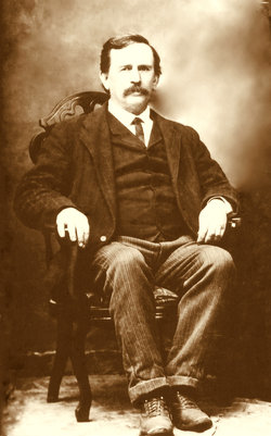
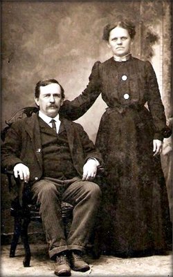
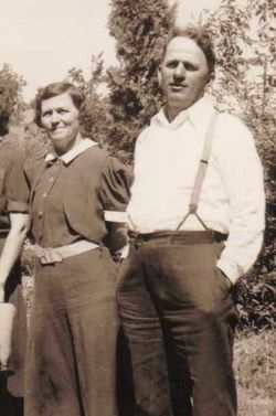
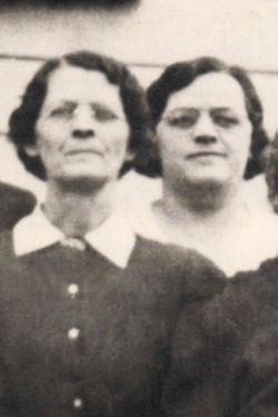
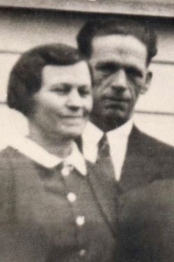
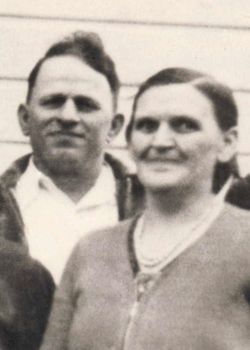
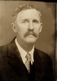
| Description | : | Edith was the daughter of Lorenzo Roger and Nettie Oretta Ellsworth Walden. She married Franklin Ray Chamberlin on July 4, 1905. Their three children were Merle Wells Chamberlin, Ida Lauretta Chamberlin and Leslie Ray Chamberlin. |
frequently asked questions (FAQ):
-
Where is Edith Louise “Edie” Walden Chamberlin's memorial?
Edith Louise “Edie” Walden Chamberlin's memorial is located at: Gnagy Cemetery, Benton County, USA.
-
When did Edith Louise “Edie” Walden Chamberlin death?
Edith Louise “Edie” Walden Chamberlin death on 4 Jun 1974 in Eureka, Humboldt County, California, USA
-
Where are the coordinates of the Edith Louise “Edie” Walden Chamberlin's memorial?
Latitude: 42.1418991
Longitude: -92.2416992
Family Members:
Parent
Spouse
Siblings
Children
Flowers:
Nearby Cemetories:
1. Gnagy Cemetery
Benton County, USA
Coordinate: 42.1418991, -92.2416992
2. Urmy Cemetery
Benton County, USA
Coordinate: 42.1719017, -92.2281036
3. Houghton Cemetery
Benton County, USA
Coordinate: 42.1088982, -92.2794037
4. Rampton Cemetery
Monroe Township, Benton County, USA
Coordinate: 42.1866989, -92.2605972
5. Saint Josephs Catholic Cemetery
Benton County, USA
Coordinate: 42.1719017, -92.2981033
6. Dysart Cemetery
Dysart, Tama County, USA
Coordinate: 42.1608009, -92.3193970
7. Garrison Cemetery
Garrison, Benton County, USA
Coordinate: 42.1369019, -92.1483002
8. Big Grove-Homer Cemetery
Benton County, USA
Coordinate: 42.0867004, -92.1821976
9. Kirchner Cemetery
Benton County, USA
Coordinate: 42.0727300, -92.2027400
10. Fairview Cemetery
Benton County, USA
Coordinate: 42.2141991, -92.2007980
11. Lone Pine Cemetery
Tama County, USA
Coordinate: 42.0797005, -92.3082962
12. Brown Bruce Township Cemetery
Benton County, USA
Coordinate: 42.2163430, -92.2799680
13. Carlisle Grove Cemetery
Garrison, Benton County, USA
Coordinate: 42.1730995, -92.1386032
14. Twogood Cemetery
Benton County, USA
Coordinate: 42.0499992, -92.2799988
15. Indian Cemetery
Garrison, Benton County, USA
Coordinate: 42.0999956, -92.1168495
16. Pratt Creek Cemetery
Vinton, Benton County, USA
Coordinate: 42.2104000, -92.1307400
17. LaRue Cemetery
Benton County, USA
Coordinate: 42.0574989, -92.1438980
18. Roadside Cemetery
Clutier, Tama County, USA
Coordinate: 42.0574800, -92.3548800
19. Big Grove Cemetery
Benton County, USA
Coordinate: 42.1088982, -92.0867004
20. Oneida Cemetery
Clutier, Tama County, USA
Coordinate: 42.1007996, -92.3966980
21. Hill Cemetery
Tama County, USA
Coordinate: 42.2542000, -92.3075027
22. Clutier Cemetery
Clutier, Tama County, USA
Coordinate: 42.0792007, -92.3858032
23. Bender Cemetery
Keystone, Benton County, USA
Coordinate: 42.0363998, -92.1536026
24. Waltham Cemetery
Elberon, Tama County, USA
Coordinate: 42.0355988, -92.3328018

