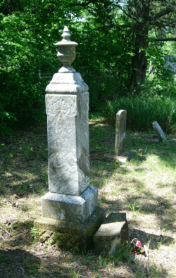
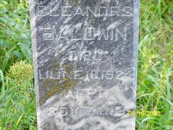
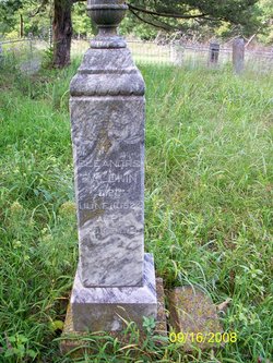
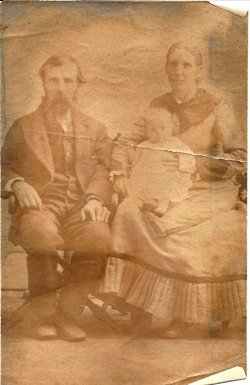
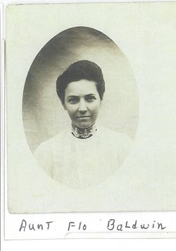
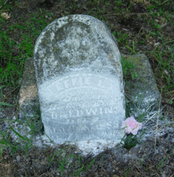
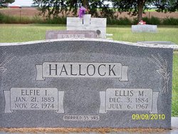
Eleanor Serepta “Ellen & Nellie” Fisher Baldwin
| Birth | : | 30 Oct 1843 Windham County, Vermont, USA |
| Death | : | 10 Jun 1924 Ottawa County, Kansas, USA |
| Burial | : | San Gorgonio Memorial Park, Banning, Riverside County, USA |
| Coordinate | : | 33.9483900, -116.8812400 |
| Description | : | Delphos Republican June 19, 1924 Well Known Pioneer Dies "Eleanor S. Fisher was born in Windham County, Vermont, October 30, 1843 and died June 10, 1924, at her home near Ada, Kansas, aged 80 years, 7 months and 11 days. She was married to Henry G. Baldwin in Vermont, Dec. 20, 1861, immediately after his enlistment for service in the Civil War. In the fall of 1864, a few months after his return home from the war, they moved to Iowa. Four years later they pushed onward to the frontier, coming to Ottawa County, Kansas, in the fall of 1868, but because of... Read More |
frequently asked questions (FAQ):
-
Where is Eleanor Serepta “Ellen & Nellie” Fisher Baldwin's memorial?
Eleanor Serepta “Ellen & Nellie” Fisher Baldwin's memorial is located at: San Gorgonio Memorial Park, Banning, Riverside County, USA.
-
When did Eleanor Serepta “Ellen & Nellie” Fisher Baldwin death?
Eleanor Serepta “Ellen & Nellie” Fisher Baldwin death on 10 Jun 1924 in Ottawa County, Kansas, USA
-
Where are the coordinates of the Eleanor Serepta “Ellen & Nellie” Fisher Baldwin's memorial?
Latitude: 33.9483900
Longitude: -116.8812400
Family Members:
Parent
Spouse
Siblings
Children
Flowers:
Nearby Cemetories:
1. San Gorgonio Memorial Park
Banning, Riverside County, USA
Coordinate: 33.9483900, -116.8812400
2. Saint Boniface Indian School Cemetery
Banning, Riverside County, USA
Coordinate: 33.9383488, -116.8886330
3. Saint Mary's Catholic Cemetery
Banning, Riverside County, USA
Coordinate: 33.9604830, -116.8257330
4. Moravian Cemetery
Banning, Riverside County, USA
Coordinate: 33.9542670, -116.8193780
5. Morongo Tribal Cemetery
Banning, Riverside County, USA
Coordinate: 33.9543340, -116.8193220
6. Stewart Sunnyslope Cemetery
Beaumont, Riverside County, USA
Coordinate: 33.9196570, -116.9651700
7. Mountain View Cemetery
Beaumont, Riverside County, USA
Coordinate: 33.9435997, -116.9800034
8. Saint Stephens Episcopal Church Memorial Garden
Beaumont, Riverside County, USA
Coordinate: 33.9322860, -116.9795610
9. Desert Lawn Memorial Park
Calimesa, Riverside County, USA
Coordinate: 33.9566994, -117.0203018
10. Saint Albans Episcopal Church Gardens
Yucaipa, San Bernardino County, USA
Coordinate: 34.0234140, -117.0573260
11. Soboba Indian Reservation Cemetery
San Jacinto, Riverside County, USA
Coordinate: 33.7796000, -116.9136000
12. San Jacinto Valley Cemetery
San Jacinto, Riverside County, USA
Coordinate: 33.7599983, -116.9599991
13. Episcopal Church of the Good Shepherd Columbarium
Hemet, Riverside County, USA
Coordinate: 33.7440620, -116.9691790
14. Holy Ghost Fathers Cemetery
Hemet, Riverside County, USA
Coordinate: 33.7362940, -116.9698520
15. St. Hugh's Episcopal Church Memorial Garden
Idyllwild, Riverside County, USA
Coordinate: 33.7518934, -116.7055594
16. Idyllwild Community Church Columbarium
Idyllwild, Riverside County, USA
Coordinate: 33.7467926, -116.7116256
17. Hillside Memorial Park
Redlands, San Bernardino County, USA
Coordinate: 34.0250015, -117.1789017
18. Trinity Memorial Garden
Redlands, San Bernardino County, USA
Coordinate: 34.0495600, -117.1795400
19. Welwood Murray Cemetery
Palm Springs, Riverside County, USA
Coordinate: 33.8310000, -116.5527000
20. Big Bear Cemetery
Big Bear City, San Bernardino County, USA
Coordinate: 34.2514000, -116.8242000
21. Jane Augustine Patencio Cemetery
Palm Springs, Riverside County, USA
Coordinate: 33.8224000, -116.5340000
22. Saint Columba Episcopal Church
Big Bear Lake, San Bernardino County, USA
Coordinate: 34.2642300, -116.8790100
23. Perris Valley Cemetery
Perris, Riverside County, USA
Coordinate: 33.7947006, -117.2228012
24. McCanna Cemetery
Perris, Riverside County, USA
Coordinate: 33.7802300, -117.2159300

