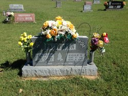
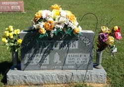
Esther A Boles Patterson
| Birth | : | 15 Sep 1911 McDonald County, Missouri, USA |
| Death | : | 4 Sep 1992 Neosho, Newton County, Missouri, USA |
| Burial | : | Roller Cemetery, Powell, McDonald County, USA |
| Coordinate | : | 36.5810547, -94.1393204 |
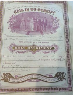
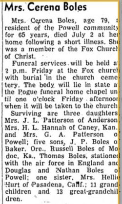
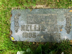
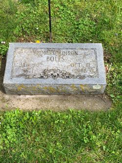
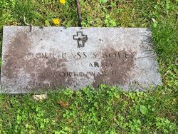
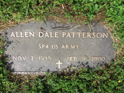
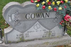
| Description | : | Joplin Globe September 6, 1992 Esther Patterson POWELL, Mo. — Esther A. Patterson, 80, rural Powell, died at 5:30 p.m. Friday at Sale Hospital, Neosho, after an illness. Mrs. Patterson was born Sept. 15, 1911, in Powell. She was a lifelong resident of the Powell area. She was a homemaker. She married Granville Allen Patterson on July 4, 1932, at Pineville. He died March 6, 1963. Survivors include a son. Dale Patterson, Powell; three daughters, Mary Lee Cowan, Powell, Patricia Haggard, Haysville, Kan., and Glenna Epps, Rogers, Ark.; three brothers, Thomas E. Boles and Douglas Boles, both of Powell, and Plennie Boles, Baker, Ore.;... Read More |
frequently asked questions (FAQ):
-
Where is Esther A Boles Patterson's memorial?
Esther A Boles Patterson's memorial is located at: Roller Cemetery, Powell, McDonald County, USA.
-
When did Esther A Boles Patterson death?
Esther A Boles Patterson death on 4 Sep 1992 in Neosho, Newton County, Missouri, USA
-
Where are the coordinates of the Esther A Boles Patterson's memorial?
Latitude: 36.5810547
Longitude: -94.1393204
Family Members:
Parent
Spouse
Siblings
Children
Nearby Cemetories:
1. Roller Cemetery
Powell, McDonald County, USA
Coordinate: 36.5810547, -94.1393204
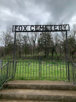
2. Fox Cemetery
Powell, McDonald County, USA
Coordinate: 36.6272200, -94.1380400
3. Simsberry Cemetery
Arnett, McDonald County, USA
Coordinate: 36.5487300, -94.1838700
4. Hollingworth Cemetery
Powell, McDonald County, USA
Coordinate: 36.6157690, -94.1831300
5. Cowan Cemetery
Powell, McDonald County, USA
Coordinate: 36.6060982, -94.2146988
6. Antioch Cemetery
Jacket, McDonald County, USA
Coordinate: 36.5177900, -94.1172400
7. Burnett Cemetery
Jacket, McDonald County, USA
Coordinate: 36.5154300, -94.1321700
8. Gates To Heaven Cemetery
McDonald County, USA
Coordinate: 36.5133000, -94.1082000
9. Clifford Barnes Family Cemetery
Powell, McDonald County, USA
Coordinate: 36.6148166, -94.2307166
10. Dent Cemetery
Jacket, McDonald County, USA
Coordinate: 36.5012100, -94.0781000
11. Cargile Cemetery
Washburn, Barry County, USA
Coordinate: 36.5598000, -94.0210000
12. Banks Cemetery
Benton County, USA
Coordinate: 36.4869003, -94.0950012
13. Ferguson-Bone Cemetery
Cyclone, McDonald County, USA
Coordinate: 36.6189957, -94.2767792
14. Hickman Cemetery
Washburn, Barry County, USA
Coordinate: 36.5871000, -93.9928000
15. Foster Cemetery
Benton County, USA
Coordinate: 36.4611015, -94.1577988
16. Owsley Union Cemetery
Longview, McDonald County, USA
Coordinate: 36.6871986, -94.2154999
17. Summit Cemetery
Bella Vista, Benton County, USA
Coordinate: 36.4613650, -94.1904300
18. Twelve Corners Cemetery
Pea Ridge, Benton County, USA
Coordinate: 36.4700012, -94.0622025
19. Berryhill Cemetery
Washburn, Barry County, USA
Coordinate: 36.5931000, -93.9814000
20. Pea Ridge Cemetery
Pea Ridge, Benton County, USA
Coordinate: 36.4536018, -94.1200027
21. Rock Springs Cemetery
Washburn, Barry County, USA
Coordinate: 36.5565600, -93.9813000
22. Creason Cemetery
Ridgley, Barry County, USA
Coordinate: 36.6903000, -94.0524979
23. Scott Cemetery
Garfield, Benton County, USA
Coordinate: 36.4822006, -94.0314026
24. Potts Cemetery
Garfield, Benton County, USA
Coordinate: 36.4873620, -94.0228990

