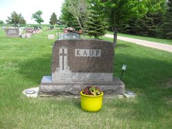
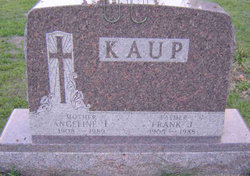
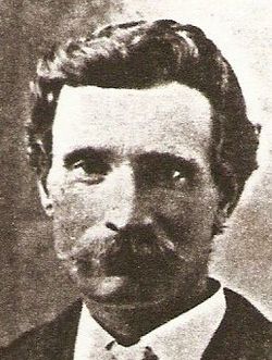
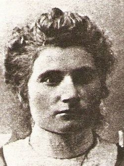
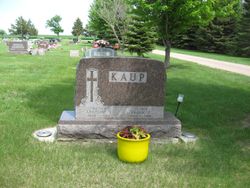
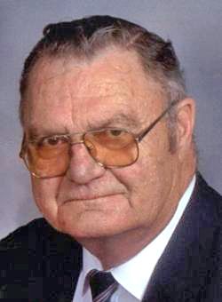
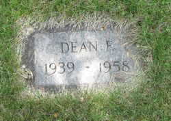
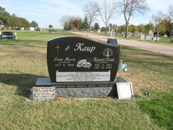
Frank J Kaup
| Birth | : | 2 Feb 1905 |
| Death | : | 14 Oct 1988 |
| Burial | : | Allentown Methodist Cemetery, Allentown, Monmouth County, USA |
| Coordinate | : | 40.1809578, -74.5833359 |
| Description | : | Taken from an Obit from Potter County Library, Gettysburg, SD Frank J. Kaup 10-20-88 Frank J. Kaup, 83 of Hoven, South Dakota passed away at Med Center I, Bismarck, North Dakota October 14, 1988. The funeral service was held at St. Anthony's Catholic Church, Hoven, South Dakota, Monday October 17, 1988 at 2:00 p.m. with Fr. Leonard Fox and Fr. Edward Burian officiating. Burial was in St. Anthony's Catholic Church Cemetery, Hoven. The organist was Alice Simon, and St. Anthony's Catholic Church Choir sang. The Lector was Jonette Kaup, Mass servers were Jason and Shannon Kaup and Neil Rausch.... Read More |
frequently asked questions (FAQ):
-
Where is Frank J Kaup's memorial?
Frank J Kaup's memorial is located at: Allentown Methodist Cemetery, Allentown, Monmouth County, USA.
-
When did Frank J Kaup death?
Frank J Kaup death on 14 Oct 1988 in
-
Where are the coordinates of the Frank J Kaup's memorial?
Latitude: 40.1809578
Longitude: -74.5833359
Family Members:
Parent
Spouse
Children
Flowers:
Nearby Cemetories:
1. Allentown Methodist Cemetery
Allentown, Monmouth County, USA
Coordinate: 40.1809578, -74.5833359
2. Hamilton Street Cemetery
Allentown, Monmouth County, USA
Coordinate: 40.1801200, -74.5846800
3. Old Christ Episcopal Burial Ground
Allentown, Monmouth County, USA
Coordinate: 40.1765300, -74.5844000
4. Allentown Presbyterian Church Cemetery
Allentown, Monmouth County, USA
Coordinate: 40.1737518, -74.5862503
5. Saint Johns Cemetery
Allentown, Monmouth County, USA
Coordinate: 40.1742363, -74.5923615
6. Princeton Memorial Park and Mausoleum
Robbinsville, Mercer County, USA
Coordinate: 40.2107900, -74.5800700
7. Sharon Methodist Episcopal Cemetery
Robbinsville, Mercer County, USA
Coordinate: 40.2046180, -74.5526530
8. Old Ellisdale Cemetery
Ellisdale, Burlington County, USA
Coordinate: 40.1300125, -74.5839996
9. Crosswicks Community Cemetery
North Crosswicks, Mercer County, USA
Coordinate: 40.1627007, -74.6472015
10. Crosswicks Methodist Cemetery
Crosswicks, Burlington County, USA
Coordinate: 40.1506195, -74.6428375
11. Crosswicks Friends Meetinghouse Cemetery
Crosswicks, Burlington County, USA
Coordinate: 40.1518580, -74.6471970
12. Chesterfield Friends Burial Ground
Crosswicks, Burlington County, USA
Coordinate: 40.1519320, -74.6477880
13. Arneytown Cemetery
Wrightstown, Burlington County, USA
Coordinate: 40.1202000, -74.5769800
14. Windsor United Methodist Church Cemetery
Windsor, Mercer County, USA
Coordinate: 40.2431297, -74.5825348
15. Cream Ridge Cemetery
Cream Ridge, Monmouth County, USA
Coordinate: 40.1349068, -74.5234375
16. Groveville Cemetery
Groveville, Mercer County, USA
Coordinate: 40.1714900, -74.6717800
17. East Windsor Cemetery
Hightstown, Mercer County, USA
Coordinate: 40.2336121, -74.5236130
18. Hamilton Square Baptist Church Cemetery
Hamilton Square, Mercer County, USA
Coordinate: 40.2273600, -74.6531700
19. First Presbyterian Churchyard
Hamilton Square, Mercer County, USA
Coordinate: 40.2297600, -74.6602700
20. Ye Olde Robbins Burial Place
Imlaystown, Monmouth County, USA
Coordinate: 40.1892300, -74.4810200
21. Hamilton Square Methodist Episcopal Churchyard
Hamilton Square, Mercer County, USA
Coordinate: 40.2312400, -74.6629600
22. Upper Freehold Friends Burying Ground
Arneytown, Monmouth County, USA
Coordinate: 40.1014709, -74.5658340
23. East Branch Friends Burial Ground
Imlaystown, Monmouth County, USA
Coordinate: 40.1887500, -74.4742900
24. Yellow Meeting House Cemetery
Red Valley, Monmouth County, USA
Coordinate: 40.1694500, -74.4726410

