| Birth | : | 11 Nov 1881 Thayer County, Nebraska, USA |
| Death | : | 21 Sep 1930 Selden, Sheridan County, Kansas, USA |
| Burial | : | East Lawn Elk Grove Memorial Park, Elk Grove, Sacramento County, USA |
| Coordinate | : | 38.4282608, -121.3969955 |
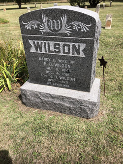
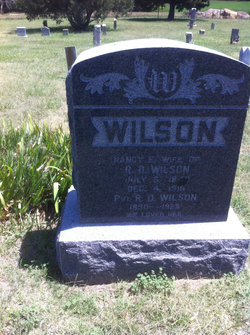
| Description | : | Oberlin Herald, September 25, 1930 Frank Wilson, son of Robert D. and Nancy Wilson, was born in Thayer County, Nebraska November 11, 1881 and died at his home near Selden, Kansas, September 21, 1930, aged 48 years, 10 months, and 10 days. He was united in marriage to Miss Anna (Headley) English March 1, 1924. Frank was a kind father and husband, and will be greatly missed by all. He was a big hearted fellow who was always ready to help in time of need or do a deed of kindness. He leaves to mourn his death, his wife, Mrs. Anna Wilson;... Read More |
frequently asked questions (FAQ):
-
Where is Frank Wilson's memorial?
Frank Wilson's memorial is located at: East Lawn Elk Grove Memorial Park, Elk Grove, Sacramento County, USA.
-
When did Frank Wilson death?
Frank Wilson death on 21 Sep 1930 in Selden, Sheridan County, Kansas, USA
-
Where are the coordinates of the Frank Wilson's memorial?
Latitude: 38.4282608
Longitude: -121.3969955
Family Members:
Parent
Spouse
Siblings
Children
Flowers:
Nearby Cemetories:
1. East Lawn Elk Grove Memorial Park
Elk Grove, Sacramento County, USA
Coordinate: 38.4282608, -121.3969955
2. San Joaquin Cemetery
Sacramento, Sacramento County, USA
Coordinate: 38.4387665, -121.4034653
3. Elk Grove Cosumnes-Cemetery
Elk Grove, Sacramento County, USA
Coordinate: 38.4088593, -121.3875504
4. Hilltop Cemetery
Elk Grove, Sacramento County, USA
Coordinate: 38.4156490, -121.3534950
5. Chua Phuoc Thien Temple Columbarium
Sacramento, Sacramento County, USA
Coordinate: 38.4555400, -121.3345500
6. Pleasant Grove Cemetery
Elk Grove, Sacramento County, USA
Coordinate: 38.4302220, -121.3107670
7. Sacramento Pet Cemetery
Sacramento, Sacramento County, USA
Coordinate: 38.4815870, -121.3402080
8. Franklin Cemetery
Franklin, Sacramento County, USA
Coordinate: 38.3761749, -121.4558029
9. Elder Creek Cemetery
Florin, Sacramento County, USA
Coordinate: 38.5111008, -121.4169006
10. Home of Peace Cemetery
Sacramento, Sacramento County, USA
Coordinate: 38.5137558, -121.4382782
11. Tinh Xa Ngoc An Temple Columbarium
Sacramento, Sacramento County, USA
Coordinate: 38.5190200, -121.4159500
12. Sacramento Memorial Lawn Cemetery
Sacramento, Sacramento County, USA
Coordinate: 38.5146484, -121.4380341
13. Sacramento County Veterans Memorial Cemetery
Sacramento, Sacramento County, USA
Coordinate: 38.5252838, -121.4239120
14. Quiet Haven Memorial Park Cemetery
Sacramento, Sacramento County, USA
Coordinate: 38.5109711, -121.3245621
15. Sacramento County Cemetery
Sacramento County, USA
Coordinate: 38.5267900, -121.4233700
16. Russian Orthodox Cemetery
Sacramento, Sacramento County, USA
Coordinate: 38.5268800, -121.4244300
17. Sacramento County Hospital Cemetery
Sacramento, Sacramento County, USA
Coordinate: 38.5289300, -121.4239100
18. Bellview Cemetery
Sacramento, Sacramento County, USA
Coordinate: 38.5153580, -121.3257446
19. Saint Mary's Catholic Cemetery and Mausoleum
Sacramento, Sacramento County, USA
Coordinate: 38.5298900, -121.4261200
20. Union Cemetery
Sacramento County, USA
Coordinate: 38.4477997, -121.2619019
21. Saint Rose Cemetery (Defunct)
Sacramento, Sacramento County, USA
Coordinate: 38.5208015, -121.4672012
22. Point Pleasant Cemetery
Point Pleasant, Sacramento County, USA
Coordinate: 38.3308525, -121.4638290
23. Camellia Memorial Lawn Cemetery
Sacramento, Sacramento County, USA
Coordinate: 38.5242004, -121.3097000
24. Hicksville Cemetery
Hicksville, Sacramento County, USA
Coordinate: 38.3257942, -121.3190765


