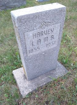
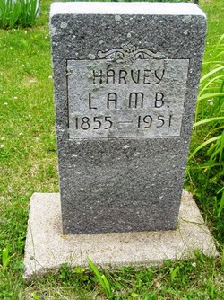
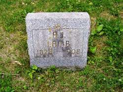
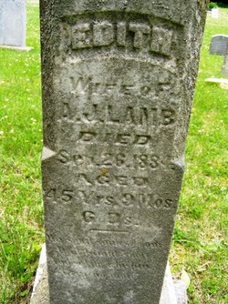
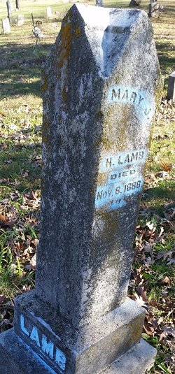
Harvey Lamb
| Birth | : | 10 Sep 1855 Illinois, USA |
| Death | : | 23 Sep 1951 Boone County, Iowa, USA |
| Burial | : | Oakwood Cemetery, Osawatomie, Miami County, USA |
| Coordinate | : | 38.5024300, -94.9510300 |
| Description | : | In 1863 he came to Boone with his parents in a covered ox wagon driving a herd of cattle. The family settled on a homestead northwest of Boone, living in a log house. Their only means of light was the grease lamp and their heat came from an open fireplace. Fires were lighted with a brimstone rock. Oxen were used for farming and grain was cut with a cradle. Threshing was done by having livestock walk over the grain. Mr Lamb married Mary Johnson. Three sons and a daughter were born to the union. ... Read More |
frequently asked questions (FAQ):
-
Where is Harvey Lamb's memorial?
Harvey Lamb's memorial is located at: Oakwood Cemetery, Osawatomie, Miami County, USA.
-
When did Harvey Lamb death?
Harvey Lamb death on 23 Sep 1951 in Boone County, Iowa, USA
-
Where are the coordinates of the Harvey Lamb's memorial?
Latitude: 38.5024300
Longitude: -94.9510300
Family Members:
Parent
Spouse
Siblings
Children
Flowers:
Nearby Cemetories:
1. Oakwood Cemetery
Osawatomie, Miami County, USA
Coordinate: 38.5024300, -94.9510300
2. Brown Cemetery
Osawatomie, Miami County, USA
Coordinate: 38.4980300, -94.9566500
3. Elmdale Cemetery
Osawatomie, Miami County, USA
Coordinate: 38.5017014, -94.9381027
4. Osawatomie State Hospital Burial Ground
Osawatomie, Miami County, USA
Coordinate: 38.5128600, -94.9326300
5. Indianapolis Cemetery
Osawatomie, Miami County, USA
Coordinate: 38.5046997, -94.9931030
6. Osawatomie Cemetery
Osawatomie, Miami County, USA
Coordinate: 38.5355988, -94.9377975
7. Miami Memorial Gardens
Paola, Miami County, USA
Coordinate: 38.5337100, -94.9221400
8. Crescent Hill Cemetery
Osawatomie, Miami County, USA
Coordinate: 38.4513700, -94.9705800
9. Mount Nebo Family Cemetery
Osawatomie Township, Miami County, USA
Coordinate: 38.4540400, -94.9208400
10. Whiteford Cemetery
Osawatomie, Miami County, USA
Coordinate: 38.4618988, -94.8992004
11. Spring Grove Quaker Cemetery
Miami County, USA
Coordinate: 38.4409600, -95.0185100
12. Green Valley Cemetery
Miami County, USA
Coordinate: 38.4700012, -95.0472031
13. Paola Cemetery
Paola, Miami County, USA
Coordinate: 38.5704000, -94.8873000
14. Beagle Cemetery
Beagle, Miami County, USA
Coordinate: 38.4178300, -94.9493400
15. Mannen Cemetery
Stanton, Miami County, USA
Coordinate: 38.5731010, -95.0113983
16. Debrick Cemetery
Miami County, USA
Coordinate: 38.4757996, -94.8432999
17. Ursuline Cemetery
Paola, Miami County, USA
Coordinate: 38.5678500, -94.8676400
18. Stanton Cemetery
Stanton, Miami County, USA
Coordinate: 38.5426000, -95.0596100
19. Lockhart Cemetery
Beagle, Miami County, USA
Coordinate: 38.4112400, -94.9828500
20. Miami County Poor Farm Cemetery
Paola, Miami County, USA
Coordinate: 38.5943420, -94.9193018
21. Shively Cemetery
Rantoul, Franklin County, USA
Coordinate: 38.5159500, -95.0747400
22. Holy Cross Cemetery
Paola, Miami County, USA
Coordinate: 38.5628014, -94.8482971
23. Chandler Family Cemetery
Beagle, Miami County, USA
Coordinate: 38.4057600, -94.9951200
24. Mound Creek Cemetery
Beagle, Miami County, USA
Coordinate: 38.3958015, -94.9760971

