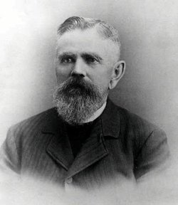
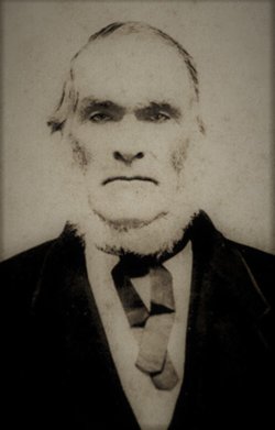
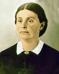
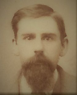
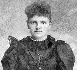
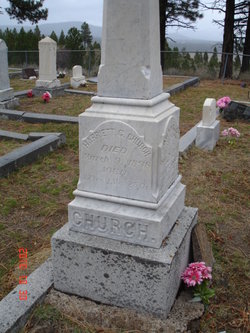
Isaac Sattley Church
| Birth | : | 25 Oct 1829 Ferrisburg, Addison County, Vermont, USA |
| Death | : | 18 Apr 1914 Sierra City, Sierra County, California, USA |
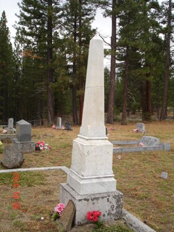
| Burial | : | Sattley Cemetery, Sattley, Sierra County, USA |
| Coordinate | : | 39.6214000, -120.4225500 |
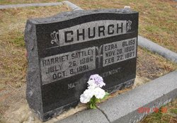
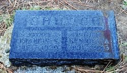
| Inscription | : | ISAAC S CHURCH |
| Description | : | Author: Fariss & Smith (1882) ISAAC S. CHURCH.—Mr. Church was born October 25, 1829, at Ferrisburg, Vermont. He came to California, via Panama, in the spring of 1850. He mined a short time at Horse Shoe Bend on the Merced river, and then went to Nelson Point on Nelson creek. He finally went to Downieville, and in 1851 was fluming the river. In the fall he began packing from Marysville, which he followed for ten years. He went east in 1859, returned in 1860, and located in Sierra valley; and has the oldest patent for land in the valley. He was... Read More |
frequently asked questions (FAQ):
-
Where is Isaac Sattley Church's memorial?
Isaac Sattley Church's memorial is located at: Sattley Cemetery, Sattley, Sierra County, USA.
-
When did Isaac Sattley Church death?
Isaac Sattley Church death on 18 Apr 1914 in Sierra City, Sierra County, California, USA
-
Where are the coordinates of the Isaac Sattley Church's memorial?
Latitude: 39.6214000
Longitude: -120.4225500
Family Members:
Parent
Spouse
Siblings
Children
Flowers:
Nearby Cemetories:
1. Sattley Cemetery
Sattley, Sierra County, USA
Coordinate: 39.6214000, -120.4225500
2. Sierraville Cemetery
Sierraville, Sierra County, USA
Coordinate: 39.5842018, -120.3786011
3. Summers Family Cemetery
Calpine, Sierra County, USA
Coordinate: 39.6861940, -120.4355350
4. Westside-Sharkey Cemetery
Beckworth, Plumas County, USA
Coordinate: 39.7378006, -120.3867035
5. Mountain View Cemetery
Loyalton, Sierra County, USA
Coordinate: 39.6718490, -120.2496190
6. Sierra City Cemetery
Sierra City, Sierra County, USA
Coordinate: 39.5663900, -120.6408300
7. Shady Grove Cemetery
Portola, Plumas County, USA
Coordinate: 39.8072014, -120.4593964
8. Whispering Pines Cemetery
Beckworth, Plumas County, USA
Coordinate: 39.8252983, -120.4180984
9. Meadow Lake Cemetery
Summit City, Nevada County, USA
Coordinate: 39.4123400, -120.5079700
10. Mohawk Cemetery
Mohawk, Plumas County, USA
Coordinate: 39.7791060, -120.6384200
11. Johnsville Cemetery
Johnsville, Plumas County, USA
Coordinate: 39.7627983, -120.6913986
12. Vinton Cemetery
Vinton, Plumas County, USA
Coordinate: 39.8011017, -120.1592026
13. Chilcoot Cemetery
Chilcoot, Plumas County, USA
Coordinate: 39.7966800, -120.1254400
14. Fall Creek Cemetery
Camp Spaulding, Nevada County, USA
Coordinate: 39.3806200, -120.6619410
15. Graniteville Cemetery
Graniteville, Nevada County, USA
Coordinate: 39.4395860, -120.7462590
16. Cromberg Cemetery
Cromberg, Plumas County, USA
Coordinate: 39.8535995, -120.6947021
17. Downieville Cemetery
Downieville, Sierra County, USA
Coordinate: 39.5676700, -120.8252390
18. Donner Memorial State Park
Truckee, Nevada County, USA
Coordinate: 39.3246040, -120.2330160
19. Donner Party Camp at Alder Creek Valley
Truckee, Nevada County, USA
Coordinate: 39.3216670, -120.2327500
20. Crystal Peak Cemetery
Verdi, Washoe County, USA
Coordinate: 39.5250310, -119.9984690
21. Sierra Mountains Cemetery
Truckee, Nevada County, USA
Coordinate: 39.3342018, -120.1772003
22. Catholic Cemetery
Truckee, Nevada County, USA
Coordinate: 39.3319931, -120.1805801
23. Boca Cemetery
Boca, Nevada County, USA
Coordinate: 39.3870510, -120.0922310
24. Brickelltown Cemetery
Truckee, Nevada County, USA
Coordinate: 39.3248030, -120.1854090

