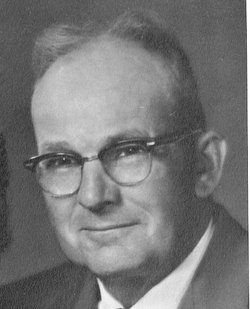
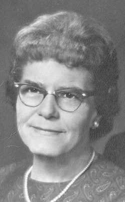
James Lowell “Jim” Hundley
| Birth | : | 4 Feb 1935 Horton, Brown County, Kansas, USA |
| Death | : | 19 May 2014 Oskaloosa, Jefferson County, Kansas, USA |
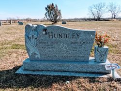
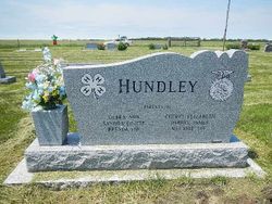
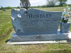
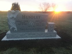
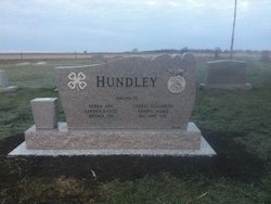
| Burial | : | Wheatland Cemetery, Atchison County, USA |
| Coordinate | : | 39.6453018, -95.5633011 |
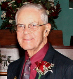
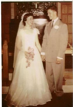
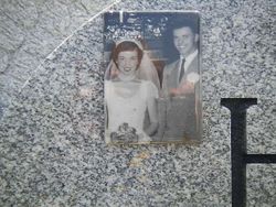
| Description | : | James Lowell Hundley, 79, of Horton, KS, died Monday, May 19, 2014 at Hickory Pointe Care and Rehabilitation Center at Oskaloosa, KS. He was born February 4, 1935 to William (Clay) and Elizabeth (Pearl) Moore Hundley, of Horton, KS, the fourth of eight children. He graduated from Atchison County Community High School in 1953. He received his Bachelor of Science and Master of Science degrees in Agricultural Education from Kansas State University. Jim married Shirley Marsh on May 26, 1956 in Manhattan, KS. This union was blessed with six children, Debbie, Sandra, Brenda, Cheryl, Darryl and Melanie. |
frequently asked questions (FAQ):
-
Where is James Lowell “Jim” Hundley's memorial?
James Lowell “Jim” Hundley's memorial is located at: Wheatland Cemetery, Atchison County, USA.
-
When did James Lowell “Jim” Hundley death?
James Lowell “Jim” Hundley death on 19 May 2014 in Oskaloosa, Jefferson County, Kansas, USA
-
Where are the coordinates of the James Lowell “Jim” Hundley's memorial?
Latitude: 39.6453018
Longitude: -95.5633011
Family Members:
Parent
Spouse
Siblings
Flowers:
Nearby Cemetories:
1. Wheatland Cemetery
Atchison County, USA
Coordinate: 39.6453018, -95.5633011
2. Horton Cemetery
Horton, Brown County, USA
Coordinate: 39.6573982, -95.5126419
3. Spring Hill Cemetery
Whiting, Jackson County, USA
Coordinate: 39.6021996, -95.6121979
4. Kennekuk Cemetery
Horton, Brown County, USA
Coordinate: 39.6533012, -95.4875031
5. Saint Leos Catholic Cemetery
Horton, Brown County, USA
Coordinate: 39.6667595, -95.4889603
6. Jessepe Indian Cemetery
Horton, Brown County, USA
Coordinate: 39.6715000, -95.6438000
7. Grant-Mjessepe Cemetery
Horton, Brown County, USA
Coordinate: 39.6663000, -95.6576000
8. Brush Creek Cemetery
Kennekuk, Atchison County, USA
Coordinate: 39.6096992, -95.4702988
9. Lutheran Cemetery
Mercier, Brown County, USA
Coordinate: 39.7250500, -95.6000710
10. Saint Peters Cemetery
Mercier, Brown County, USA
Coordinate: 39.7247009, -95.6016998
11. Wills Cemetery
Muscotah, Atchison County, USA
Coordinate: 39.5596400, -95.5002800
12. Muscotah Cemetery
Muscotah, Atchison County, USA
Coordinate: 39.5539017, -95.5121994
13. Kennekuk Church Cemetery
Horton, Brown County, USA
Coordinate: 39.7074600, -95.6672300
14. All Saints Cemetery
Everest, Brown County, USA
Coordinate: 39.7008018, -95.4507980
15. Carr Cemetery
Everest, Brown County, USA
Coordinate: 39.7254600, -95.4521600
16. Estes Cemetery
Jackson County, USA
Coordinate: 39.5346985, -95.6168976
17. Netawaka Cemetery
Netawaka, Jackson County, USA
Coordinate: 39.6075300, -95.7223700
18. Forest Grove Cemetery
Effingham, Atchison County, USA
Coordinate: 39.5802689, -95.4171524
19. Zion Lutheran Church Cemetery
Everest, Brown County, USA
Coordinate: 39.7290611, -95.4336777
20. Chain Family Cemetery
Huron, Atchison County, USA
Coordinate: 39.6238518, -95.3964767
21. Powhattan Cemetery
Powhattan, Brown County, USA
Coordinate: 39.7681007, -95.6288986
22. Page Cemetery
Brown County, USA
Coordinate: 39.7000600, -95.4015400
23. Claytonville Cemetery
Horton, Brown County, USA
Coordinate: 39.7766991, -95.5046997
24. Thompson-Burns Cemetery
Whiting, Jackson County, USA
Coordinate: 39.5062100, -95.5980710

