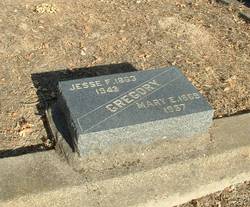
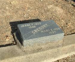
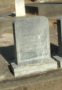
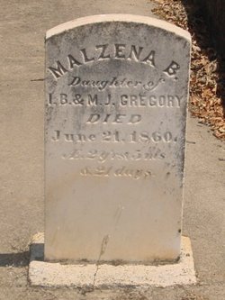
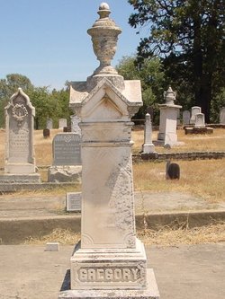
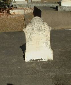
Jesse Foote Gregory
| Birth | : | 17 Jan 1863 Ione, Amador County, California, USA |
| Death | : | 28 Aug 1943 Ione, Amador County, California, USA |
| Burial | : | St. Julian's Churchyard, Benniworth, East Lindsey District, England |
| Coordinate | : | 53.3192500, -0.1859000 |
| Plot | : | Section 7 Row A Plot 30-B |
frequently asked questions (FAQ):
-
Where is Jesse Foote Gregory's memorial?
Jesse Foote Gregory's memorial is located at: St. Julian's Churchyard, Benniworth, East Lindsey District, England.
-
When did Jesse Foote Gregory death?
Jesse Foote Gregory death on 28 Aug 1943 in Ione, Amador County, California, USA
-
Where are the coordinates of the Jesse Foote Gregory's memorial?
Latitude: 53.3192500
Longitude: -0.1859000
Family Members:
Parent
Spouse
Siblings
Children
Flowers:
Nearby Cemetories:
1. St. Julian's Churchyard
Benniworth, East Lindsey District, England
Coordinate: 53.3192500, -0.1859000
2. St. Andrew's Churchyard
Donington on Bain, East Lindsey District, England
Coordinate: 53.3294810, -0.1475658
3. Station Road Cemetery
Donington on Bain, East Lindsey District, England
Coordinate: 53.3270700, -0.1429600
4. St. Helen's Churchyard
Louth, East Lindsey District, England
Coordinate: 53.3464700, -0.1539300
5. St. Helen's Churchyard
Biscathorpe, East Lindsey District, England
Coordinate: 53.3464850, -0.1538460
6. St. Mary's Churchyard
Hainton, East Lindsey District, England
Coordinate: 53.3433440, -0.2290450
7. St. Mary's Churchyard
East Barkwith, East Lindsey District, England
Coordinate: 53.3175900, -0.2514400
8. St. Helen Churchyard
Burgh on Bain, East Lindsey District, England
Coordinate: 53.3604060, -0.1644810
9. All Saints Churchyard
Goulceby, East Lindsey District, England
Coordinate: 53.2976400, -0.1229300
10. All Saints Old Churchyard
Goulceby, East Lindsey District, England
Coordinate: 53.2976700, -0.1228900
11. St. Peter's Churchyard
Gayton le Wold, East Lindsey District, England
Coordinate: 53.3562320, -0.1431270
12. All Saints Churchyard
Great Sturton, East Lindsey District, England
Coordinate: 53.2730000, -0.1789600
13. St. Stephen's Churchyard
Hatton, East Lindsey District, England
Coordinate: 53.2758321, -0.2357834
14. St. Peter's Churchyard
Asterby, East Lindsey District, England
Coordinate: 53.2975600, -0.1050000
15. All Saints Churchyard
Sixhills, West Lindsey District, England
Coordinate: 53.3679800, -0.2426600
16. St. Swithin's Churchyard
Baumber, East Lindsey District, England
Coordinate: 53.2530300, -0.1699400
17. St Mary & St Peters Churchyard
Ludford, East Lindsey District, England
Coordinate: 53.3868330, -0.1963460
18. St. Giles' Churchyard
Langton by Wragby, East Lindsey District, England
Coordinate: 53.2764400, -0.2777700
19. St. Margaret's Churchyard
Hemingby, East Lindsey District, England
Coordinate: 53.2524100, -0.1469300
20. St. Thomas the Apostle Churchyard
North Willingham, West Lindsey District, England
Coordinate: 53.3786700, -0.2524900
21. St Faith Church
Kelstern, East Lindsey District, England
Coordinate: 53.3911200, -0.1196310
22. All Saints Churchyard
Legbourne, East Lindsey District, England
Coordinate: 53.3390478, -0.0525820
23. All Saints Churchyard
Holton-cum-Beckering, West Lindsey District, England
Coordinate: 53.3167370, -0.3257753
24. All Saints Churchyard
Gautby, East Lindsey District, England
Coordinate: 53.2359800, -0.2413800

