| Birth | : | 13 Jul 1857 Oldenburg, Stadtkreis Oldenburg, Lower Saxony (Niedersachsen), Germany |
| Death | : | 21 Jun 1934 Saint Francis, Cheyenne County, Kansas, USA |
| Burial | : | Waikumete Cemetery & Crematorium, Glen Eden, Auckland Council, New Zealand |
| Coordinate | : | -36.9025130, 174.6539610 |
| Plot | : | Sec 2, Lot 81 |
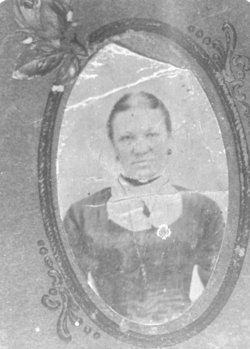
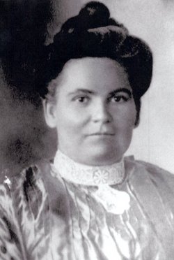
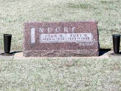
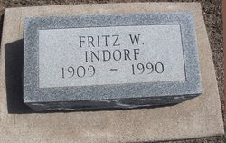
| Description | : | George Indorf was born at Oldenberg, Bremen-Haven Germany, July 13, 1857 and departed this life at St Francis, Kansas, June 21, 1934, being almost 77 years of age. At the age of 23 he migrated to the new world of promise and settled in Webster county, Nebraska in 1880. Three years later he was united in marriage to Mary Sund, April 1, 1883. To this union seven children were born; Katherine Karnatz, Burr Oak, Kansas; John, St Francis, Kansas; Mrs Mary Kelly, Mrs Annie Harlow, Casper, Wyoming; Mrs Amelia Karnatz, Bostwick, Nebraska; Mrs Maggie Wilton, Superior, Nebraska; and George... Read More |
frequently asked questions (FAQ):
-
Where is Johan “George” Indorf's memorial?
Johan “George” Indorf's memorial is located at: Waikumete Cemetery & Crematorium, Glen Eden, Auckland Council, New Zealand.
-
When did Johan “George” Indorf death?
Johan “George” Indorf death on 21 Jun 1934 in Saint Francis, Cheyenne County, Kansas, USA
-
Where are the coordinates of the Johan “George” Indorf's memorial?
Latitude: -36.9025130
Longitude: 174.6539610
Family Members:
Spouse
Children
Flowers:
Nearby Cemetories:
1. Waikumete Cemetery & Crematorium
Glen Eden, Auckland Council, New Zealand
Coordinate: -36.9025130, 174.6539610
2. Auckland Provincial Memorial
Glen Eden, Auckland Council, New Zealand
Coordinate: -36.9020700, 174.6548500
3. Oratia Cemetery
Oratia, Auckland Council, New Zealand
Coordinate: -36.9108800, 174.6218900
4. Settlers Cemetery
Oratia, Auckland Council, New Zealand
Coordinate: -36.9108770, 174.6218870
5. George Maxwell Memorial Cemetery
Avondale, Auckland Council, New Zealand
Coordinate: -36.8890320, 174.6849320
6. Saint Ninians Churchyard
Avondale, Auckland Council, New Zealand
Coordinate: -36.8994510, 174.6966690
7. Oratia Combined Church Cemetery
Oratia, Auckland Council, New Zealand
Coordinate: -36.9196396, 174.6119362
8. Swanson Cemetery
Swanson, Auckland Council, New Zealand
Coordinate: -36.8718400, 174.5836200
9. St. Luke's Anglican Church Cemetery
Mount Albert, Auckland Council, New Zealand
Coordinate: -36.8785540, 174.7290400
10. Hillsborough Cemetery
Hillsborough, Auckland Council, New Zealand
Coordinate: -36.9246600, 174.7524030
11. Saint Andrew's Churchyard
Epsom, Auckland Council, New Zealand
Coordinate: -36.8937200, 174.7654100
12. Mount Eden Stockade Cemetery
Mount Eden, Auckland Council, New Zealand
Coordinate: -36.8678370, 174.7666430
13. Symonds Street Cemetery
Auckland, Auckland Council, New Zealand
Coordinate: -36.8582828, 174.7636628
14. Hobsonville Church and Settlers' Cemetery
Hobsonville, Auckland Council, New Zealand
Coordinate: -36.8000500, 174.6551800
15. St Mark's Anglican Church Cemetery
Remuera, Auckland Council, New Zealand
Coordinate: -36.8729300, 174.7801600
16. St. Peter's Anglican Cemetery
Ōnehunga, Auckland Council, New Zealand
Coordinate: -36.9227113, 174.7847550
17. Our Lady of the Assumption Catholic Church
Ōnehunga, Auckland Council, New Zealand
Coordinate: -36.9223690, 174.7884530
18. Onehunga Catholic Cemetery
Ōnehunga, Auckland Council, New Zealand
Coordinate: -36.9224360, 174.7884560
19. Mangere Piriti Urupā St. James Churchyard
Mangere, Auckland Council, New Zealand
Coordinate: -36.9418970, 174.7835260
20. Pompallier Cemetery
Birkenhead, Auckland Council, New Zealand
Coordinate: -36.8036900, 174.7251200
21. Waikaraka Cemetery
Ōnehunga, Auckland Council, New Zealand
Coordinate: -36.9297140, 174.7967170
22. Birkenhead-Glenfield Cemetery
Birkenhead, Auckland Council, New Zealand
Coordinate: -36.7989000, 174.7234700
23. St. Stephen's Churchyard
Auckland, Auckland Council, New Zealand
Coordinate: -36.8504860, 174.7899970
24. Mangere Lawn Cemetery
Mangere, Auckland Council, New Zealand
Coordinate: -36.9626150, 174.7857000

