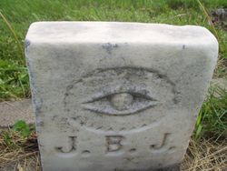
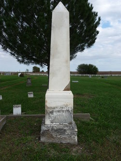
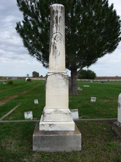
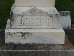
John B Joseph
| Birth | : | 1862 Blairstown, Benton County, Iowa, USA |
| Death | : | 8 Oct 1888 Barneston, Gage County, Nebraska, USA |
| Burial | : | Iron River City Cemetery, Iron River, Bayfield County, USA |
| Coordinate | : | 46.5668983, -91.3981018 |
frequently asked questions (FAQ):
-
Where is John B Joseph's memorial?
John B Joseph's memorial is located at: Iron River City Cemetery, Iron River, Bayfield County, USA.
-
When did John B Joseph death?
John B Joseph death on 8 Oct 1888 in Barneston, Gage County, Nebraska, USA
-
Where are the coordinates of the John B Joseph's memorial?
Latitude: 46.5668983
Longitude: -91.3981018
Family Members:
Parent
Siblings
Flowers:
Nearby Cemetories:
1. Iron River City Cemetery
Iron River, Bayfield County, USA
Coordinate: 46.5668983, -91.3981018
2. Saint Michaels Cemetery
Iron River, Bayfield County, USA
Coordinate: 46.5602989, -91.4150009
3. Valley View Cemetery
Iron River, Bayfield County, USA
Coordinate: 46.6227989, -91.3600006
4. Pine Glade Cemetery
Oulu, Bayfield County, USA
Coordinate: 46.6232986, -91.5113983
5. Hillcrest Cemetery
Oulu, Bayfield County, USA
Coordinate: 46.6507300, -91.5097200
6. Pine Ridge Cemetery
Brule, Douglas County, USA
Coordinate: 46.5363998, -91.5749969
7. Oulu Lutheran Cemetery
Oulu, Bayfield County, USA
Coordinate: 46.6549988, -91.5318985
8. Hillside Cemetery
Port Wing, Bayfield County, USA
Coordinate: 46.6963997, -91.4113998
9. Ever-Rest Cemetery
Waino, Douglas County, USA
Coordinate: 46.6389008, -91.5631027
10. Delta Cemetery
Delta, Bayfield County, USA
Coordinate: 46.4729500, -91.2398911
11. Saint Florians Cemetery
Ino, Bayfield County, USA
Coordinate: 46.5161438, -91.1750412
12. Resthaven Cemetery
Cloverland, Douglas County, USA
Coordinate: 46.6925011, -91.5738983
13. Fish Creek Cemetery
Ino, Bayfield County, USA
Coordinate: 46.5241165, -91.1252823
14. Saint Anns Cemetery
Maple, Douglas County, USA
Coordinate: 46.5821080, -91.6784190
15. Greenwood Cemetery
Port Wing, Bayfield County, USA
Coordinate: 46.7668991, -91.3886032
16. Saints Peter and Paul Catholic Cemetery
Moquah, Bayfield County, USA
Coordinate: 46.5698013, -91.0842972
17. Moquah Cemetery
Moquah, Bayfield County, USA
Coordinate: 46.5701980, -91.0731530
18. Saint Peters Cemetery
Benoit, Bayfield County, USA
Coordinate: 46.5236015, -91.0781021
19. Moquah National Cemetery
Moquah, Bayfield County, USA
Coordinate: 46.5702860, -91.0718390
20. Covenant Cemetery
Cloverland, Douglas County, USA
Coordinate: 46.6768600, -91.6846400
21. Poplar Creek Cemetery
Dewey, Douglas County, USA
Coordinate: 46.3478400, -91.4770100
22. Highland Memorial Cemetery
Winneboujou, Douglas County, USA
Coordinate: 46.4168900, -91.6451900
23. Barnes Memorial Cemetery
Barnes, Bayfield County, USA
Coordinate: 46.3534393, -91.5132294
24. Benoit Cemetery
Benoit, Bayfield County, USA
Coordinate: 46.5026016, -91.0794983

