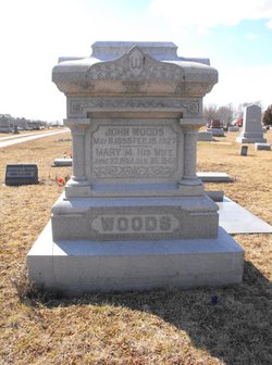
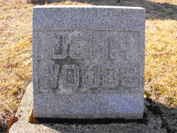
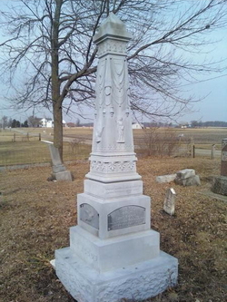
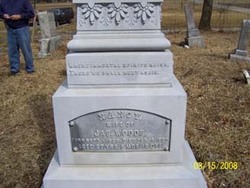
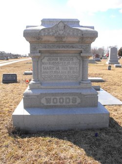
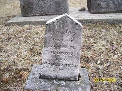
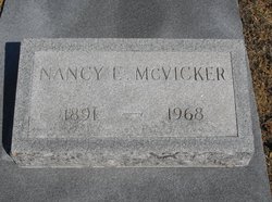
John W. Woods
| Birth | : | 8 May 1855 Ohio, USA |
| Death | : | 16 Feb 1927 Grant County, Indiana, USA |
| Burial | : | Jefferson Cemetery, Upland, Grant County, USA |
| Coordinate | : | 40.4801941, -85.5239792 |
| Plot | : | Section D |
| Description | : | John married Mary M. Roads/Rhodes on May 8, 1875 in Grant County, Indiana. |
frequently asked questions (FAQ):
-
Where is John W. Woods's memorial?
John W. Woods's memorial is located at: Jefferson Cemetery, Upland, Grant County, USA.
-
When did John W. Woods death?
John W. Woods death on 16 Feb 1927 in Grant County, Indiana, USA
-
Where are the coordinates of the John W. Woods's memorial?
Latitude: 40.4801941
Longitude: -85.5239792
Family Members:
Parent
Spouse
Children
Flowers:
Nearby Cemetories:
1. Jefferson Cemetery
Upland, Grant County, USA
Coordinate: 40.4801941, -85.5239792
2. Ballinger Cemetery
Upland, Grant County, USA
Coordinate: 40.4774437, -85.5230713
3. Atkinson Cemetery
Upland, Grant County, USA
Coordinate: 40.5003560, -85.5020860
4. Reade Burial Site
Upland, Grant County, USA
Coordinate: 40.4579590, -85.4944370
5. Hults Cemetery
Upland, Grant County, USA
Coordinate: 40.5224020, -85.5048540
6. Mittank Cemetery
Upland, Grant County, USA
Coordinate: 40.4358177, -85.5134506
7. McCormick Cemetery
Jonesboro, Grant County, USA
Coordinate: 40.4546967, -85.5833054
8. Shiloh Cemetery
Upland, Grant County, USA
Coordinate: 40.4371986, -85.4843979
9. Levengood Cemetery
Upland, Grant County, USA
Coordinate: 40.5080643, -85.4653931
10. Puckett Cemetery
Marion, Grant County, USA
Coordinate: 40.5246544, -85.5733109
11. Gas City Cemetery
Gas City, Grant County, USA
Coordinate: 40.4803960, -85.6023840
12. Bethel Cemetery
Jonesboro, Grant County, USA
Coordinate: 40.4557910, -85.5971240
13. Leffler Cemetery
Washington Township, Blackford County, USA
Coordinate: 40.4996400, -85.4454880
14. Walnut Creek Cemetery
Gas City, Grant County, USA
Coordinate: 40.4949570, -85.6062170
15. McKinney Lugar Creek Cemetery
Marion, Grant County, USA
Coordinate: 40.5388680, -85.5644150
16. Paxton Farm Cemetery
Grant County, USA
Coordinate: 40.5240288, -85.5993729
17. Oak Chapel Cemetery
Upland, Grant County, USA
Coordinate: 40.5324135, -85.4578934
18. Miles Cemetery
Hartford City, Blackford County, USA
Coordinate: 40.4795303, -85.4271317
19. Mount Hope Cemetery
Gas City, Grant County, USA
Coordinate: 40.5049591, -85.6156311
20. Riverside Cemetery
Gas City, Grant County, USA
Coordinate: 40.4858017, -85.6226807
21. Griffin Cemetery
Home Corner, Grant County, USA
Coordinate: 40.5182037, -85.6174011
22. Burson Cemetery
Marion, Grant County, USA
Coordinate: 40.5531006, -85.5774994
23. Harmony Cemetery
Matthews, Grant County, USA
Coordinate: 40.3901176, -85.5093613
24. Marion National Cemetery
Marion, Grant County, USA
Coordinate: 40.5237732, -85.6303406

