
| Memorials | : | 0 |
| Location | : | Washington Township, Blackford County, USA |
| Coordinate | : | 40.4996400, -85.4454880 |
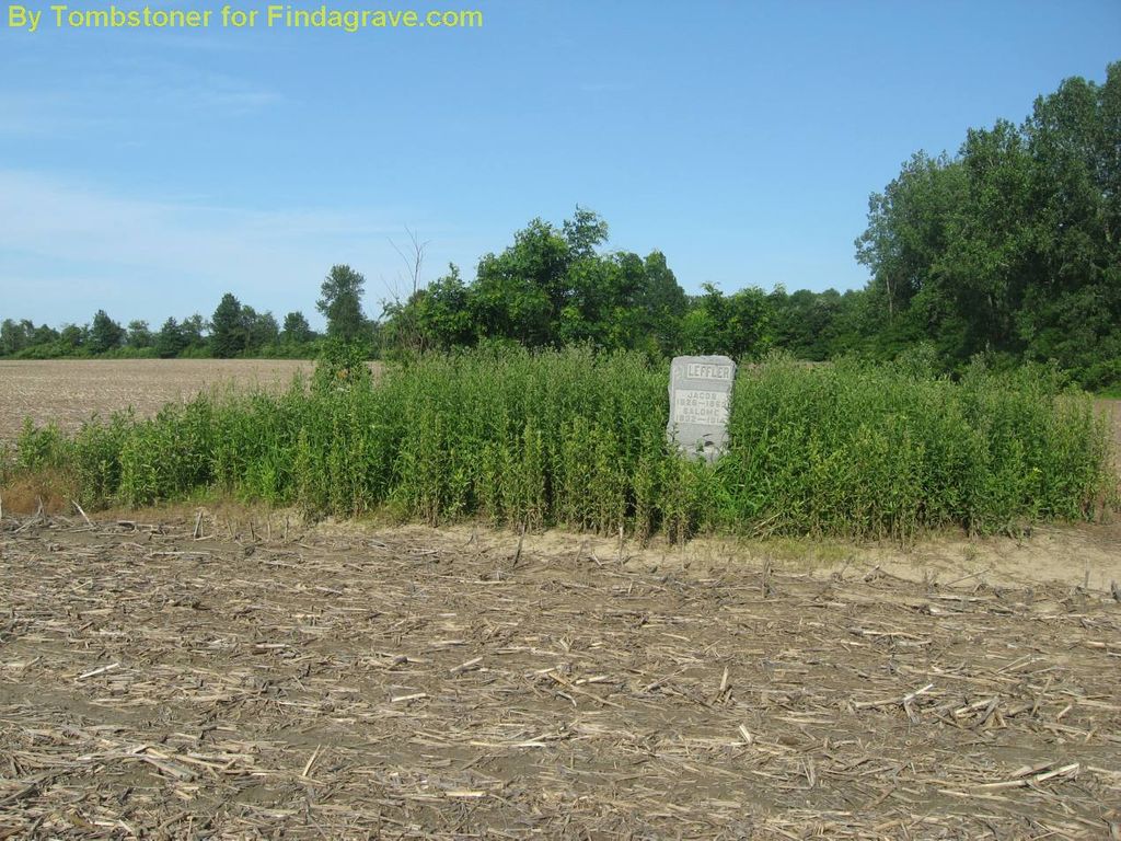
| Description | : | The cemetery is located in Washington Township (NW quadrant of the NW quadrant of the NW quadrant of Section 30 Township 24N Range 10E) on the east side of County Road 400 W about 0.2 miles south of its intersection with County Road 350 N. Indiana Cemetery Locations, Volume 2, published by the Indiana Genealogical Society (01 April 2006), gives the primary cemetery name as Leffler Cemetery with an alternate name of Tatman Cemetery. The cemetery is listed in the Cemetery and Burial Grounds Registry of the Indiana Department of Natural Resources (DNR) and in the State Historical... Read More |
frequently asked questions (FAQ):
-
Where is Leffler Cemetery?
Leffler Cemetery is located at County Road 400 W Washington Township, Blackford County ,Indiana , 47348USA.
-
Leffler Cemetery cemetery's updated grave count on graveviews.com?
0 memorials
-
Where are the coordinates of the Leffler Cemetery?
Latitude: 40.4996400
Longitude: -85.4454880

Nearby Cemetories:
1. Levengood Cemetery
Upland, Grant County, USA
Coordinate: 40.5080643, -85.4653931
2. Miles Cemetery
Hartford City, Blackford County, USA
Coordinate: 40.4795303, -85.4271317
3. Oak Chapel Cemetery
Upland, Grant County, USA
Coordinate: 40.5324135, -85.4578934
4. Shields Cemetery
Hartford City, Blackford County, USA
Coordinate: 40.4822830, -85.4018490
5. Kelly Cemetery
Washington Township, Blackford County, USA
Coordinate: 40.5342770, -85.4191110
6. Atkinson Cemetery
Upland, Grant County, USA
Coordinate: 40.5003560, -85.5020860
7. Stoll Cemetery
Washington Township, Blackford County, USA
Coordinate: 40.5046980, -85.3868470
8. Hults Cemetery
Upland, Grant County, USA
Coordinate: 40.5224020, -85.5048540
9. Center Cemetery
Roll, Blackford County, USA
Coordinate: 40.5305430, -85.3895290
10. Reade Burial Site
Upland, Grant County, USA
Coordinate: 40.4579590, -85.4944370
11. Jefferson Cemetery
Upland, Grant County, USA
Coordinate: 40.4801941, -85.5239792
12. Ballinger Cemetery
Upland, Grant County, USA
Coordinate: 40.4774437, -85.5230713
13. Balsley Cemetery
Hartford City, Blackford County, USA
Coordinate: 40.5635750, -85.4321520
14. Roll Cemetery
Roll, Blackford County, USA
Coordinate: 40.5520287, -85.3950500
15. Shiloh Cemetery
Upland, Grant County, USA
Coordinate: 40.4371986, -85.4843979
16. Schmidt Cemetery
Roll, Blackford County, USA
Coordinate: 40.5585136, -85.3850555
17. Lockett Cemetery
Washington Township, Blackford County, USA
Coordinate: 40.5565240, -85.3756020
18. North Cemetery (Defunct)
Hartford City, Blackford County, USA
Coordinate: 40.4542000, -85.3611000
19. Baptist Cemetery (Defunct)
Hartford City, Blackford County, USA
Coordinate: 40.4504840, -85.3610550
20. Herbaugh Cemetery
Hartford City, Blackford County, USA
Coordinate: 40.5008200, -85.3390700
21. Mittank Cemetery
Upland, Grant County, USA
Coordinate: 40.4358177, -85.5134506
22. Willman Cemetery
Hartford City, Blackford County, USA
Coordinate: 40.4563599, -85.3487091
23. Farrville Cemetery
Van Buren, Grant County, USA
Coordinate: 40.5816994, -85.4803009
24. Hartford City Cemetery
Hartford City, Blackford County, USA
Coordinate: 40.4499760, -85.3515060