
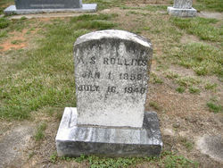
| Birth | : | 23 Sep 1877 Rutherford County, North Carolina, USA |
| Death | : | 2 Dec 1935 Dysartsville, McDowell County, North Carolina, USA |
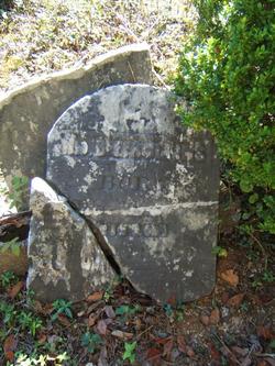
| Burial | : | Kirksey Family Cemetery, McDowell County, USA |
| Coordinate | : | 35.5810600, -81.8431900 |
| Description | : | North Carolina Death Certificate: Name: Josephine Kirksey Gender: Female Race: White Age: 58 Birth Date: 23 Sep 1877 Birth Place: Rutherford, North Carolina Death Date: 2 Dec 1935 Death Location: Union Mills, McDowell Spouse's Name: Fulton Kirksey Father's Name: Buy Rolands Mother's name: Mary Melton Informant: Miss Eva Kirksey, Dysartsville, NC Burial: Burke Co., NC Dec 3, 1935 |
frequently asked questions (FAQ):
-
Where is Louraine Josephine Rollins Kirksey's memorial?
Louraine Josephine Rollins Kirksey's memorial is located at: Kirksey Family Cemetery, McDowell County, USA.
-
When did Louraine Josephine Rollins Kirksey death?
Louraine Josephine Rollins Kirksey death on 2 Dec 1935 in Dysartsville, McDowell County, North Carolina, USA
-
Where are the coordinates of the Louraine Josephine Rollins Kirksey's memorial?
Latitude: 35.5810600
Longitude: -81.8431900
Family Members:
Parent
Spouse
Siblings

Children
Flowers:


Nearby Cemetories:
1. Kirksey Family Cemetery
McDowell County, USA
Coordinate: 35.5810600, -81.8431900
2. Freedom Baptist Church Cemetery
McDowell County, USA
Coordinate: 35.5883900, -81.8445700
3. Trinity United Methodist Church Cemetery
Dysartsville, McDowell County, USA
Coordinate: 35.5995270, -81.8644050
4. Dysartsville Baptist Church Cemetery
Dysartsville, McDowell County, USA
Coordinate: 35.6011400, -81.8697800
5. Silver Creek Knob
Burke County, USA
Coordinate: 35.5835000, -81.7970000
6. Epps Family Cemetery
McDowell County, USA
Coordinate: 35.5778020, -81.9016850
7. Ernie Mack Reed Memorial Cemetery
Silver Creek Township, Burke County, USA
Coordinate: 35.6197840, -81.8084640
8. Weast Cemetery
Sunshine, Rutherford County, USA
Coordinate: 35.5341320, -81.8145960
9. Fairview Church Cemetery
Forest City, Rutherford County, USA
Coordinate: 35.5409640, -81.8010940
10. Laurel Hill Baptist Church Cemetery
Nebo, McDowell County, USA
Coordinate: 35.6143120, -81.8984140
11. Poteet Family Cemetery
McDowell County, USA
Coordinate: 35.5774040, -81.9125020
12. Drucilla Independent Fundamental Cemetery
Dysartsville, McDowell County, USA
Coordinate: 35.6285700, -81.8821900
13. Golden Valley Church of the Brethren Cemetery
Sunshine, Rutherford County, USA
Coordinate: 35.5368800, -81.7974200
14. Cane Creek Baptist Church Cemetery
Union Mills, Rutherford County, USA
Coordinate: 35.5222250, -81.8530630
15. Mooney-Van Zandt Cemetery
Rutherford County, USA
Coordinate: 35.5335800, -81.7932500
16. Sunny Grove Baptist Church Cemetery
McDowell County, USA
Coordinate: 35.6271870, -81.8957620
17. Fork Creek Baptist Church Cemetery
Rutherford County, USA
Coordinate: 35.5249710, -81.8802872
18. Dysartsville Church of Christ Cemetery
Marion, McDowell County, USA
Coordinate: 35.6354600, -81.8890800
19. Brackettown Cemetery
McDowell County, USA
Coordinate: 35.5532990, -81.9207993
20. Sprouse Cemetery
Dysartsville, McDowell County, USA
Coordinate: 35.5723570, -81.9297430
21. Pinnacle Methodist Church Cemetery
Nebo, McDowell County, USA
Coordinate: 35.6492200, -81.8747900
22. Golden Valley United Methodist Church Cemetery
Bostic, Rutherford County, USA
Coordinate: 35.5203018, -81.7900009
23. Macedonia Baptist Church Cemetery
McDowell County, USA
Coordinate: 35.5770190, -81.9369820
24. Dixon Cemetery
McDowell County, USA
Coordinate: 35.6507988, -81.8861008