
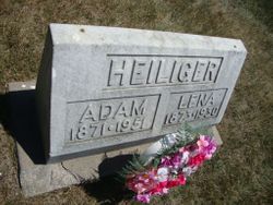
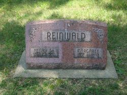
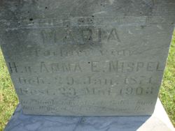
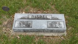
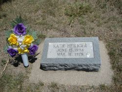
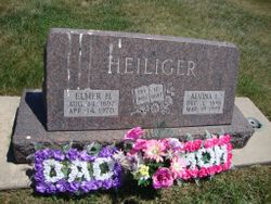
Magdalena “Lena” Nispel Heiliger
| Birth | : | 16 Mar 1873 Canada |
| Death | : | 16 Mar 1930 Plymouth, Jefferson County, Nebraska, USA |
| Burial | : | Woodlawn Cemetery, Plymouth, Jefferson County, USA |
| Coordinate | : | 40.2991982, -96.9906006 |
frequently asked questions (FAQ):
-
Where is Magdalena “Lena” Nispel Heiliger's memorial?
Magdalena “Lena” Nispel Heiliger's memorial is located at: Woodlawn Cemetery, Plymouth, Jefferson County, USA.
-
When did Magdalena “Lena” Nispel Heiliger death?
Magdalena “Lena” Nispel Heiliger death on 16 Mar 1930 in Plymouth, Jefferson County, Nebraska, USA
-
Where are the coordinates of the Magdalena “Lena” Nispel Heiliger's memorial?
Latitude: 40.2991982
Longitude: -96.9906006
Family Members:
Parent

Spouse

Siblings
Children
Flowers:


Nearby Cemetories:
1. Woodlawn Cemetery
Plymouth, Jefferson County, USA
Coordinate: 40.2991982, -96.9906006
2. Saint Pauls Evangelical Lutheran Cemetery
Plymouth, Jefferson County, USA
Coordinate: 40.3074989, -97.0085983
3. Immanuel Lutheran Cemetery
Plymouth, Jefferson County, USA
Coordinate: 40.3075430, -96.9529750
4. Megli-Yost Cemetery
Jefferson County, USA
Coordinate: 40.3064003, -97.0466995
5. Emmanuel Cemetery
Jefferson County, USA
Coordinate: 40.2910995, -97.0466995
6. Kilpatrick Cemetery
Plymouth, Jefferson County, USA
Coordinate: 40.2919006, -96.9338989
7. Old Plymouth Cemetery
Plymouth, Jefferson County, USA
Coordinate: 40.2621994, -97.0235977
8. Peace Lutheran Cemetery
Plymouth, Jefferson County, USA
Coordinate: 40.2868470, -97.0862410
9. Zion Lutheran Cemetery
Harbine, Jefferson County, USA
Coordinate: 40.2346610, -96.9350780
10. First Trinity Lutheran Cemetery
Beatrice, Gage County, USA
Coordinate: 40.3053600, -96.8794400
11. Saint Pauls Church of Christ Cemetery
Jefferson County, USA
Coordinate: 40.2478480, -97.0808630
12. Sparks Cemetery
Beatrice, Gage County, USA
Coordinate: 40.2485180, -96.8984970
13. Hildebrandt Cemetery
Jansen, Jefferson County, USA
Coordinate: 40.2225750, -97.0476330
14. Plummers Branch Cemetery
Swanton, Saline County, USA
Coordinate: 40.3866997, -97.0314026
15. Swan Valley Cemetery
Swanton, Saline County, USA
Coordinate: 40.3636017, -97.0832977
16. Harbine Cemetery
Harbine, Jefferson County, USA
Coordinate: 40.2042007, -96.9717026
17. Oak Grove Cemetery
De Witt, Saline County, USA
Coordinate: 40.4049988, -96.9483032
18. Freeman Cemetery
Beatrice, Gage County, USA
Coordinate: 40.2966933, -96.8435666
19. Ellis Cemetery
Beatrice, Gage County, USA
Coordinate: 40.2260017, -96.8785019
20. Hope Church Cemetery
Harbine, Jefferson County, USA
Coordinate: 40.1826480, -96.9540828
21. Thiessen Cemetery
Jansen, Jefferson County, USA
Coordinate: 40.1899650, -97.0640780
22. Homestead National Historical Park
Beatrice, Gage County, USA
Coordinate: 40.2864800, -96.8271100
23. Bower Cemetery
Jefferson County, USA
Coordinate: 40.2621994, -97.1517029
24. South Fork Cemetery
Saline County, USA
Coordinate: 40.3792000, -97.1331024