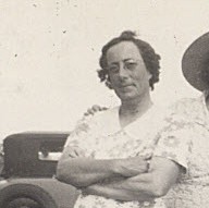
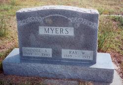
Nancy A. Pennington Myers
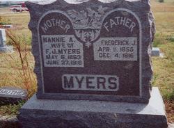
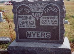
| Birth | : | 6 May 1863 Jefferson County, Missouri, USA |
| Death | : | 27 Jun 1916 Jewell County, Kansas, USA |
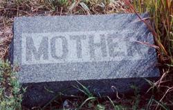
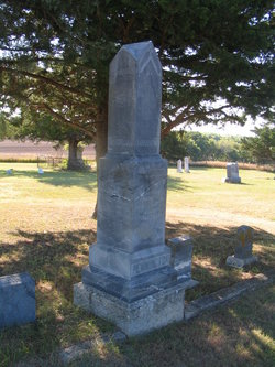
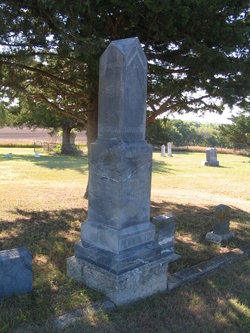
| Burial | : | Salem Cemetery, Esbon, Jewell County, USA |
| Coordinate | : | 39.8755989, -98.5006027 |
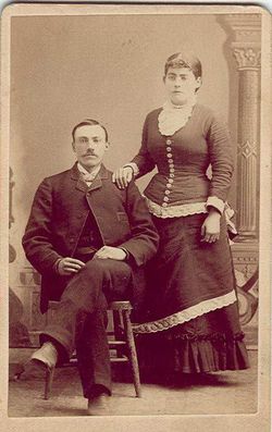
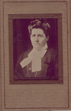
| Description | : | Nancy (or Nannie, as she was called), was the daughter of William Wisdom Pennington and Malinda Ogle. She died in White Mound Township, Jewell, KS and was buried June 29, 1916. |
frequently asked questions (FAQ):
-
Where is Nancy A. Pennington Myers's memorial?
Nancy A. Pennington Myers's memorial is located at: Salem Cemetery, Esbon, Jewell County, USA.
-
When did Nancy A. Pennington Myers death?
Nancy A. Pennington Myers death on 27 Jun 1916 in Jewell County, Kansas, USA
-
Where are the coordinates of the Nancy A. Pennington Myers's memorial?
Latitude: 39.8755989
Longitude: -98.5006027
Family Members:
Parent
Spouse
Siblings
Children
Flowers:
Nearby Cemetories:
1. Salem Cemetery
Esbon, Jewell County, USA
Coordinate: 39.8755989, -98.5006027
2. Pleasant Plains Cemetery
Lebanon, Smith County, USA
Coordinate: 39.8793400, -98.5419400
3. Amity Cemetery
Jewell County, USA
Coordinate: 39.9153170, -98.4673780
4. Prairie Home Cemetery
Esbon, Jewell County, USA
Coordinate: 39.8278008, -98.4661026
5. Webb Hill Cemetery
Lebanon, Smith County, USA
Coordinate: 39.9520200, -98.5045200
6. Providence Cemetery
Jewell County, USA
Coordinate: 39.8866997, -98.4008026
7. Old Highland Township Cemetery
Jewell County, USA
Coordinate: 39.9430600, -98.4458900
8. Esbon Cemetery
Esbon, Jewell County, USA
Coordinate: 39.8143997, -98.4199982
9. Oak Creek Cemetery
Jewell County, USA
Coordinate: 39.9014015, -98.3918991
10. Oriole Cemetery
Lebanon, Smith County, USA
Coordinate: 39.9366400, -98.5938300
11. Oak Hill Cemetery
Lebanon, Smith County, USA
Coordinate: 39.8437010, -98.6186200
12. Sweet Home Cemetery
Lebanon, Smith County, USA
Coordinate: 39.7854830, -98.5465380
13. Saint Elizabeth Cemetery
Esbon, Jewell County, USA
Coordinate: 39.7844009, -98.4347000
14. Highland Cemetery
Jewell County, USA
Coordinate: 39.9660988, -98.4300003
15. Price Cemetery
Oak Township, Smith County, USA
Coordinate: 39.7986860, -98.5993060
16. Baker Cemetery
Jewell County, USA
Coordinate: 39.8581009, -98.3617020
17. Mount Hope Cemetery
Lebanon, Smith County, USA
Coordinate: 39.9721800, -98.5799700
18. Cedar Hill Cemetery
Cora, Smith County, USA
Coordinate: 39.8863200, -98.6550000
19. Walnut Creek Friends Cemetery
Northbranch, Jewell County, USA
Coordinate: 39.9298800, -98.3436400
20. Conservative Friends Cemetery
Jewell County, USA
Coordinate: 39.9448800, -98.3527500
21. Zion Cemetery
Jewell County, USA
Coordinate: 39.7672005, -98.3914032
22. Northbranch Friends Cemetery
Northbranch, Jewell County, USA
Coordinate: 39.9728300, -98.3708300
23. Gust Cemetery
Webster County, USA
Coordinate: 40.0172005, -98.5421982
24. Pleasant View Cemetery
Jewell County, USA
Coordinate: 39.7666900, -98.3668040

