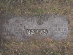
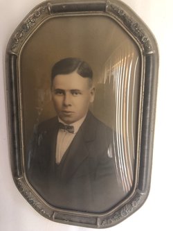
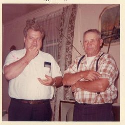
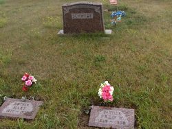
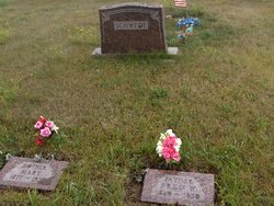
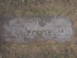
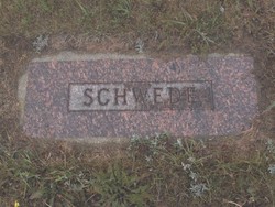
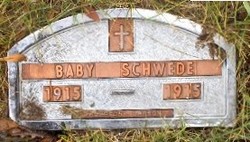
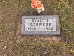
Otto Albert Schwede
| Birth | : | 16 Dec 1903 Ree Township, Ward County, North Dakota, USA |
| Death | : | 10 Jun 1973 Stanley, Mountrail County, North Dakota, USA |
| Burial | : | Yankee Point Cemetery, Parnell, Iowa County, USA |
| Coordinate | : | 41.5499992, -92.0177994 |
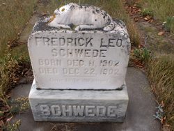
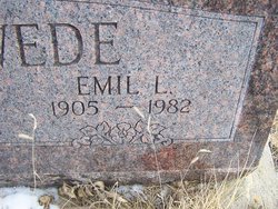
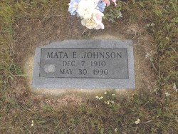
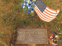
| Description | : | AURELIA — The funeral will be Thursday at 2 in the Aurelia Moravian Church for Otto Schwede, 69, Donnybrook area farmer, who died Sunday in a Stanley hospital. Rev. Robert Foster will officiate and burial will be in the church cemetery. Mr. Schwede was born Dec. 16, 1903, at Aurelia to Mr. and Mrs. Frederick Schwede. He was married to Gladys Mae Johnson at Plentywood, Mont., June 19, 1946. After their marriage they farmed in Carbondale Township, Ward County. Surviving are his wife; a son, Herb of Donnybrook; a daughter, Mrs. Marlin (June) Myers, Berthold; three grandchildren; four brothers, Manuel, Fritz and Evalt, all... Read More |
frequently asked questions (FAQ):
-
Where is Otto Albert Schwede's memorial?
Otto Albert Schwede's memorial is located at: Yankee Point Cemetery, Parnell, Iowa County, USA.
-
When did Otto Albert Schwede death?
Otto Albert Schwede death on 10 Jun 1973 in Stanley, Mountrail County, North Dakota, USA
-
Where are the coordinates of the Otto Albert Schwede's memorial?
Latitude: 41.5499992
Longitude: -92.0177994
Family Members:
Parent
Spouse
Siblings
Flowers:
Nearby Cemetories:
1. Yankee Point Cemetery
Parnell, Iowa County, USA
Coordinate: 41.5499992, -92.0177994
2. Clothier Cemetery
Iowa County, USA
Coordinate: 41.5331268, -92.0418243
3. Saint Josephs Cemetery
Parnell, Iowa County, USA
Coordinate: 41.5865100, -91.9950800
4. Piersol Cemetery
North English, Iowa County, USA
Coordinate: 41.5406000, -91.9621000
5. Walsh Cemetery
Liberty Township, Keokuk County, USA
Coordinate: 41.5083434, -91.9918427
6. Watters Cemetery
Liberty Township, Keokuk County, USA
Coordinate: 41.5083437, -91.9751755
7. Vincent Cemetery
Liberty Township, Keokuk County, USA
Coordinate: 41.4986207, -92.0335102
8. Campbell Cemetery
North English, Iowa County, USA
Coordinate: 41.5539017, -92.0942001
9. Saint Patricks Cemetery
Keokuk County, USA
Coordinate: 41.4997686, -91.9807820
10. North English Cemetery
North English, Iowa County, USA
Coordinate: 41.5186000, -92.0858000
11. Champion Hill Cemetery
Green Center, Iowa County, USA
Coordinate: 41.5493000, -91.9146000
12. Saint Josephs Cemetery
Millersburg, Iowa County, USA
Coordinate: 41.5861015, -92.1194000
13. Thomas Cemetery
Keokuk County, USA
Coordinate: 41.5049000, -92.1180000
14. Saint Michaels Cemetery
Holbrook, Iowa County, USA
Coordinate: 41.5901566, -91.9134674
15. Fairview Cemetery
Washington County, USA
Coordinate: 41.4832993, -91.9360962
16. Pilot Grove Cemetery
Williamsburg, Iowa County, USA
Coordinate: 41.6300011, -92.0849991
17. English River Church of the Brethren Cemetery
South English, Keokuk County, USA
Coordinate: 41.4556313, -92.0383072
18. South English Cemetery
South English, Keokuk County, USA
Coordinate: 41.4672012, -92.0860977
19. Salem Mennonite Church Cemetery
Washington County, USA
Coordinate: 41.4675000, -91.9450000
20. McArtor Cemetery
Holbrook, Iowa County, USA
Coordinate: 41.5520134, -91.8852692
21. Lutton Cemetery
South English, Keokuk County, USA
Coordinate: 41.4963989, -92.1342010
22. Saint Paul Lutheran Cemetery
Williamsburg, Iowa County, USA
Coordinate: 41.6514015, -91.9985962
23. Saint Marys Cemetery
Williamsburg, Iowa County, USA
Coordinate: 41.6525002, -91.9966965
24. Oak Hill Cemetery
Williamsburg, Iowa County, USA
Coordinate: 41.6533012, -91.9985962

