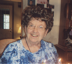
Reinhold Mayer
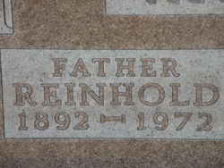
| Birth | : | 23 Jun 1892 Tripp, Hutchinson County, South Dakota, USA |
| Death | : | 29 Jul 1972 Gregory, Gregory County, South Dakota, USA |
| Burial | : | Otaki Public Cemetery, Otaki, Kapiti Coast District, New Zealand |
| Coordinate | : | -40.7528152, 175.1497955 |
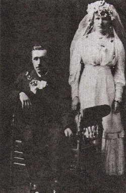
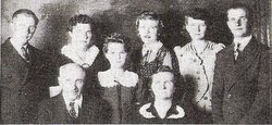
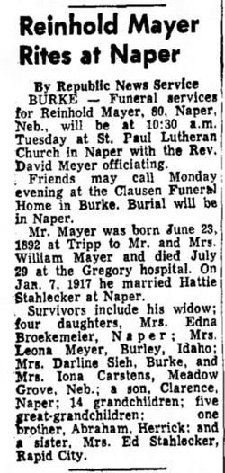
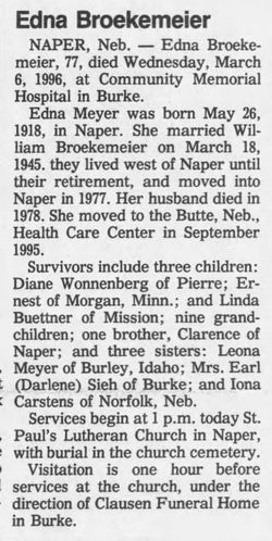
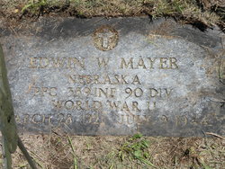
| Description | : | Reinhold was born June 23, 1892 in Tripp, South Dakota to Wilhelm and Elizabeth (Littau) Mayer. He married Hedwich (Hattie) Stahlecker on Jan. 7, 1917 at Naper, Nebraska. To this union six children were born. They lived on the same farm for 48 years, and then moved to Naper, Nebraska in 1964. Reinhold is survived by his wife, Hattie; four daughters, Edna Broekemeier (Bill), Leona Mayer (Clarence), Darlene Sieh (Earl), and Iona Boucher (Alfred); one son, Clarence (Sylvia); 14 grandchildren; and 15 great grandchildren. Reinhold was preceded in death by his parents and one son, Edwin. ***************************** |
frequently asked questions (FAQ):
-
Where is Reinhold Mayer's memorial?
Reinhold Mayer's memorial is located at: Otaki Public Cemetery, Otaki, Kapiti Coast District, New Zealand.
-
When did Reinhold Mayer death?
Reinhold Mayer death on 29 Jul 1972 in Gregory, Gregory County, South Dakota, USA
-
Where are the coordinates of the Reinhold Mayer's memorial?
Latitude: -40.7528152
Longitude: 175.1497955
Family Members:
Spouse
Children
Flowers:
Nearby Cemetories:
1. Otaki Public Cemetery
Otaki, Kapiti Coast District, New Zealand
Coordinate: -40.7528152, 175.1497955
2. Pukekaraka Cemetery
Otaki, Kapiti Coast District, New Zealand
Coordinate: -40.7453310, 175.1434230
3. Otaki Catholic Cemetery
Otaki, Kapiti Coast District, New Zealand
Coordinate: -40.7453400, 175.1426220
4. Rangiatea Churchyard
Otaki, Kapiti Coast District, New Zealand
Coordinate: -40.7499200, 175.1375800
5. Manakau Cemetery
Manakau, Horowhenua District, New Zealand
Coordinate: -40.7289340, 175.2067100
6. Kuku Māori Cemetery
Ohau, Horowhenua District, New Zealand
Coordinate: -40.6743300, 175.2402000
7. Waikanae Cemetery
Waikanae, Kapiti Coast District, New Zealand
Coordinate: -40.8678660, 175.0513240
8. Takamore Urupā
Waikanae Beach, Kapiti Coast District, New Zealand
Coordinate: -40.8721430, 175.0295190
9. Old Levin Cemetery
Levin, Horowhenua District, New Zealand
Coordinate: -40.6248570, 175.2710830
10. McDonald Family Cemetery
Hokio, Horowhenua District, New Zealand
Coordinate: -40.6038400, 175.2331650
11. Arapawaiti Cemetery Reserve
Paraparaumu Beach, Kapiti Coast District, New Zealand
Coordinate: -40.8811810, 175.0047520
12. Paraparaumu Beach Cemetery
Paraparaumu Beach, Kapiti Coast District, New Zealand
Coordinate: -40.8965800, 174.9862800
13. Avenue Cemetery
Levin, Horowhenua District, New Zealand
Coordinate: -40.5974007, 175.2957001
14. Awa Tapu Cemetery
Paraparaumu, Kapiti Coast District, New Zealand
Coordinate: -40.9328870, 175.0122070
15. Puaotapu Cemetery
Koputaroa, Horowhenua District, New Zealand
Coordinate: -40.5602300, 175.3522700
16. MacKay Family Cemetery
Kapiti Coast District, New Zealand
Coordinate: -40.9726800, 174.9833330
17. Mira Family Urupā
Paraparaumu, Kapiti Coast District, New Zealand
Coordinate: -40.9753380, 174.9643460
18. Shannon Cemetery
Shannon, Horowhenua District, New Zealand
Coordinate: -40.5476570, 175.4006020
19. Poutu (Shannon) Marae Cemetery
Moutoa, Horowhenua District, New Zealand
Coordinate: -40.5222650, 175.4003673
20. Foxton Cemetery
Foxton, Horowhenua District, New Zealand
Coordinate: -40.4800880, 175.3133440
21. Ihakara Gardens
Foxton, Horowhenua District, New Zealand
Coordinate: -40.4702980, 175.2815650
22. David Leary Memorial
Eketahuna, Tararua District, New Zealand
Coordinate: -40.7079188, 175.5836626
23. Akatarawa Cemetery
Upper Hutt City, New Zealand
Coordinate: -41.0876320, 175.1025870
24. Pukerua Bay Urupā
Pukerua Bay, Porirua City, New Zealand
Coordinate: -41.0300425, 174.8969530

